Seeing a lull in showers right now along the coast. Meanwhile, there are storms firing up ahead of the stationary front just north of I-20 between Vicksburg and Meridian. Hazards include heavy downpours, gusty winds up to 40 mph, and frequent lightning. Localized flooding could occur, though these storms are moving, which should help limit the flood threat somewhat.
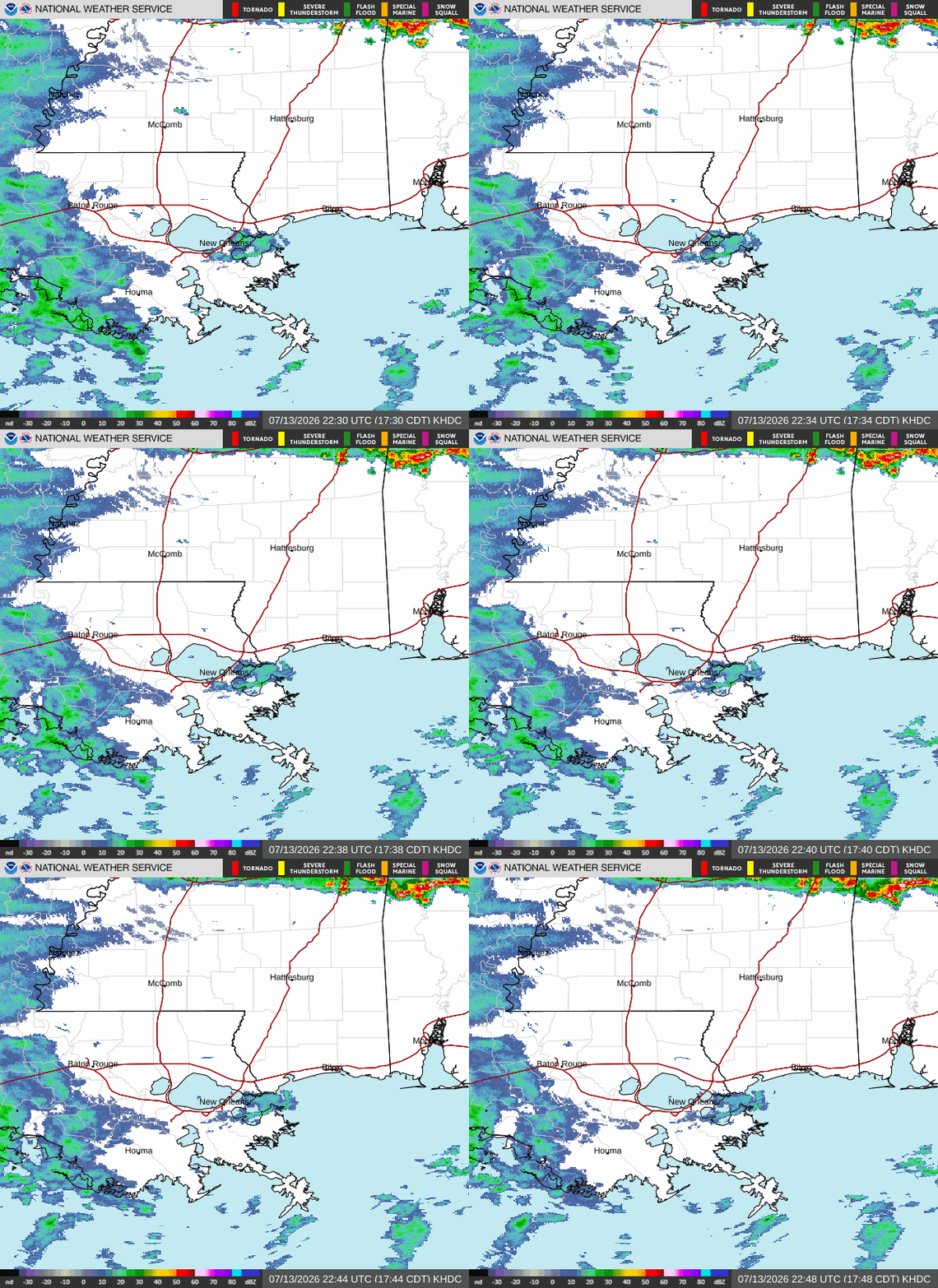
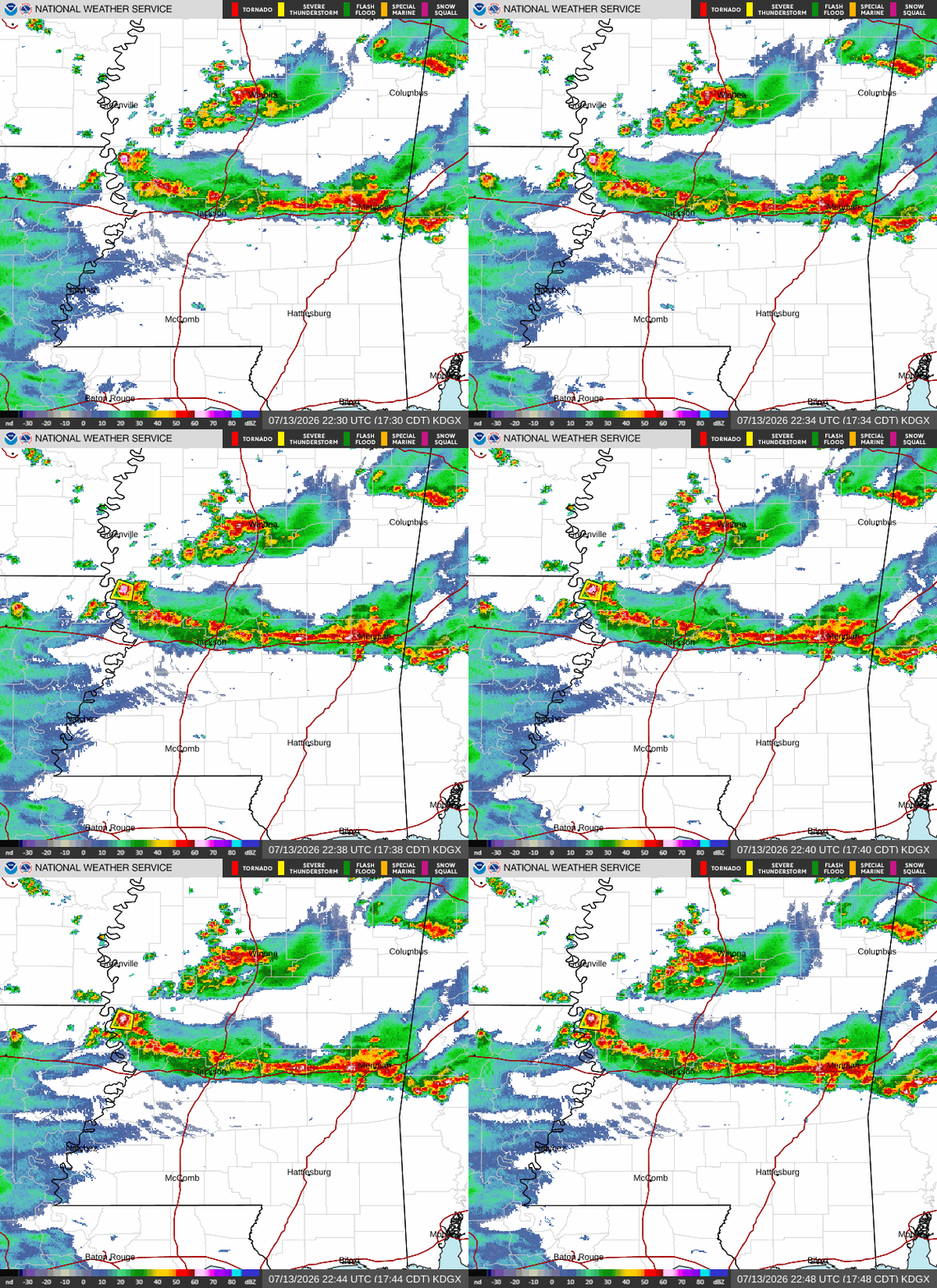
Storms are moving south and could reach parts of Hattiesburg this evening before dissipating.
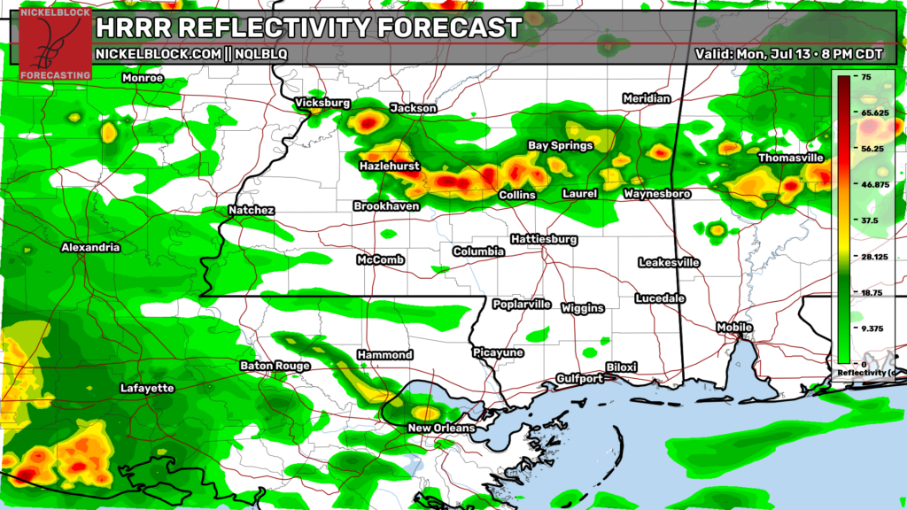
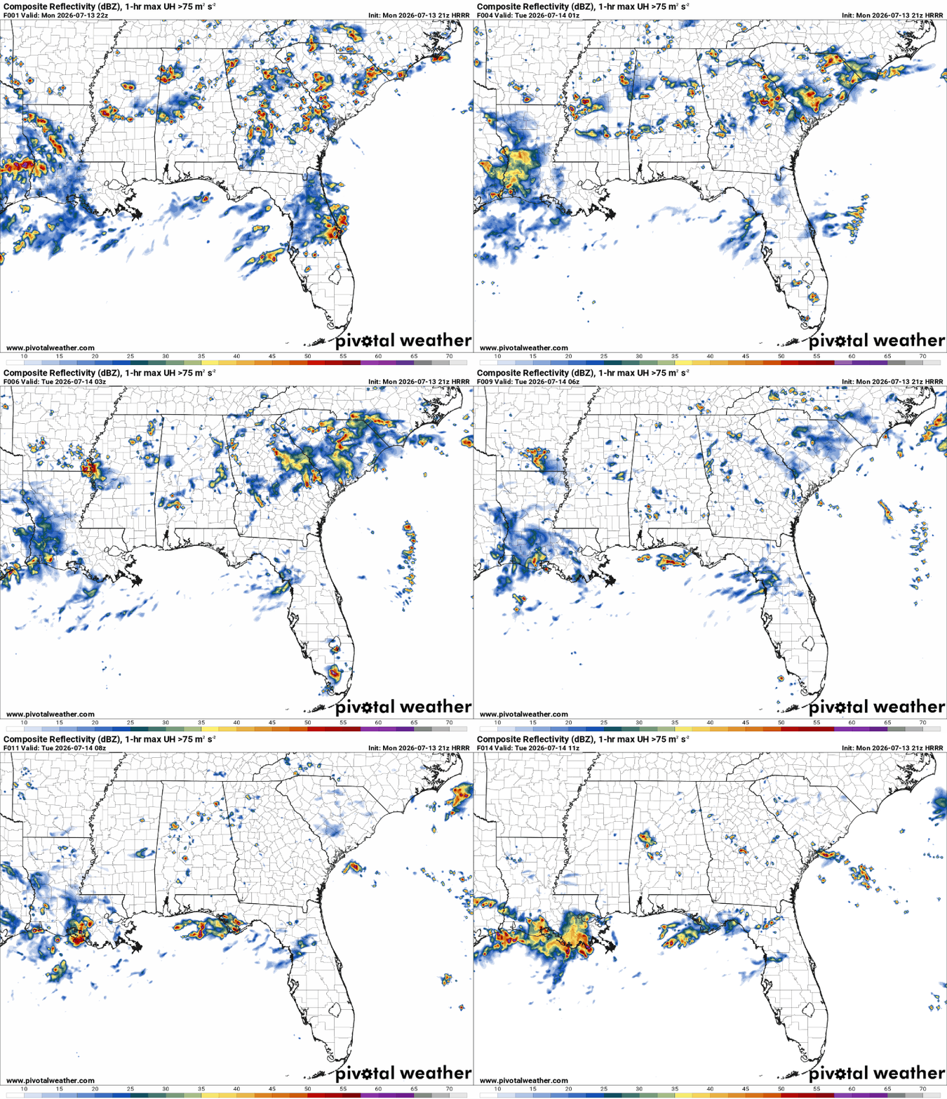
Short-range models show a large area of showers and thunderstorms developing overnight and into the early morning hours along the Louisiana coast.
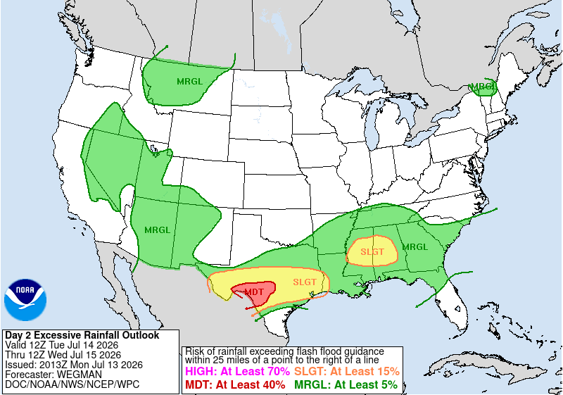
Quick update to the excessive rainfall outlook… the WPC upgraded central Mississippi to a Slight Risk for tomorrow. This is because heavier rainfall and scattered instances of flash flooding are expected. Soils are also saturated from today’s rain.
So those within and near the yellow-shaded region below should stay alert.