Howdy!
Make sure to check out my video forecast!
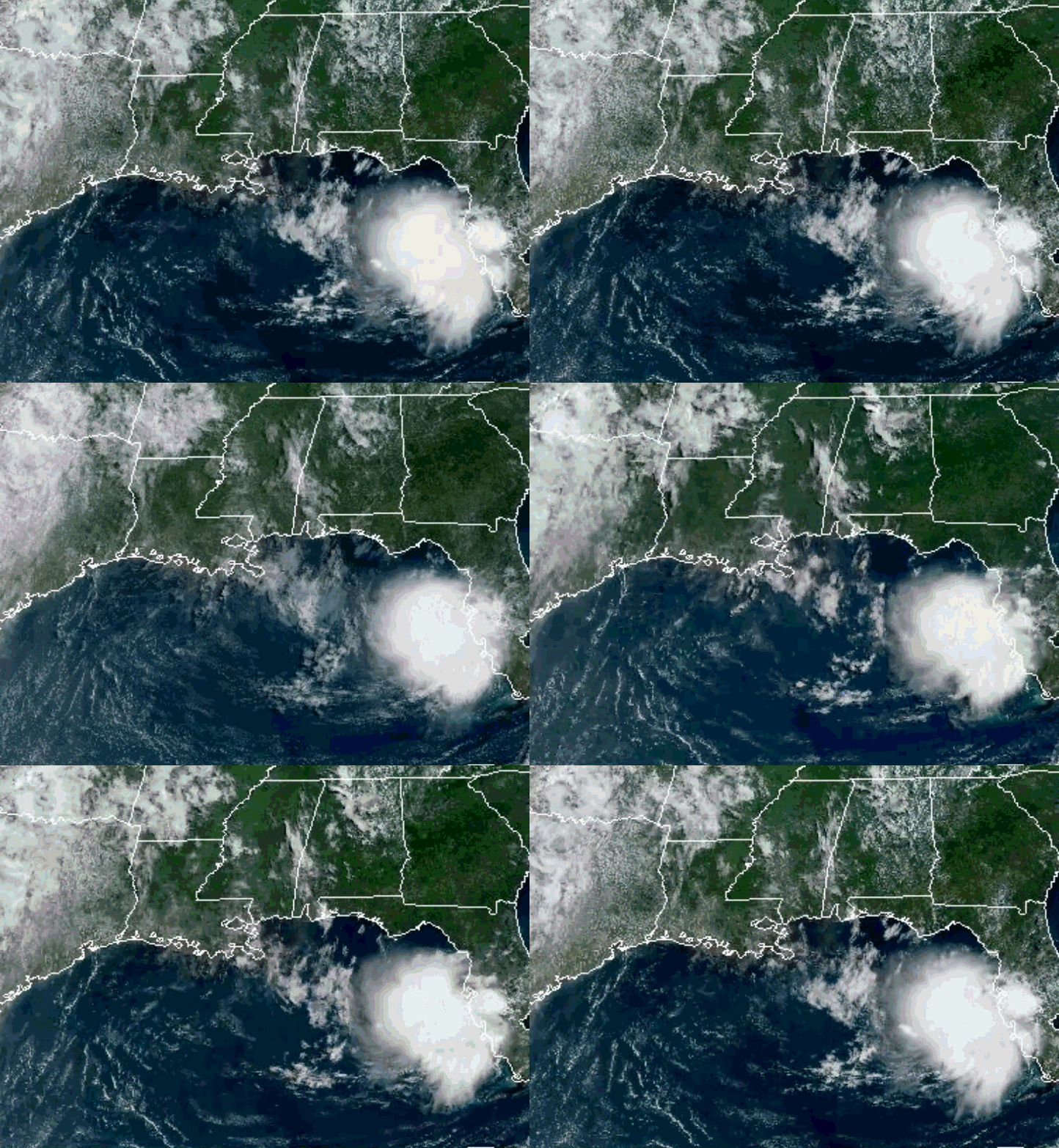
Looking out the window, there really isn’t much going on currently in our region. No showers or thunderstorms, with just a small number of clouds over the area. Notice the area of clouds by southern Florida, this will bring with it some moisture by tomorrow that will cause conditions to be pretty humid by next week. The NHC has marked this area as a 20% chance of tropical cyclone formation over the next 7 days.
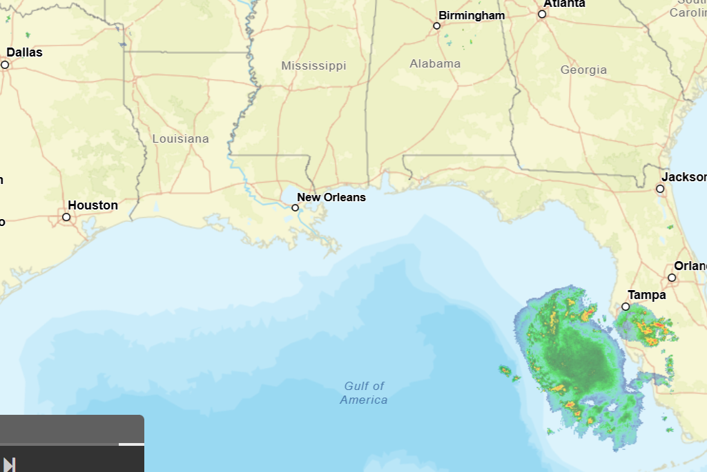
The forecast is on track today! Nothing has really changed. It will be HOT, that is a guarantee as high temperatures remain above normal.
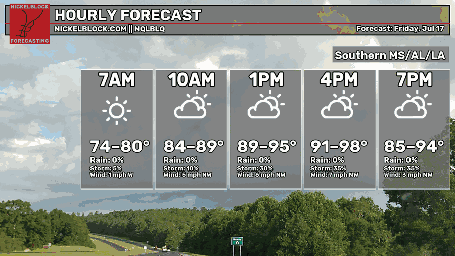
The highs today will reach the low to upper 90s, heat index values reaching over 100. Until tomorrow evening, we are in a bit of a dry spell, not much chance to see any rain today (although an isolated shower and/or thunderstorm cannot be ruled out).
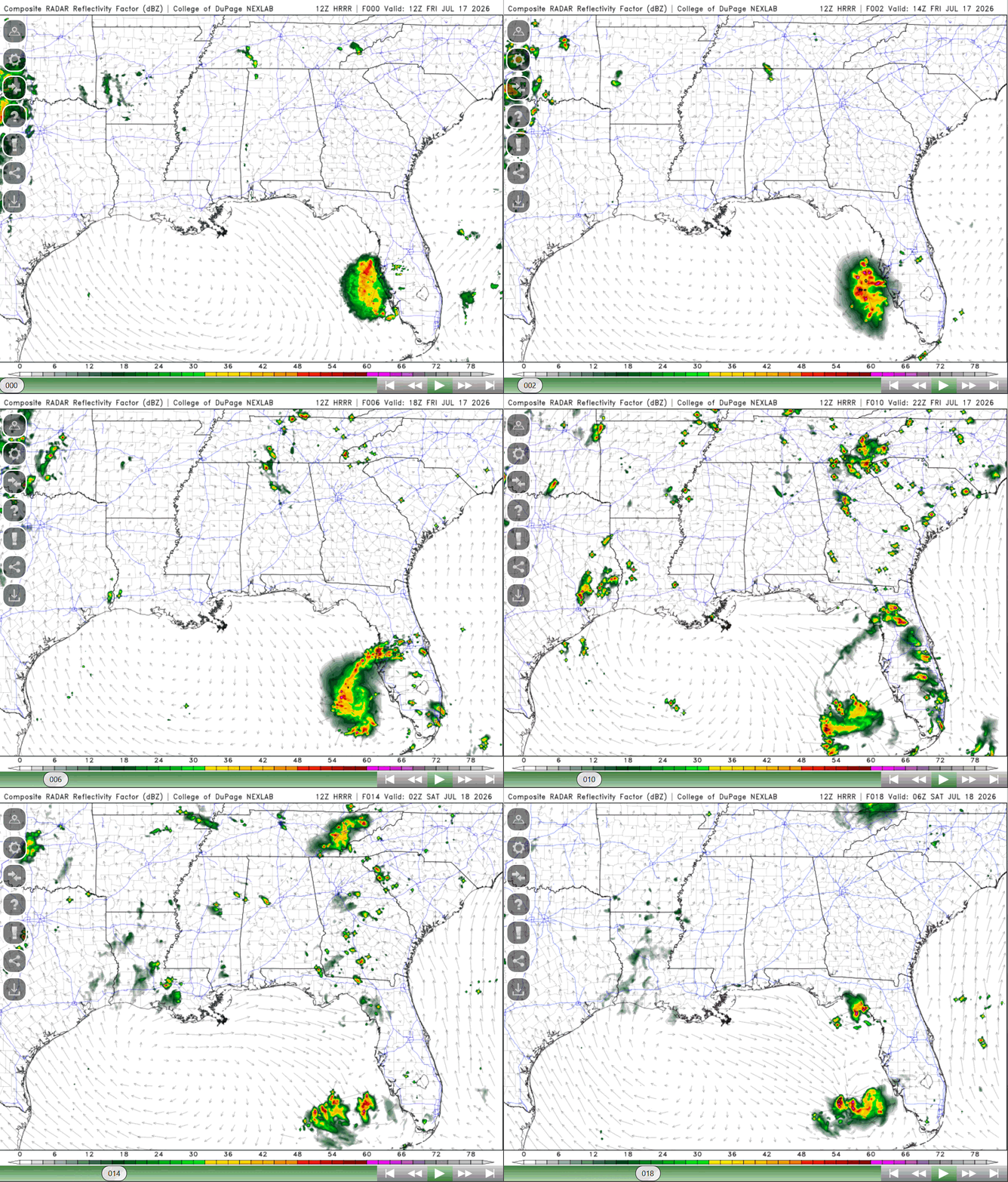
The system off the coast of southern Florida is expected to develop into a surface low as the ridge/high pressure over us currently shifts slowly to the west/northwest, allowing this system to also propagate westward into the area. This will allow a good amount of moisture to head in by Saturday afternoon/evening, increasing the chance for rain this weekend. Tomorrow evening, the eastern portion of the region sees the greatest chance for scattered showers and thunderstorms.
Despite the chance for rain this weekend, conditions still remain hot, and add the increased humidity, heat index values are going to increase as well. So, I encourage you to take the proper precautions when outside because heat stress is no joke! Thanks, and have a good rest of your Friday!


