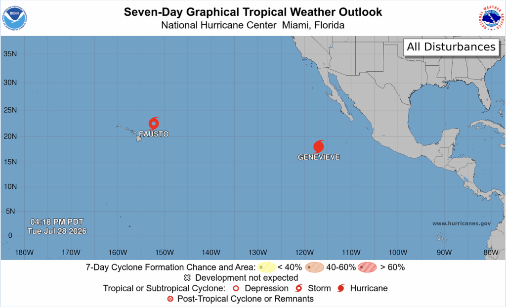
Happy Tuesday! While we don’t have any disturbances in the Atlantic or tropical cyclone activity expected over the next 7 days, there are 2 tropical cyclones in the Pacific: Tropical Storm Fausto and Hurricane Genevieve.
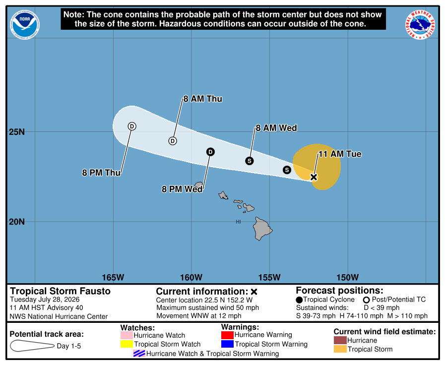
Tropical Storm Fausto is just east of the Hawaiian Islands, moving west-northwest at 12 mph. The maximum sustained winds are 50 mph with a minimum central pressure of 1005 mb. Fausto is expected to weaken as the storm continues towards the islands.
The current forecast indicates that the heaviest rainfall and wind will stay north of the islands; however, large surf and strong currents will create dangerous beach conditions.
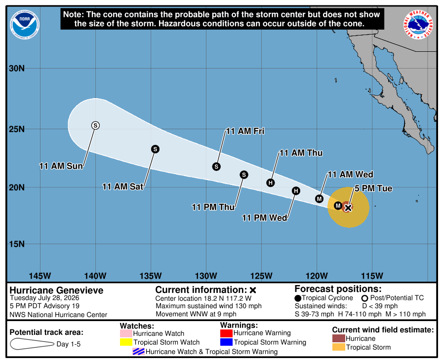
Category 3 Genevieve is moving west-northwest at 9 mph. The maximum sustained winds are 120 mph with a minimum central pressure of 955 mb.
Genevieve seems to be weakening and could become a tropical storm late Thursday.
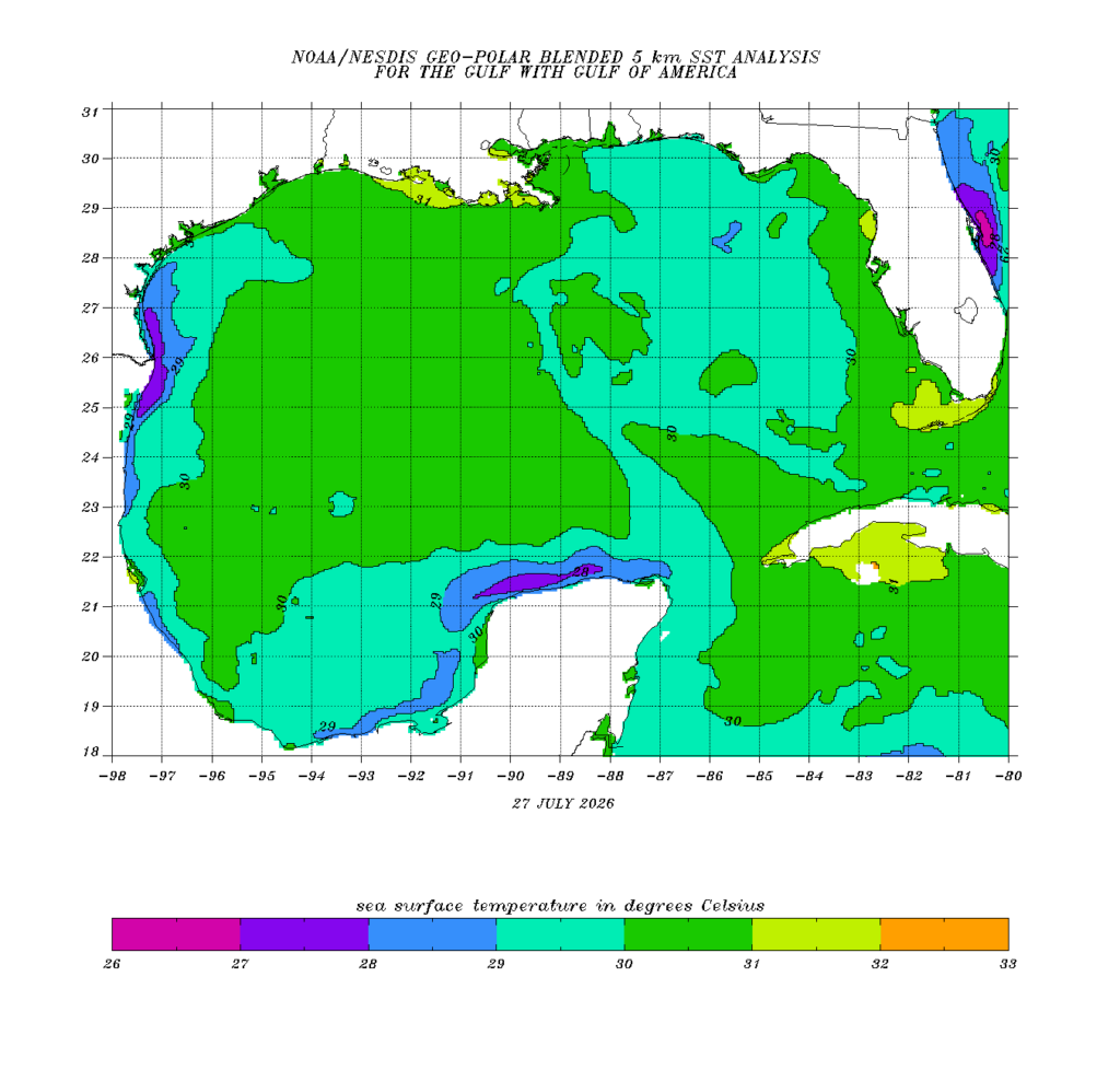
As for our area, sea surface temperatures (SSTs) in the Gulf, while still mostly within the optimal range for tropical cyclone development, are beginning to cool down.
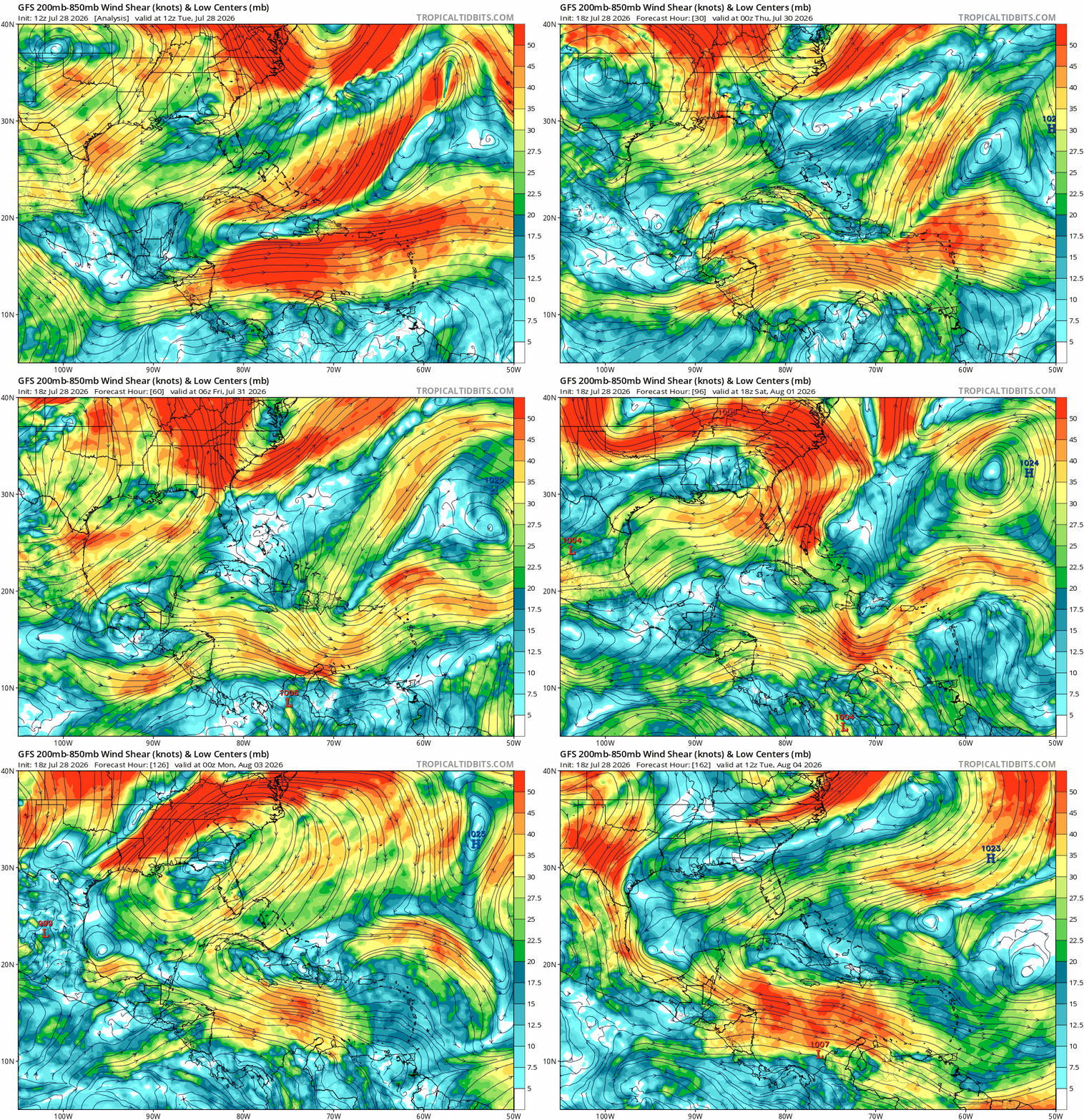
Over the next week, wind shear in the Gulf is moderate to strong. This is not optimal for tropical development.