Howdy!
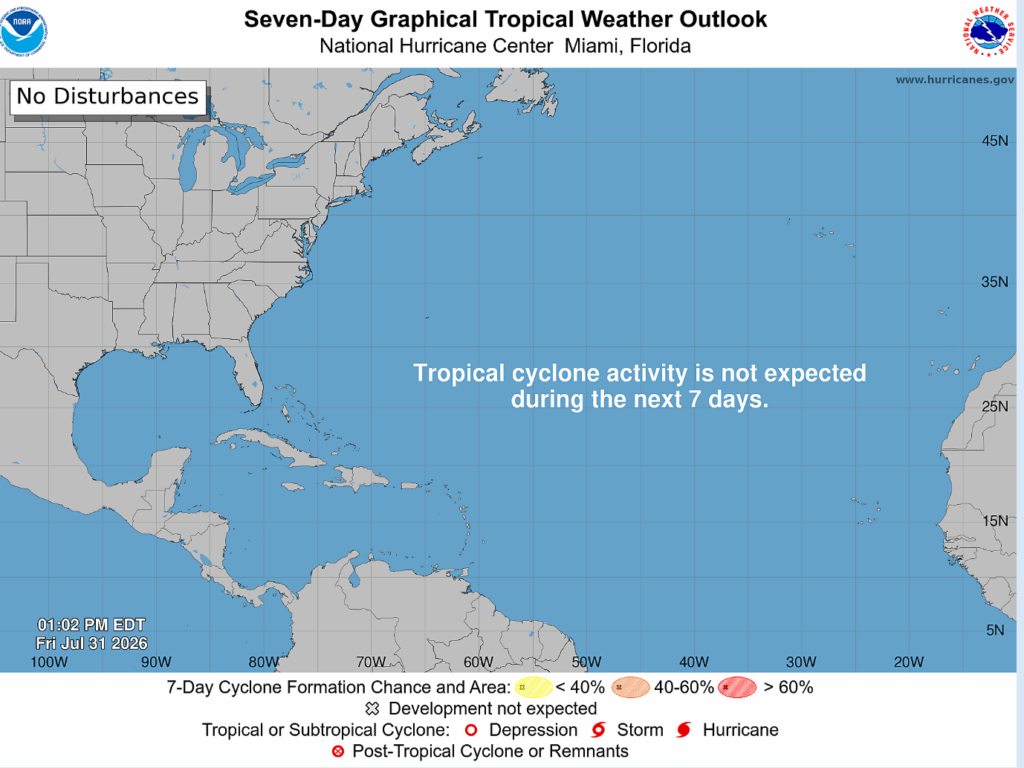
The Atlantic is looking to be quiet in the near future. Nothing is expected to develop within the next 7 days.
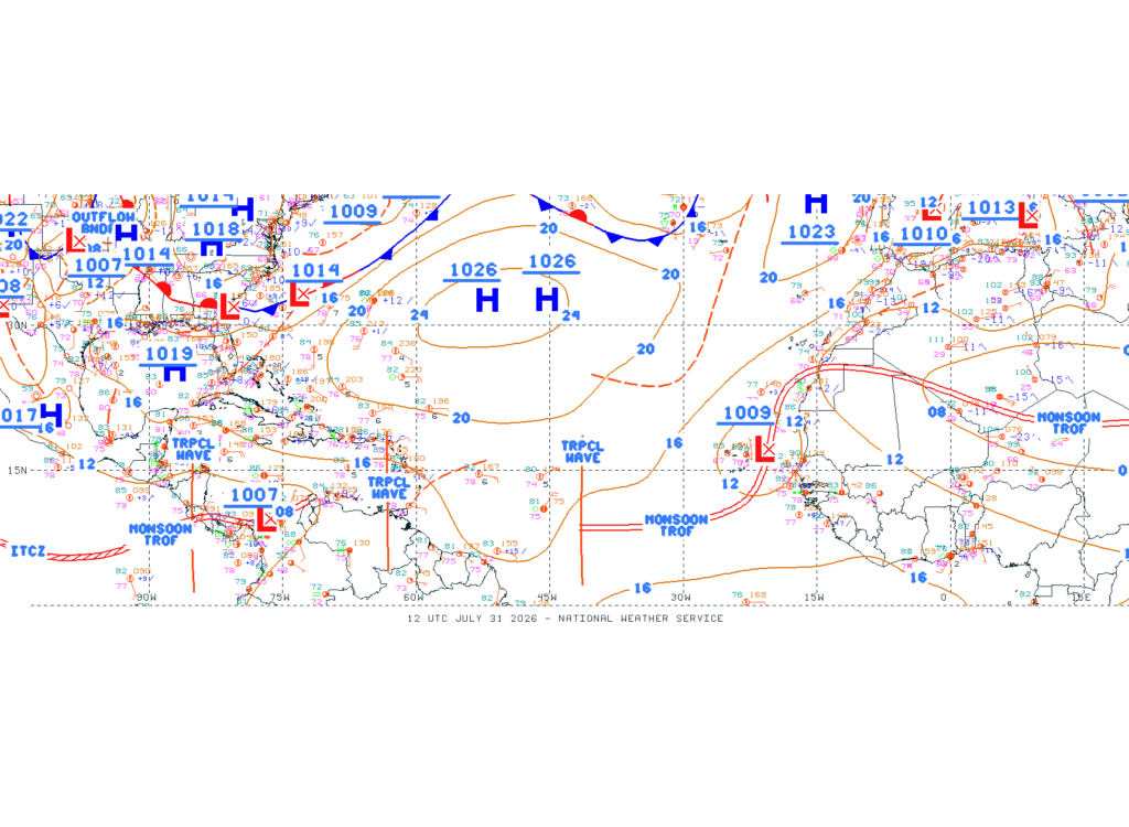
A few tropical waves have been identified that are producing scattered to moderate convection. A low pressure is located just off the coast of Africa, monsoon trough continuing southward from this low. Over the gulf, high pressure takes over and a boundary is over the southeastern United States.
One of the factors that is surpressing tropical development is a plume of Saharan Dust, aka the Saharan Air Layer. We can see that below in this satellite image, the dust starting to spread throughout the tropical Atlantic. This dust is dry, decreasing access to the moisture that is needed for storms to start developing.
Another surpressing factor is the wind shear, strong pockets of wind shear that are denying any storms to develop deeper. Ocean tempreatures are warm enough to fuel hurricanes, it is just other factors that are playing into this below-average season. The Pacific is getting plenty of storms, some of which have gotten as high as Category 4 or 5 status.

As we get closer to the peak time of hurricane season (September), tropic conditions will continue to be monitored. Looking ahead, some models like the GFS indicate a tropical disturbance developing by next weekend near the southeastern US coast, but most models do not show this. A likely overestimate for the GFS.
Nonetheless, we will keep watch for anything new. And as always, it is important to have a plan in place just in case a storm does come to impact your area. Thanks and have a good rest of your Friday!


One thought on “All quiet on the horizon – Tropical update 7/31/2026”
Comments are closed.