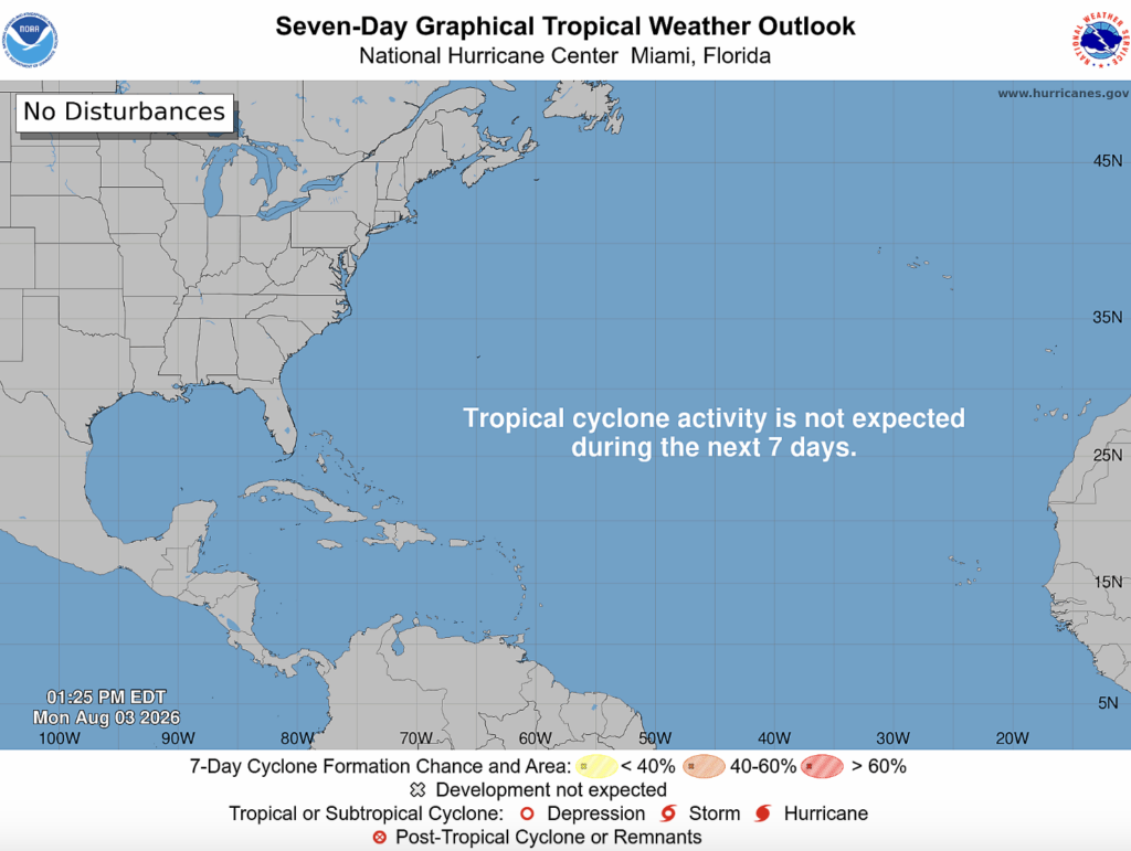
Both the Atlantic and Pacific Oceans are quiet! The National Hurricane Center (NHC) doesn’t expect tropical cyclone activity over the next 7 days.
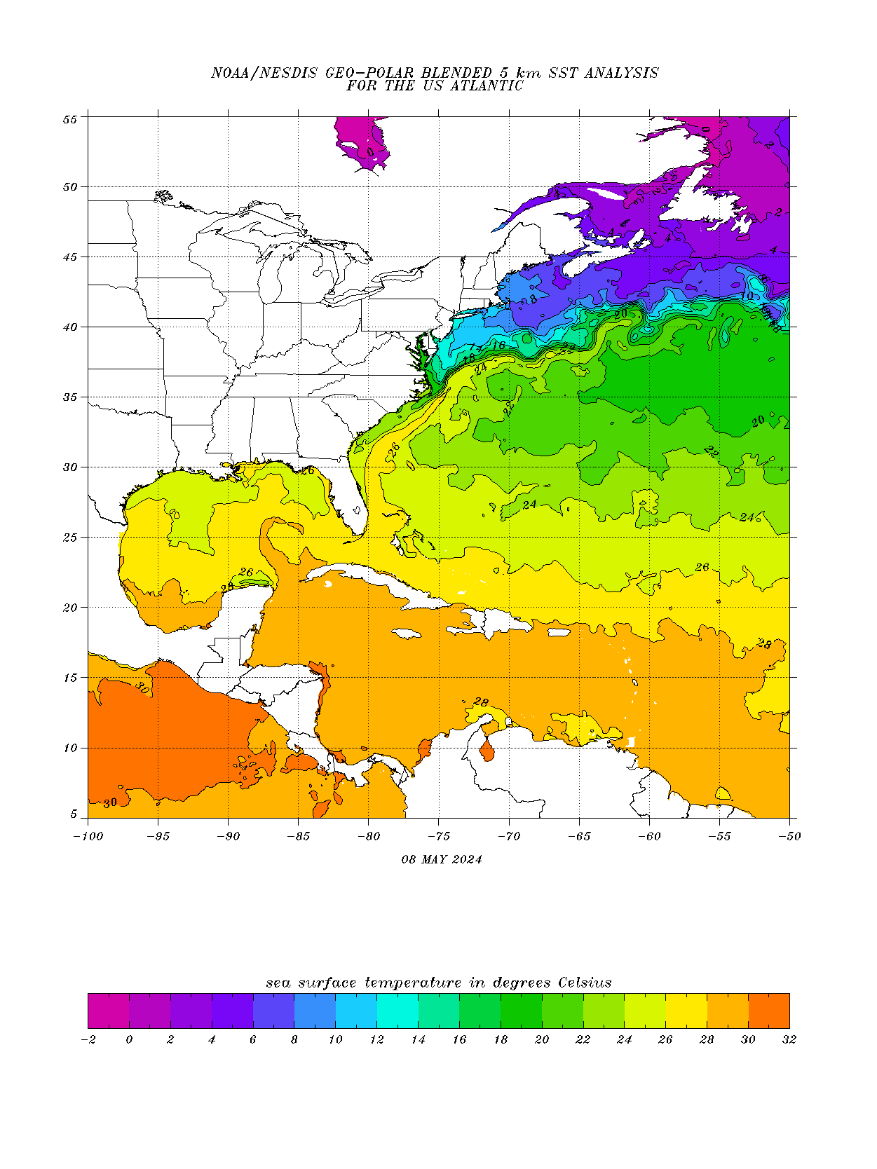
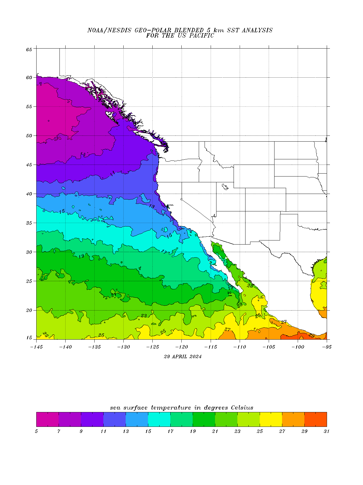
The Gulf sea surface temperatures (SSTs) are mostly in the optimal range for tropical development. The Atlantic SSTs are slightly below to optimal for tropical development. Towards the Northeast, SSTs start to become less optimal for development. Lastly, the Pacific SSTs seem to be optimal towards the west coast of Mexico. The west coast here is too cool to support tropical development.

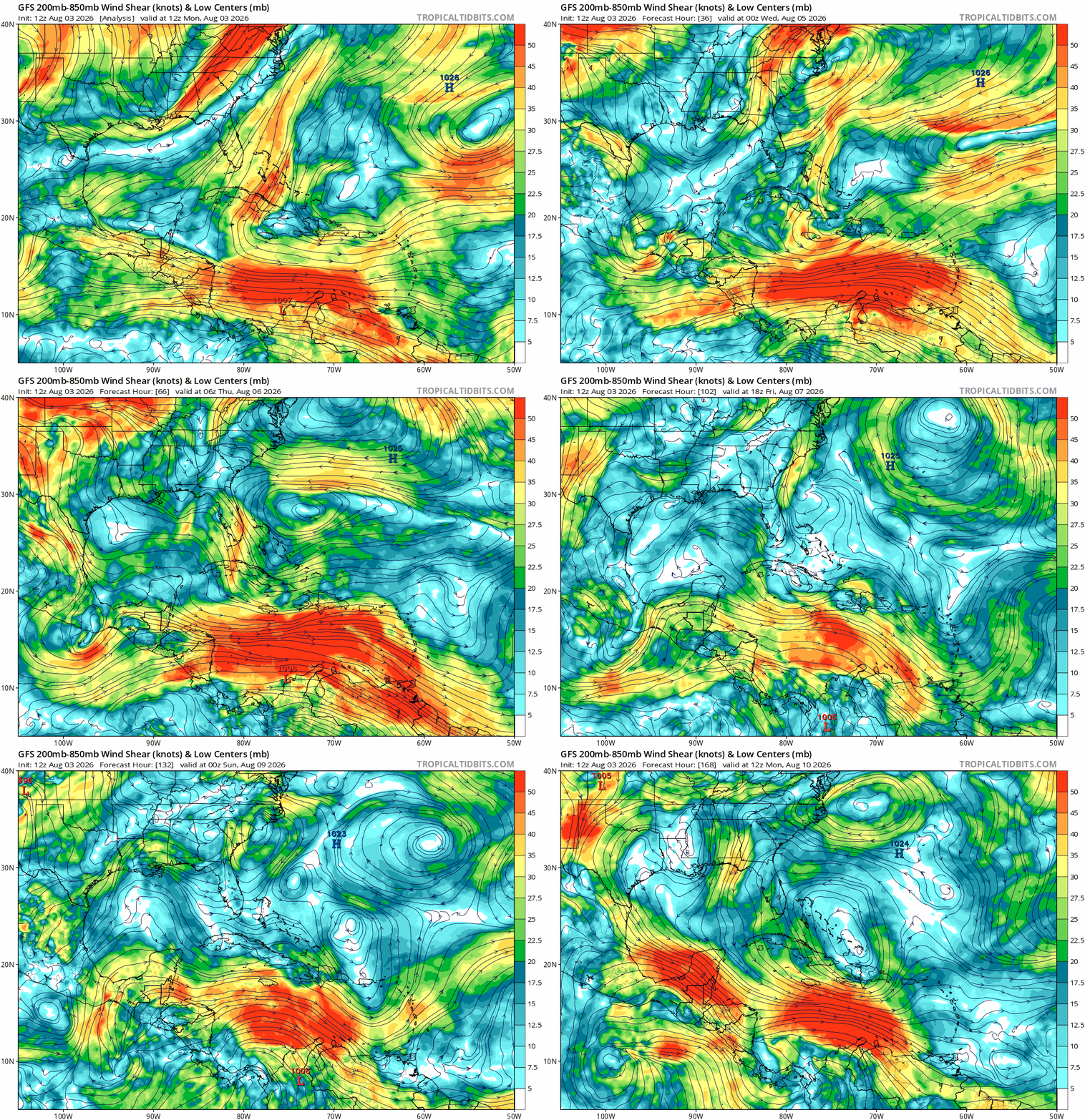
The wind shear in the Gulf remains low for most of the week. In the Atlantic, wind shear is moderate to strong at the beginning of the week. Also, the wind shear in the Caribbean is very strong. In summary, the areas of low wind shear are much more favorable for tropical development.