Scattered storms have fired along I-55, with a stronger cluster near Brookhaven and Jackson.
Mendenhall should be on the watch for some small hail and wind gusts up to 60 mph.
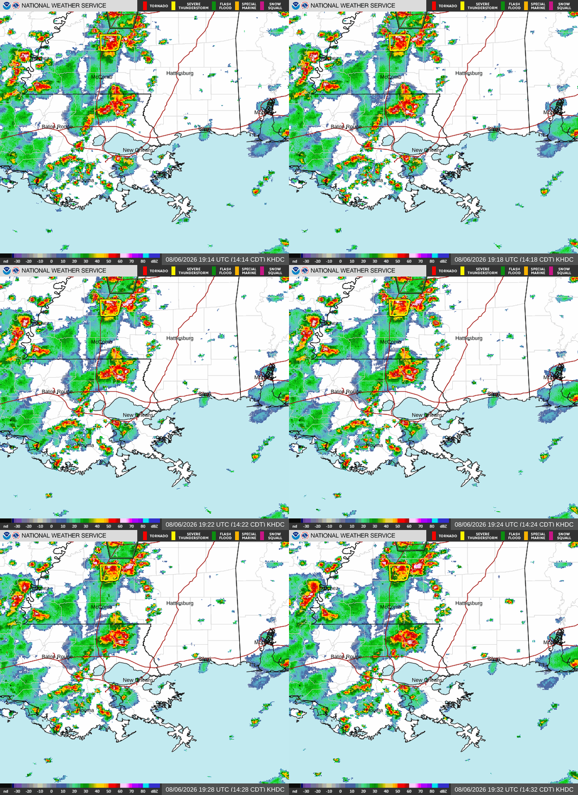
And because these storms are slow-moving (some nearly stationary) a flash flood warning has been issued for the Jackson metro area, where minor flooding of creeks and roadways is possible.
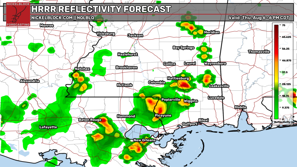
These scattered storms will likely impact much of southern Mississippi and Louisiana over the next few hours as they propagate east, reaching Hattiesburg and Bogalusa by 6pm. Brief wind gusts of 40–50 mph may occur with the strongest cells, but heavy rainfall will be the main impact…and I wouldn’t be too surprised if another flood warning is issued this evening.