Welp, were seeing a bit more activity in the Atlantic basin as August ramps up. Here’s what you need to know:
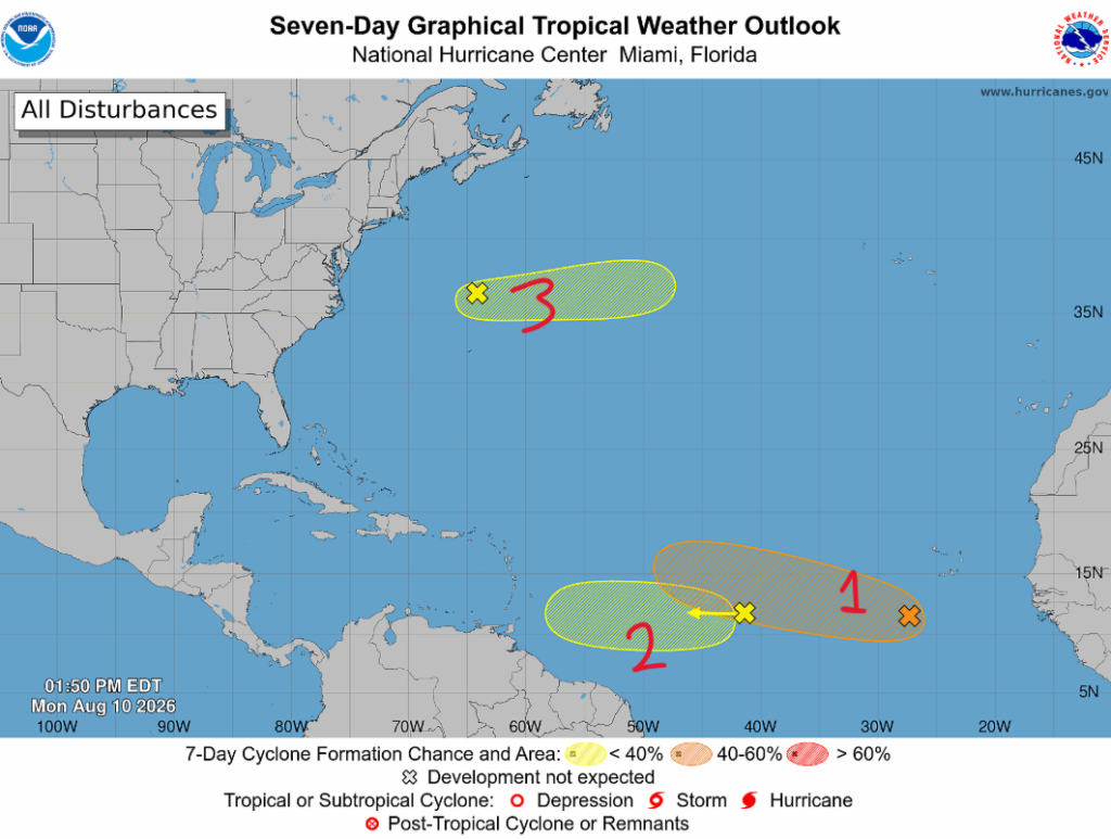
The National Hurricane Center is currently monitoring three separate disturbances in the Atlantic, but not all of them are equal threats. While none are currently tropical cyclones, one system in particular could become more organized by mid-week.
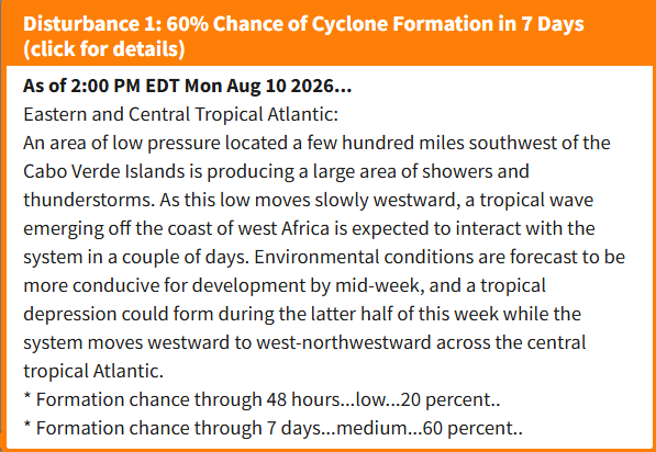
Disturbance #1- Eastern Tropical Atlantic: The main area we are watching right now is a broad area of low pressure located a few hundred miles southwest of the Cabo Verde Islands. A tropical wave moving off the coast of Africa is expected to interact with this low over the next couple of days, which could help the system become better organized. As it moves west to west-northwest across the central Atlantic, conditions are expected to become more favorable for development by the middle of the week. The National Hurricane Center is giving this system a medium (60%) chance of development over the next seven days, so this will be the disturbance to keep the closest eye on through the remainder of the week.
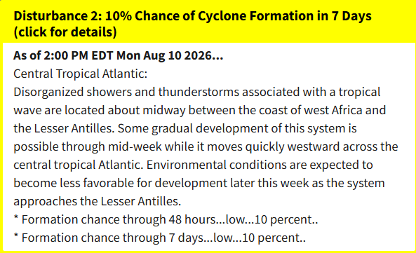
Disturbance #2 – Central Tropical Atlantic: Farther west, another tropical wave is moving across the central Atlantic with a disorganized area of showers and thunderstorms. Some development is possible over the next few days, but increasing wind shear and other unfavorable conditions should limit its chances as it moves toward the Lesser Antilles. For now, this remains a low-end development threat, but we’ll continue to monitor it.
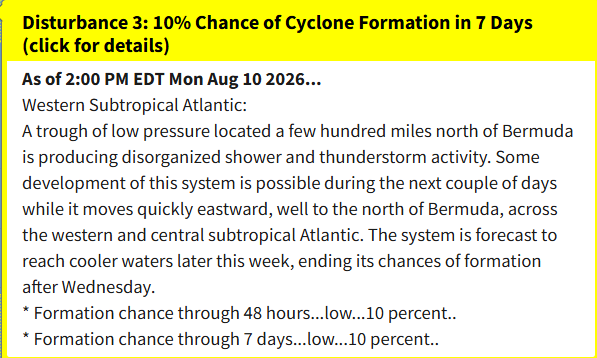
Disturbance #3 -Western Atlantic: The third area of interest is a broad area of low pressure located north of the Bahamas, producing some disorganized showers and thunderstorms. While some development is possible over the next couple of days, cooler waters and increasingly unfavorable conditions should limit its chances. For now, this remains a low-end development threat and is not expected to become a major concern.
Overall, the Atlantic is beginning to show some signs of increased activity, with three disturbances being monitored across the basin. Most of our attention remains on the eastern Atlantic system, which has the best chance of becoming a tropical depression later this week, while the other two disturbances face more unfavorable conditions for development. For now, there are no immediate land threats, but the tropics are becoming more active as we head through the middle of August. Stay safe!


