We have a very typical summertime setup as this Gulf ridge continues to suppress storm formation and keep the skies clear. Unfortunately, this comes with record-high temperatures across our region that will continue until early next week.
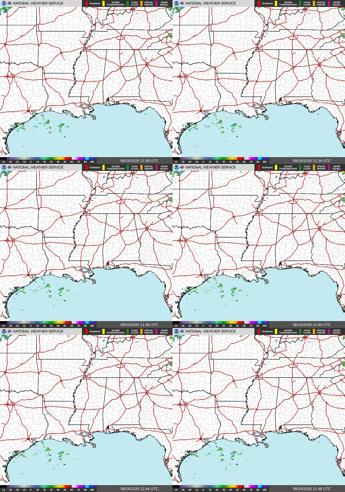
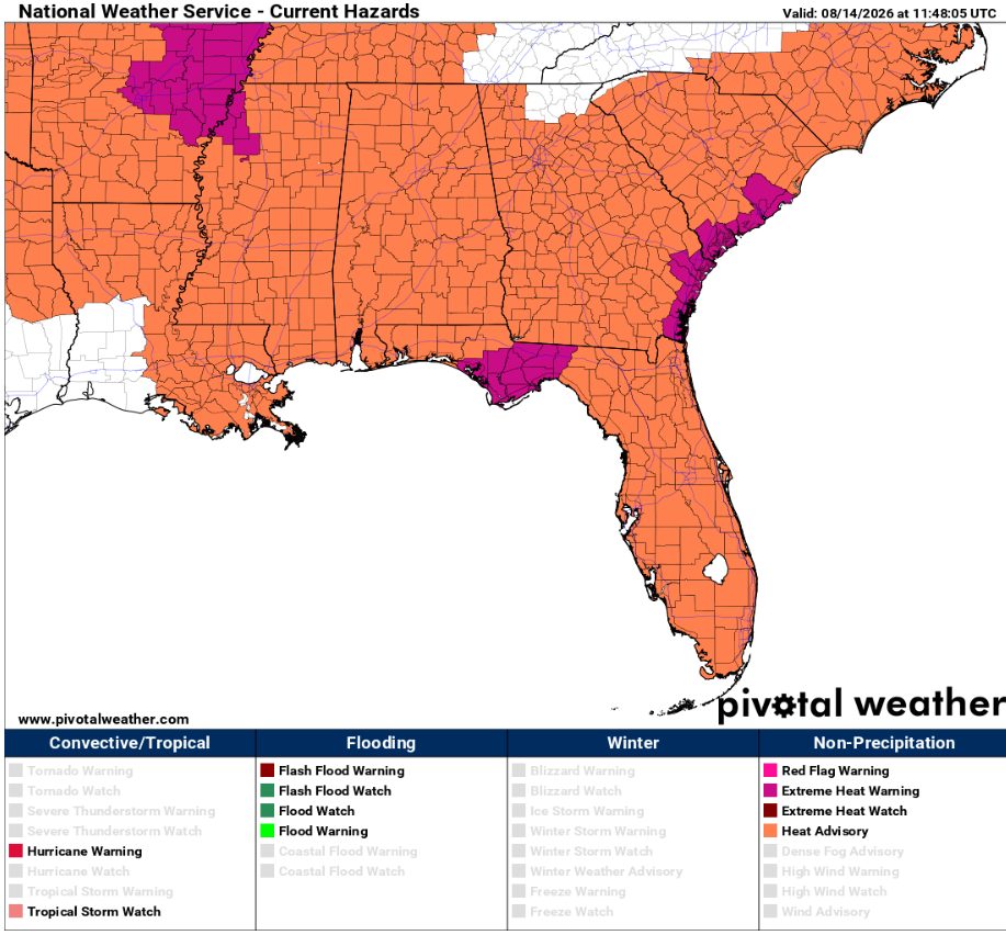
Currently, we have clear skies across Southern MS/AL/LA, and this will continue for the rest of the day. Accompanying this are heat advisories and extreme heat warnings for a majority of our region, with Southwestern Louisiana just barely getting cut out of the advisory area.
We can clearly see this ridge on the below 500 mb chart at the 579 decameters (dam) circle around Southern MS/AL/LA. This line shows that the atmospheric pressure is 500 mb at 5,790 meters above sea level, indicating strong and persistent high pressure that we can clearly see on the chart below.
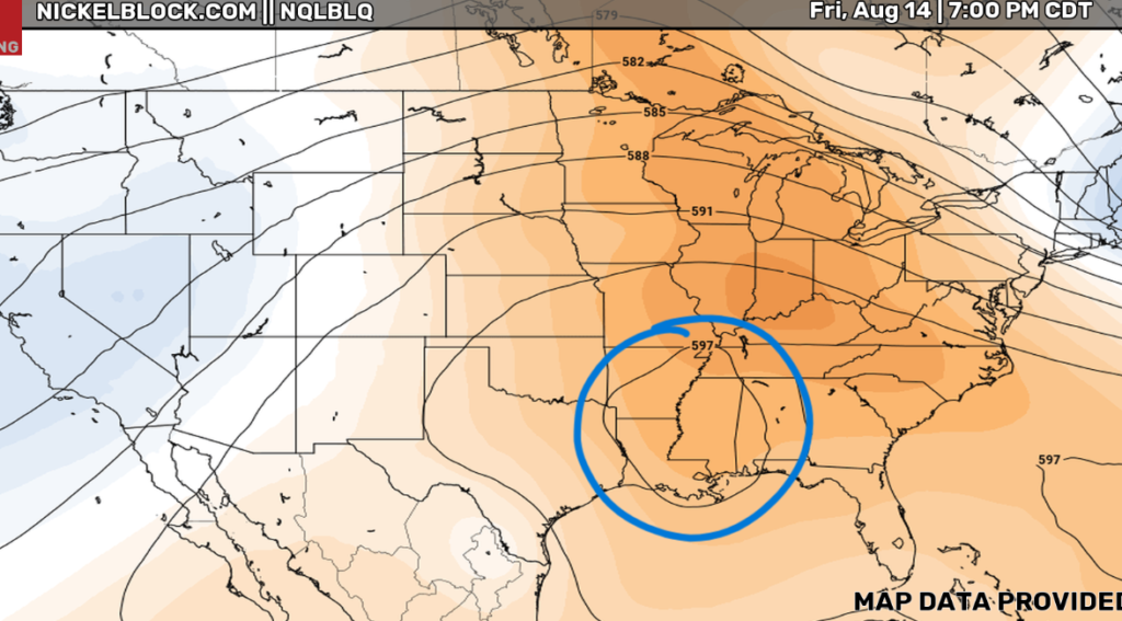
A 500 mb chart is one of the most trusted models in meteorology, especially because it sits halfway between the Earth’s surface and the top of the troposphere. This is used to measure the steering system of storms since the winds at this height control where surface features actually move. We also use this chart, as I just did, to identify ridges and troughs to analyze large-scale weather patterns.
A 500 mb chart is also used to spot mid-level atmospheric spin (Vorticity). Regions where vorticity is increasing (positive vorticity advection) create upward motion in the atmosphere. This rising air helps initiate and trigger severe thunderstorms, heavy rain, or snowstorms before they fully show up on surface radar.
Finally, the 500 mb chart is one of the most reliable models for medium-range forecasting, which is 3-10 days out. This system is the best because we can identify large-scale weather patterns that will affect us in the future, rather than focusing on specific surface details like local rainfall amounts or exact ground temperatures.
Take a look at this livestream from Destin, FL. Sure looks like a perfect beach weekend!
That’s all I’ve got for my final refresh forecast of the summer! Stay cool and have a great weekend, y’all!


