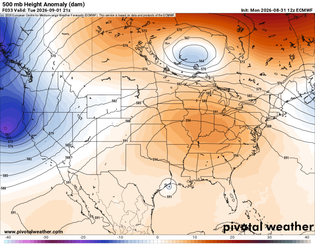
We’re one day away from September and we’re not much further from the hot weather we were dealt with almost a month ago. Not a huge surprise, but so far, it looks like we’re stuck with the hot and humid weather for a while longer. Unfortunately, the low pressure system turned tropical depression won’t have a large effect on cutting temperatures down. If anything, it’s driving up the humidity!

Tonight
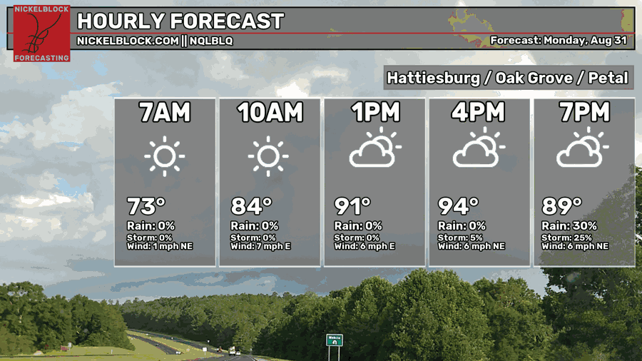
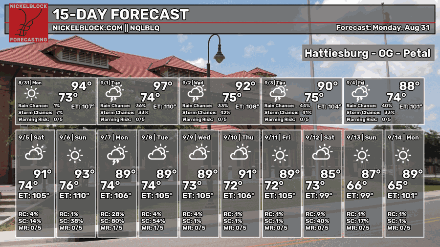
It’s already been a very humid day today! Some low and mid level clouds have moved their way in during the day sparking off a few showers and thunderstorms around south MS/LA. This is due in part to the now-tropical depression that’s rotating in the Gulf. The high has topped out around 95 today with a heat index in the low 100s. Overnight, we’ll fall back into the low 70s with fairly quiet conditions.

Tomorrow
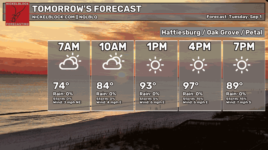
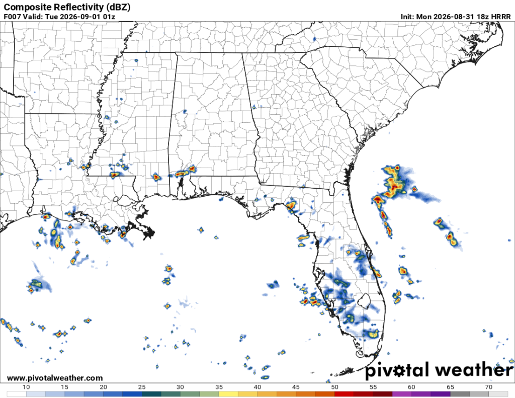
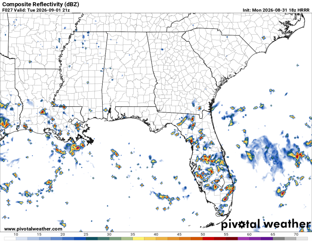
The tropical depression will move out to the west and make landfall between Louisiana and Texas. It’ll also take much of the rain with it.
Wednesday
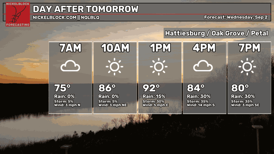
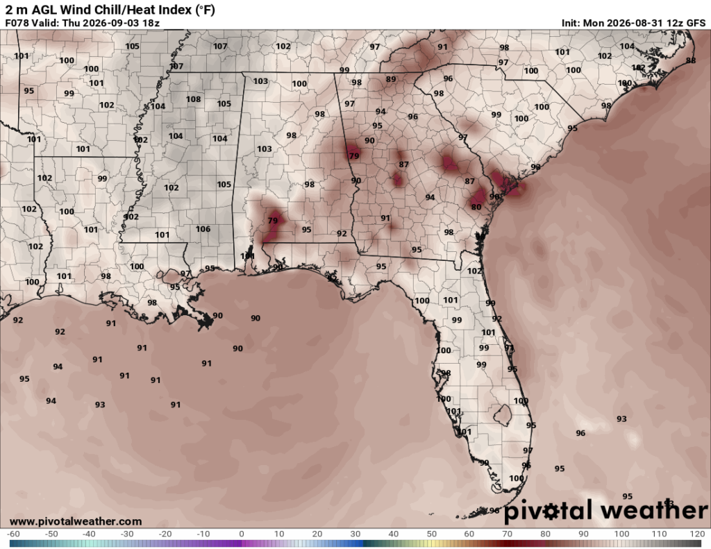
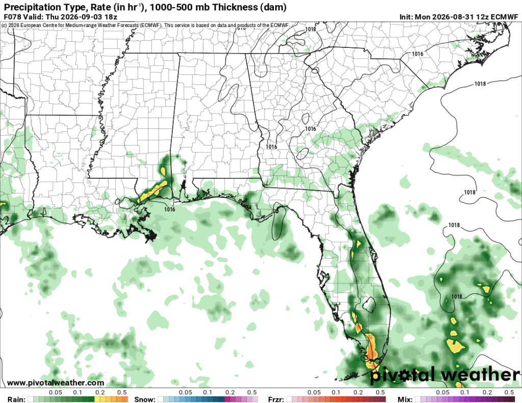
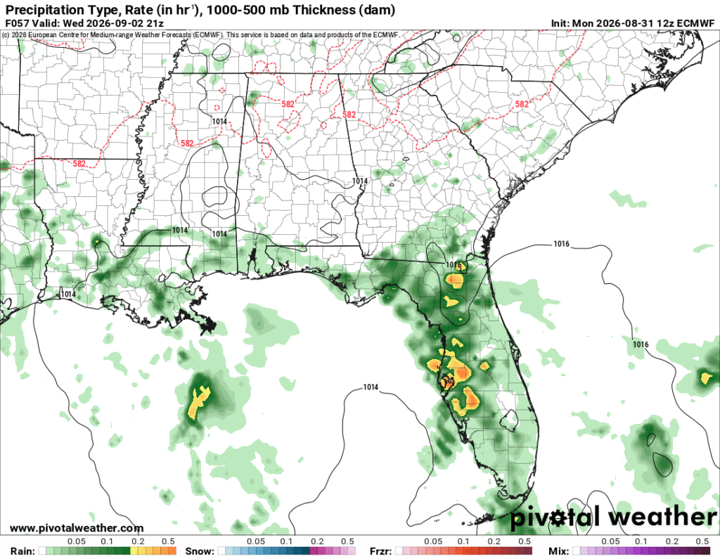
As we head towards the middle of the week, we’ll still get some of the wind force from the tropical depression to bring in more storms from the coastline. Highs will top out in the low 90s with the heat index in the low to mid 100s. A gust front of storms is possible in the afternoon, so be prepared if the bottom falls out! Otherwise, it’s going to be a hot and humid late summer day. Lows will be in the mid 70s with variable winds during the day.
Week’s End
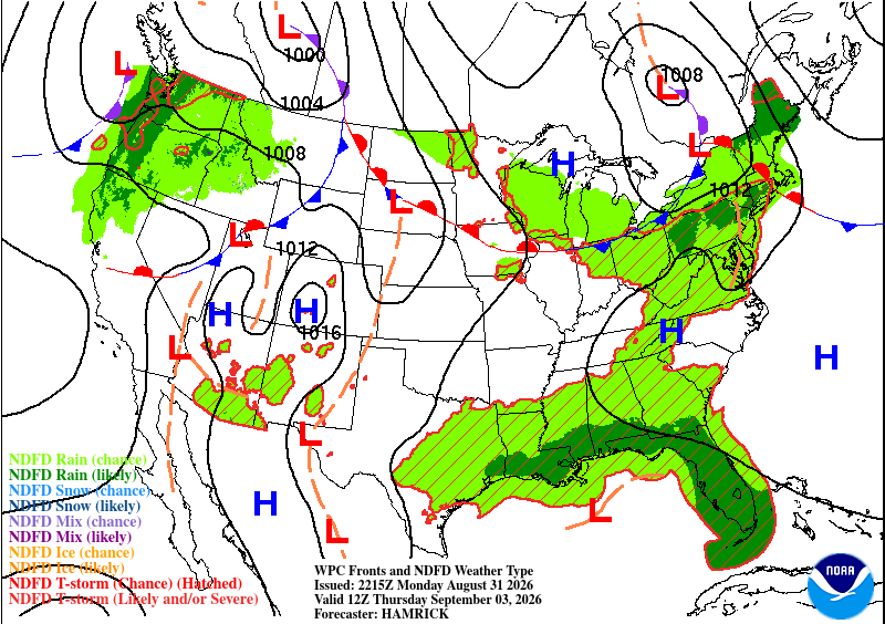
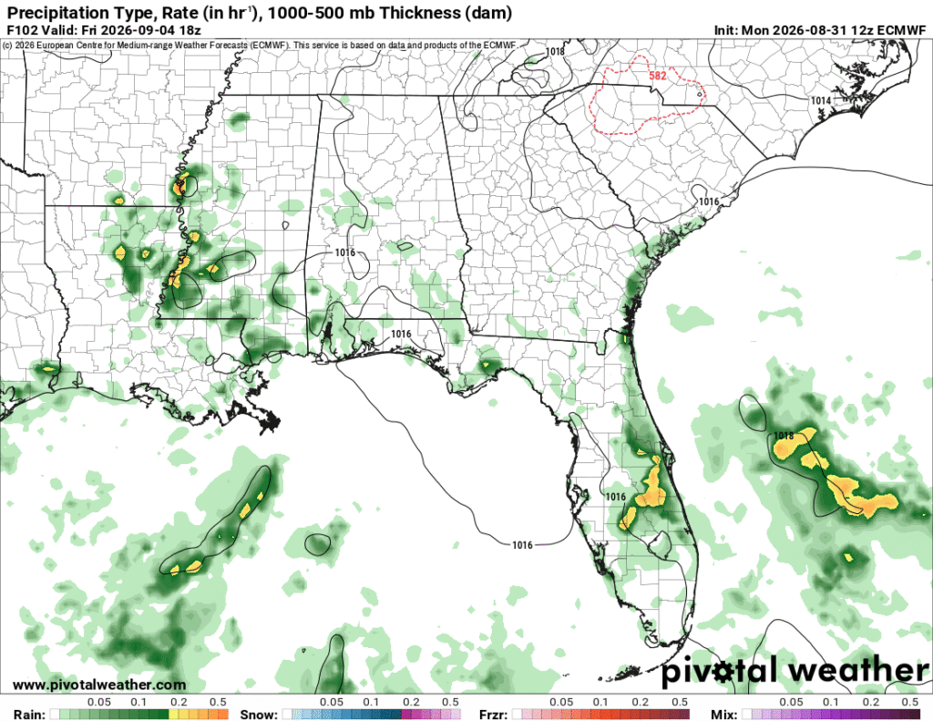
By the middle of the week, the tropical depression will be all but gone and we’ll go back to our usual heat dome setup, with a bit of Gulf moisture to drive a few showers in. The experienced temperature will reach the mid 100s during the day before the showers and thunderstorms roll in during the afternoon. Typical summer setup with another(?) possible low/dry line. However, with that mentioned front, we may have a chance of some rain in the early morning on Friday! Otherwise, it’s just going to be hot and humid, no real surprises so far, and that will continue into the weekend as well.