Howdy! Make sure to check out my video forecast below.
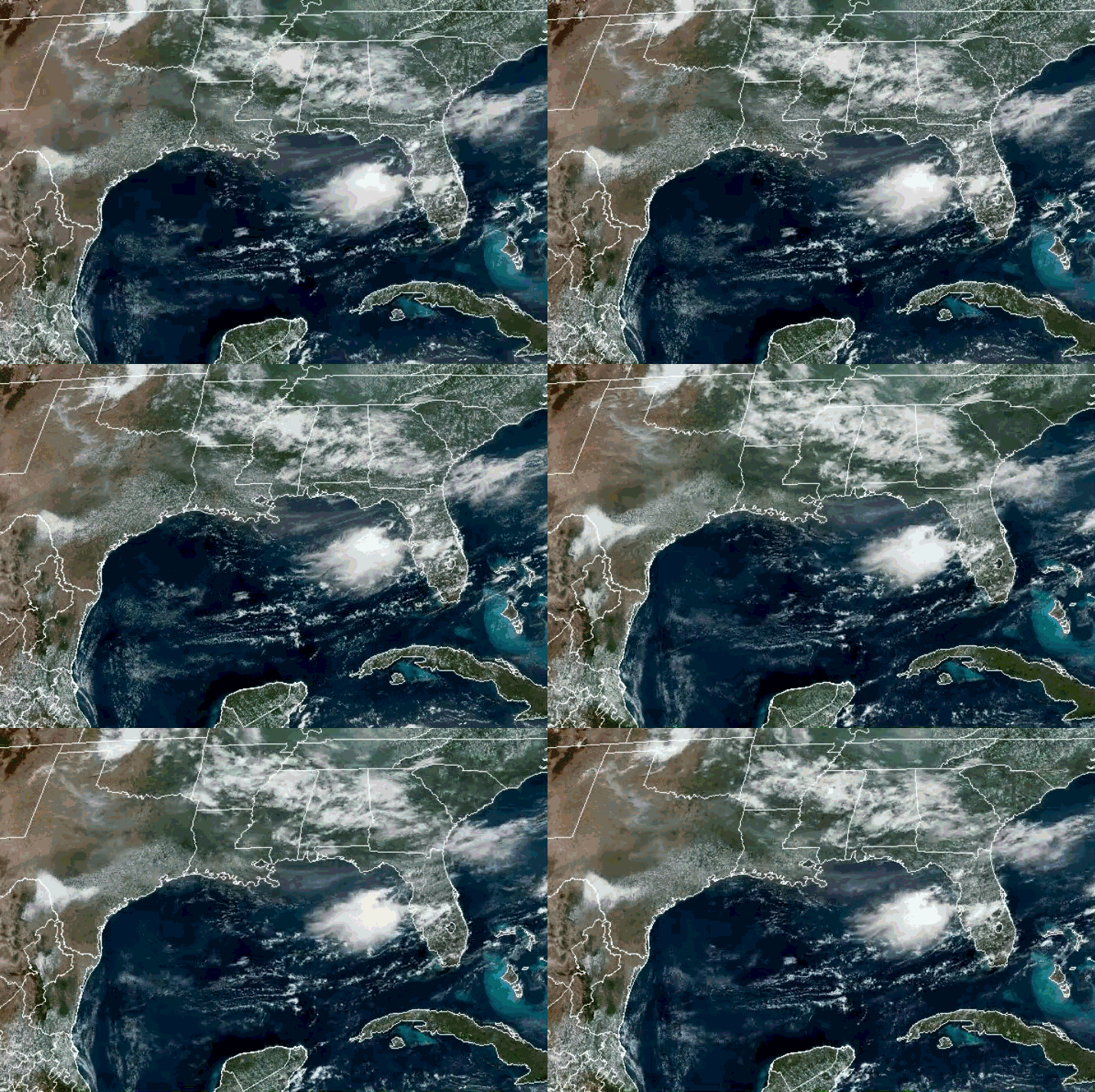
Currently, there is little to no cloud coverage for the region, but a bit of some clouds will start to come into the region. A little rain in the northern parts of the states to start the day. Multiple heat advisories and some extreme heat warnings will be in effect today.
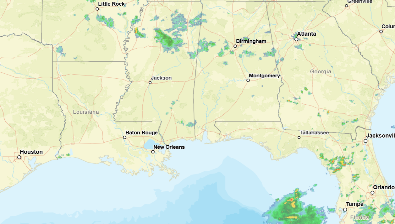
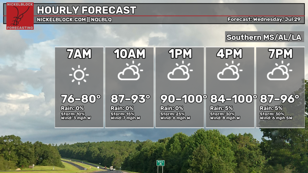
Highs today will reach up to 100 for some, others staying in the 90s. Humidity will make it feel a lot hotter than it actually is, heat index values reaching well above 100. Lows will fall in the 70s, the chance of rain increases as the day progresses. Isolated showers and thunderstorms for today.
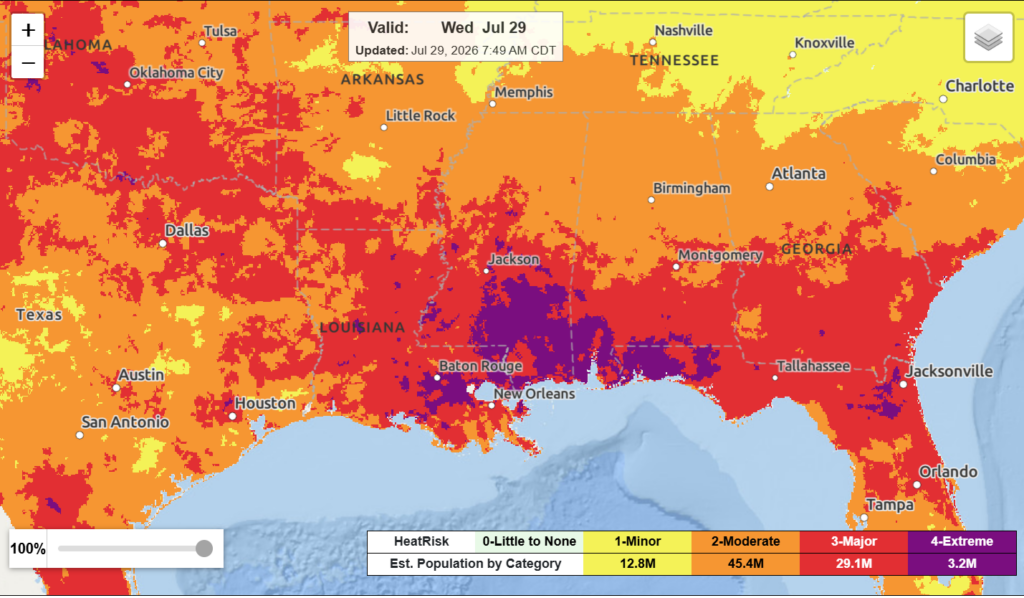
Most of the region is under the major to extreme heat risk for today. This means that you need to take all the necessary precautions when outside (like drinking plenty of water, fans, any way you can keep cool), and try to limit your time outside as well.
There is a marginal risk of excessive rainfall in the area for Alabama and Mississippi. Additionally, some parts of Alabama see marginal risk for severe weather today. A lingering frontal boundary paired with shortwaves embedded in upper-level flow will trigger lift and scattered showers and thunderstorms for the area today through the evening.
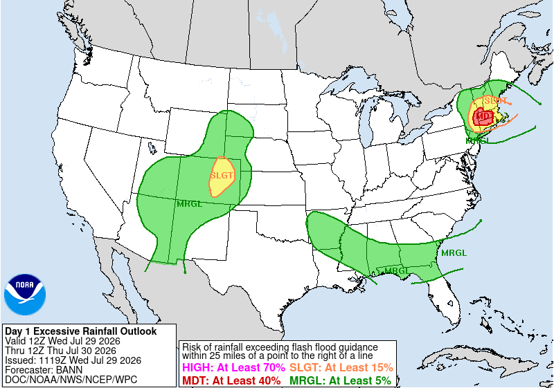
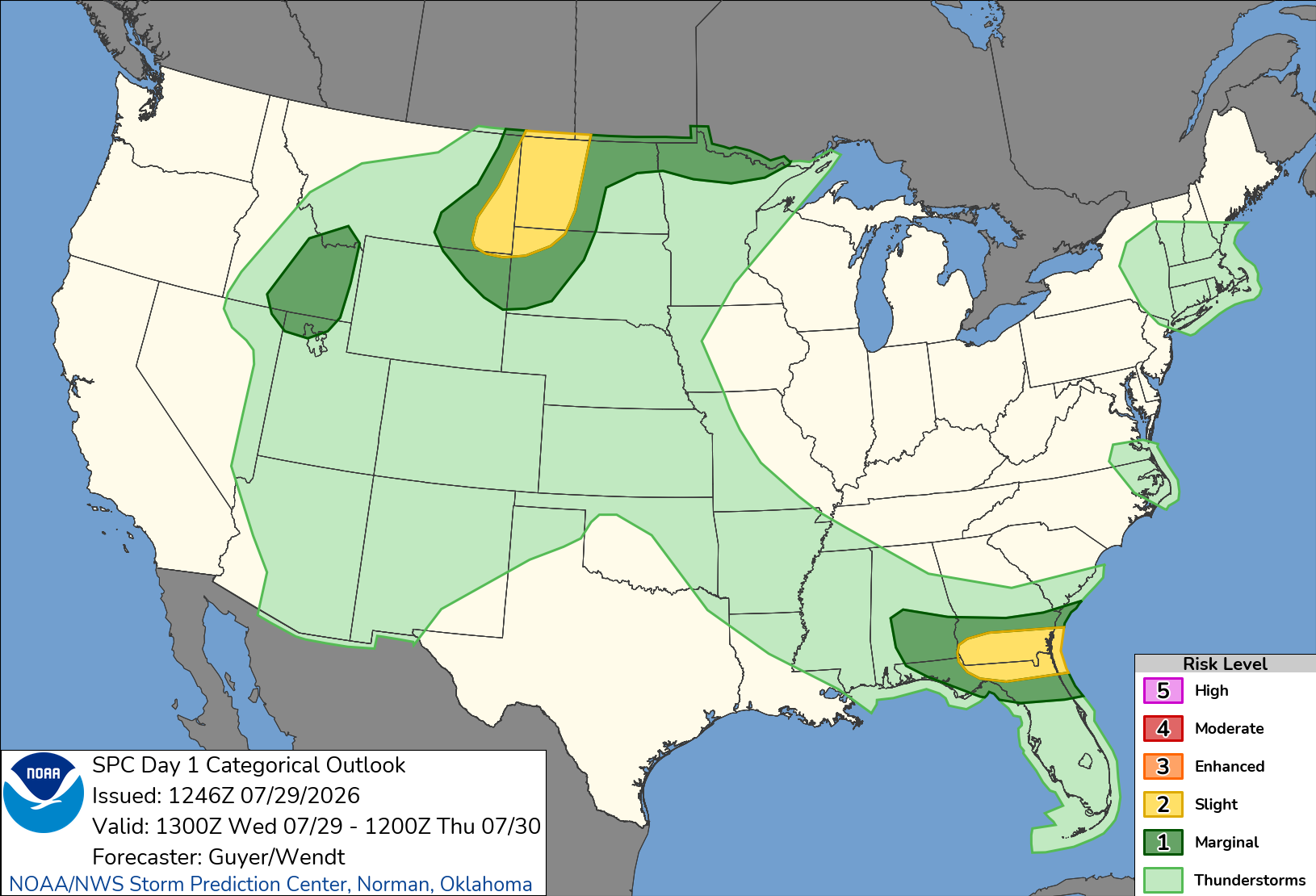
The greatest chance to see some stronger storms remains more to the east/northeast today. Stronger storms could produce locally strong wind gusts, heavy rain and lightning. Areas along the coast will experience slightly higher heat index values with a higher level of humidity, which is another concern for today.
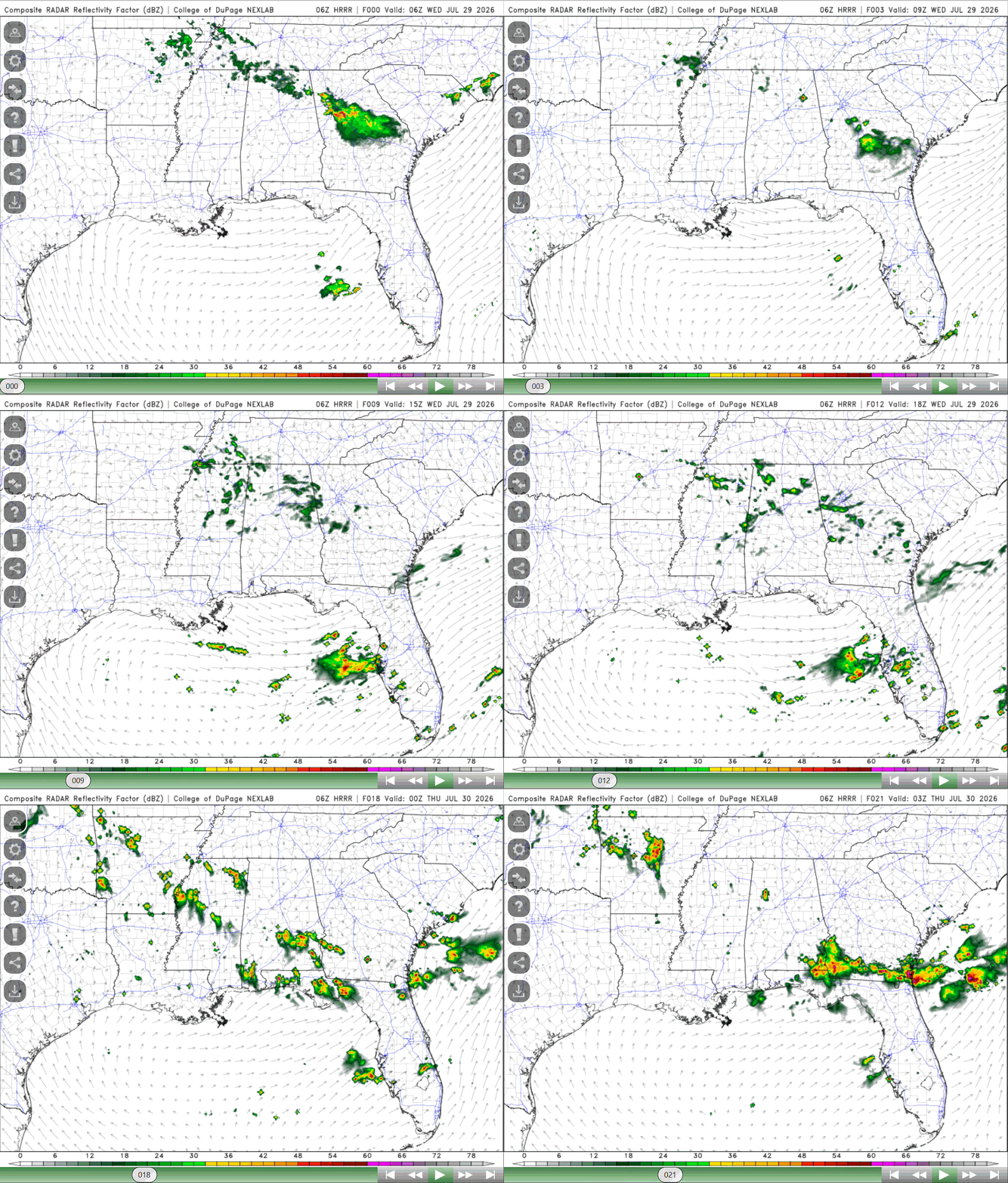
The risk for severe weather continues tomorrow for areas along the coast in Alabama. Chances of rain increase through the rest of the week into the weekend as shortwaves continue, then a trough will move southward and weaken the upper-ridge over us currently, and a cold front is anticipated to also move in by Friday/Saturday. A wetter and cooler period is in store for the rest of the week into early next week, which will be a good break from the unbearable heat.


