Looks like the rest of this week will still include some warmer afternoons. Although the front that passed over the weekend did provide some relief, we still will see highs in the mid to upper 80s for the rest of the week! Our overnight lows will be in the mid 60s and we continue to stay on the mostly dry side, still due to a lack of moisture in the lower atmosphere.
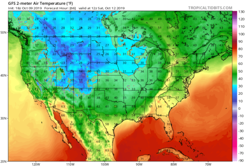
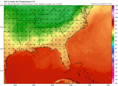
However, a cold front with a stronger temperature gradient will be making its way into the southeast this weekend! This will really make it feel like fall as temperatures will be in the mid to upper 70s and even the upper 50s for lows! Much more comfortable and relieving and it will stay pretty consistent. According to the GFS, this cooler and more Fall like trend will likely stick around for the next week as well! Fluctuations at 500 mb will increase the potential for upper level troughs to dip southeastward. This will allow cooler temperatures to stay persistent.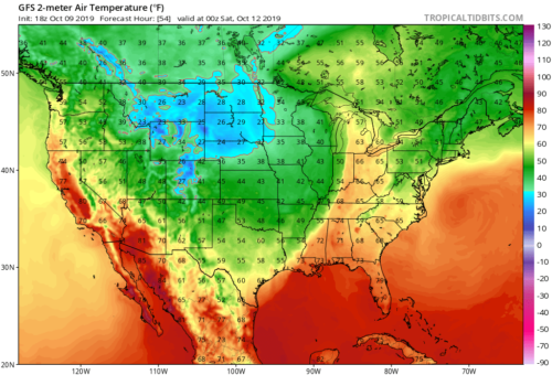
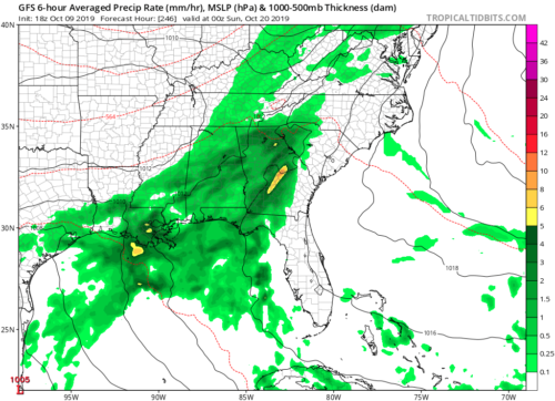
Our highest chances for rain do not return until next Saturday, when we see our next front that will have more of a moisture profile to carry with it. The days until will remain partly cloudy, and a few brief isolated afternoon showers will remain possible, but most of us stay dry till the following Saturday.