Howdy!
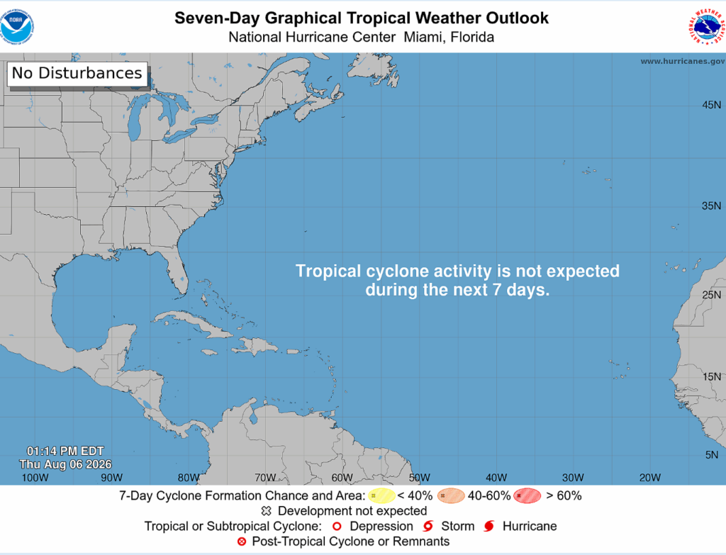
No tropical disturnaces are expected within the next 7 days!
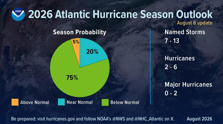
Following NOAA’s prediction on the Atlantic hurricane season earlier this year, an update has been issued on the season. A below average season is still expected for the Atlantic, but the number of named storms and hurricanes has decreased.
Now, roughly 7-13 named storms are expected, and 2-6 possible hurricanes could form. Of these hurricanes, 0-2 are expected to be major (category 3 or higher).
A more slow, below average season is expected than before. El Nino continues to strengthen, reducing the proper environmental conditions needed for hurricane development in the Atlantic. The warmer than average waters in the Pacific alter the jet streams and cause more shear in the gulf/Atlantic than there would typically be.
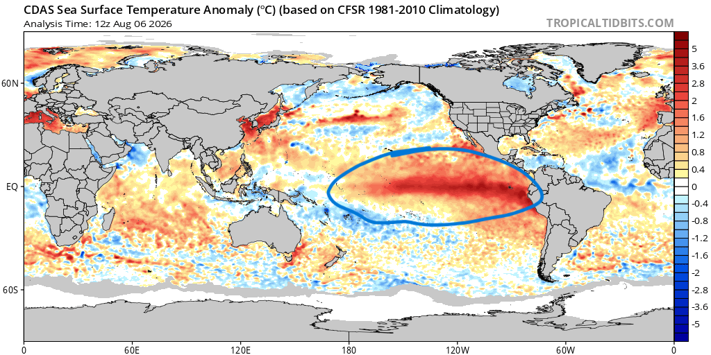
Whether or not this will be a super El Nino, tropical activity is very limited for the Atlanitc. It is expected to continue strengthening for the rest of the hurricane season and will be monitored closely.
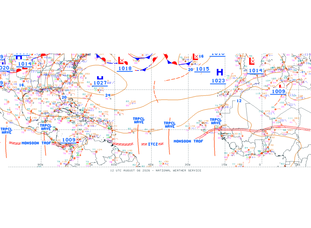
In terms of what is going on currently, there are several identified tropical waves that have a bit of convection associated with them. Nothing is to come from these, though, as there is still dry air being circulated into the flow from the Sahara, and pockets of strong wind shear are still present. Ocean temperatures are just warm enough, but not all the conditions are there.
The Saharan dust can actually be seen in this satellite loop below, the dry air being carried over the Atlantic limiting any significant development.
Tropic conditions will continue to be monitored as we get closer to the peak of hurricane season (in September). It is always a good time to put a plan in place just in case a storm does impact your area. As always, have a great rest of your day!


