Hello everyone and happy Wednesday! Looking at the coastal forecast, the main story over the next week includes diurnal or day-time like showers and thunderstorms, with the usual humidity and temperatures in the upper 80’s to near 90.
Today will feature a likely chance at afternoon showers and thunderstorms, however many models are showing a more isolated event, given the more reliance on mesoscale (smaller scale) influences to get convection started.
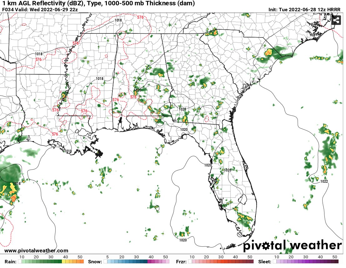
One reasoning behind this is a stationary front (circled) which will be across our region today. With winds off of the Gulf on the coastline whereas the winds are northerly away from the water, this will create a convergence boundary that will provide us with a likely chance of afternoon showers and thunderstorms.

With these more slower moving mesoscale events, the risk of flooding is always a possibility especially in poor drainage urban areas, however this would be isolated and the risk is not exponentially high at this time.
Otherwise, the day will feature more sun than clouds with temperatures reaching into the upper 80s.
Moving forward throughout the rest of the week, the low-pressure system currently in the gulf will continue to drift westward and the frontal boundary to our north will continue to lose influence on our region.
At the synoptic level, not much change is anticipated, with zonal flow (mostly west to east) remaining the dominating factor across much of the CONUS. With this zonal flow, any large scale weather influences will not impact our region for the rest of the week, this thankfully limits any severe weather, while still providing our region with usual localized precipitation chances.

With a constant daily surface wind from the south to southeast along the coast, expect an influx of moisture to return with precipitatable water values returning to over 2.0 inches across much of our area.

With values remaining elevated for much of the week, any showers and thunderstorms that fire-off during the day will result in a good amount of rain picked up, as well as cooling temperatures off, giving a release from oppressive heat! The only downside to this is the humidity will remain uncomfortable, however this is the Gulf coast so that is to be expected this time of year.
That’s pretty much the story over the majority of the rest of the work week! There is evidence being picked up by the models that an upper-level ridge could return towards the end of next week and near the Fourth of July. Like before, this would mean a return of higher temperatures and a cut off of precipitation.
However, this will have to monitored as we move throughout the rest of the week, as the outcome could change as we get closer to the weekend. Otherwise, I hope you enjoy the rest of the week with precipitation and slightly cooler temperatures!

Day to Day Forecast
Today
More sun than clouds with a 60-percent chance of afternoon showers and thunderstorms. Highs around 90. Wind northeast turning southeast at 5 to 10mph.
Tonight
Mostly cloudy with a 30-percent chance of showers and thunderstorms. Lows in the mid 70s, wind calm.
Thursday
Mostly cloud with a 70-percent chance of showers and thunderstorms. Highs in the upper 80s. Wind southeast at 5 to 10mph.
Thursday Night
Mostly cloud with a 30-percent chance of lingering showers. Lows in the mid 70s, wind south 5mph.
Friday
Mix of sun and clouds with a 60-percent chance of afternoon showers and thunderstorms. Highs near 90. Wind south at 5 to 10mph.
Friday Night
Mostly cloudy with a 30-percent chance of showers. Lows in the mid 70s. Wind calm.
Saturday
Mix of sun and clouds with a 60-percent chance of afternoon showers and thunderstorms. Highs near 90. Wind south 5 to 10 mph.
Saturday Night
Mostly cloudy with a 20-percent chance of showers. Lows in the upper 70s. Wind calm.
Sunday
Mostly sunny with a 40-percent chance of afternoon showers and thunderstorms. Highs in the lower 90s. Wind south at 5mph.
Sunday Night
Partly cloudy with a 20-percent chance of showers and thunderstorms. Lows in the mid 70s. Wind south at 5mph.
Monday
Mostly sunny with a 30-percent chance of afternoon showers and thunderstorms. Highs in the low 90s. Wind south at 5 to 10mph.
Monday Night
Mostly clear with lows in the mid 70s. Wind calm.
Tuesday
Mostly sunny with a 30-percent chance of afternoon showers and thunderstorms. Highs near 90. Wind south at 5 to 10mph.
Tuesday Night
Partly cloudy with a 30-percent chance of showers. Lows in the mid 70s. Wind calm.


