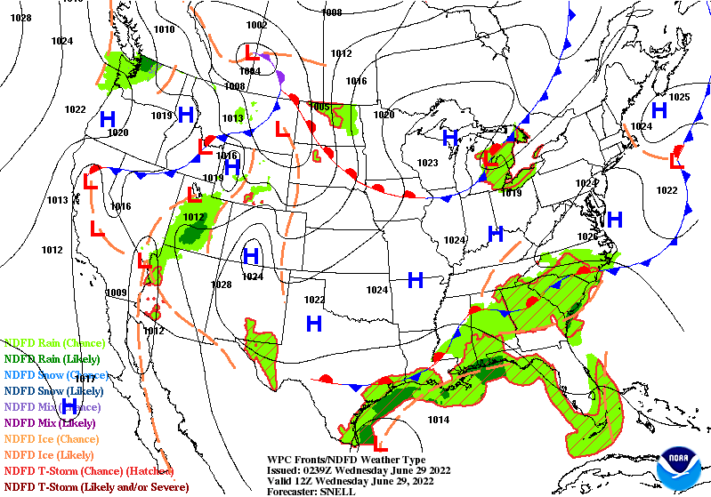
Scattered showers and thunderstorms have been a welcome relief from the heat over the past couple weeks. These rounds of precipitation are expected almost daily as a stationary front continues to sit over the area. Eventually, the front is expected to transition into a warm front and lift northwards, but the daily chances of rain will remain at least for the remainder of this week and into next week. This rain will also help to keep high temperatures at bay for the remainder of the week before they make a return next week.
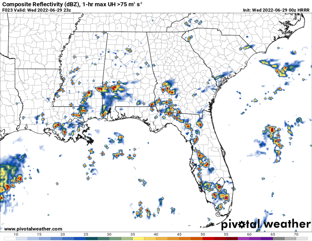
As mentioned, a stationary front is draped over the area. Rich Gulf moisture continues to stream from the south and interact with the front, creating these showers and storms. High Precipitable Water amounts in the neighborhood of 2 inches or greater means any storms that are able to form may bring heavy rainfall. As this front lifts northward, the chances for precipitation will remain widespread in the coming days.
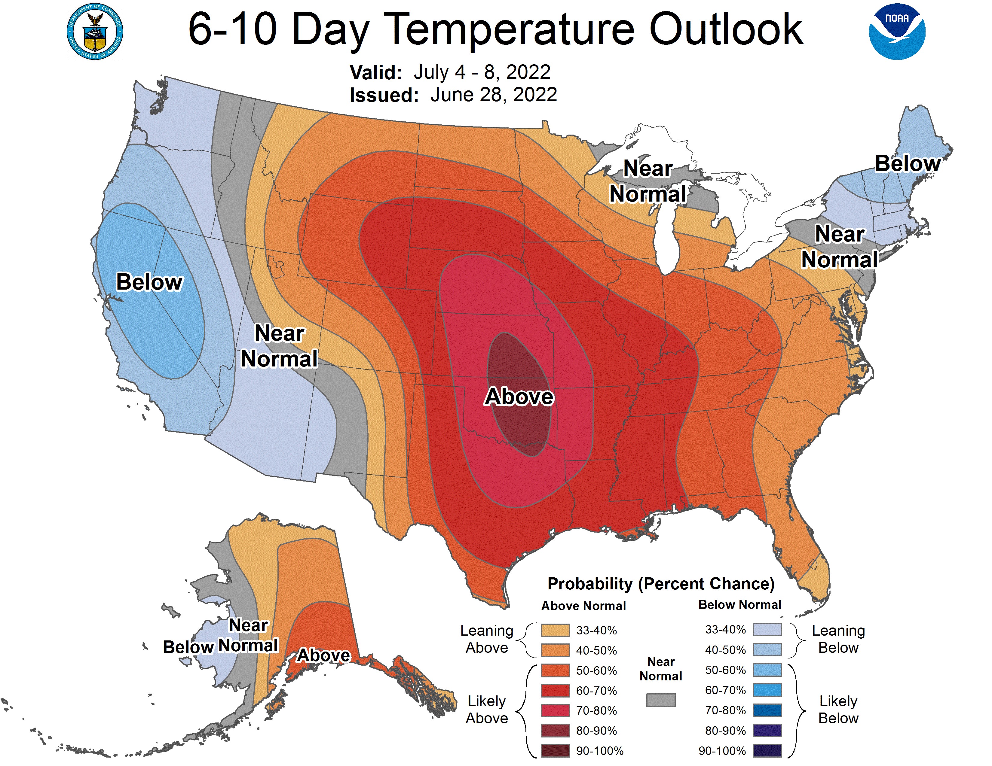
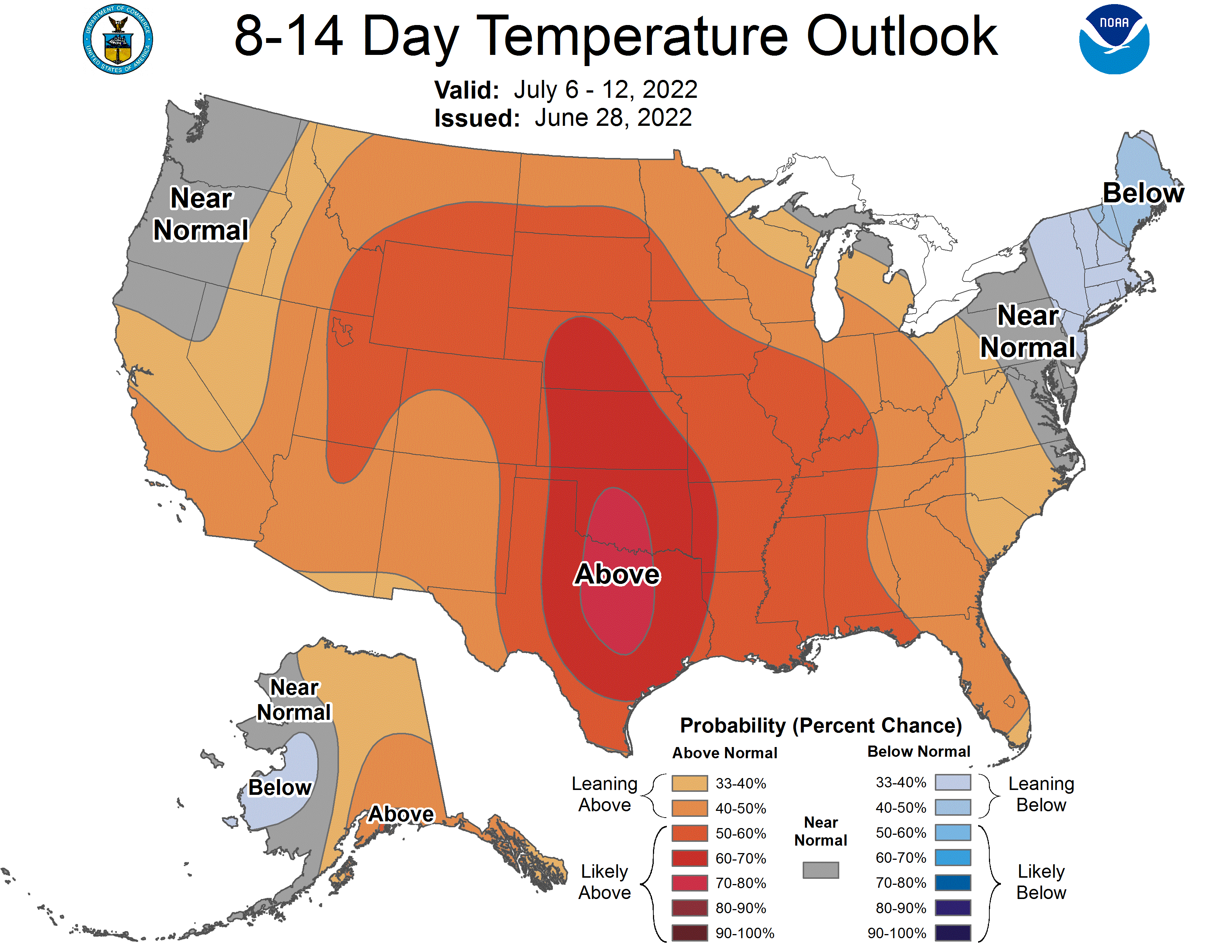
While the rain may help to cool areas that see them, the heat looks to return by early next week and really dig in across the area. Dew point temperatures in the low to mid 70s, paired with air temperatures in the low to mid 90s, will bring back the uncomfortable, muggy heat. Heat indices look to reach the upper 90s to potentially low 100s throughout next week. The heat doesn’t look to budge past next week, as warmer than average temperatures are favored going into early and mid July.
Day to Day Forecast
Wednesday
Mostly cloudy. High temperatures in the upper 80s to low 90s. Low temperatures in the low 70s. Chance of rain 60-percent.
Thursday
Partly cloudy. High temperatures in the upper 80s to low 90s. Low temperatures in the low 70s. Chance of rain 70-percent.
Friday
Partly cloudy. High temperatures in the upper 80s to low 90s. Low temperatures in the low 70s. Chance of rain 60-percent.
Saturday
Partly cloudy. High temperatures in the upper 80s to low 90s. Low temperatures in the low 70s. Chance of rain 60-percent
Sunday
Partly cloudy. High temperatures in the upper 80s to low 90s. Low temperatures in the low to mid 70s. Chance of rain 50-percent.
Independence Day
Partly cloudy. High temperatures in the upper 80s to low 90s. Low temperatures in the mid 70s. Chance of rain 50-percent.
Tuesday
Mostly sunny. High temperatures in the low to mid 90s. Low temperatures in the mid to upper 70s. Chance of rain 40-percent.


