As we head into the weekend, we see a notable threat of thunderstorms associated with a cold front moving through the area Saturday night. This is preceded by warm temperatures on Friday and Saturday, with highs in the low 90s.
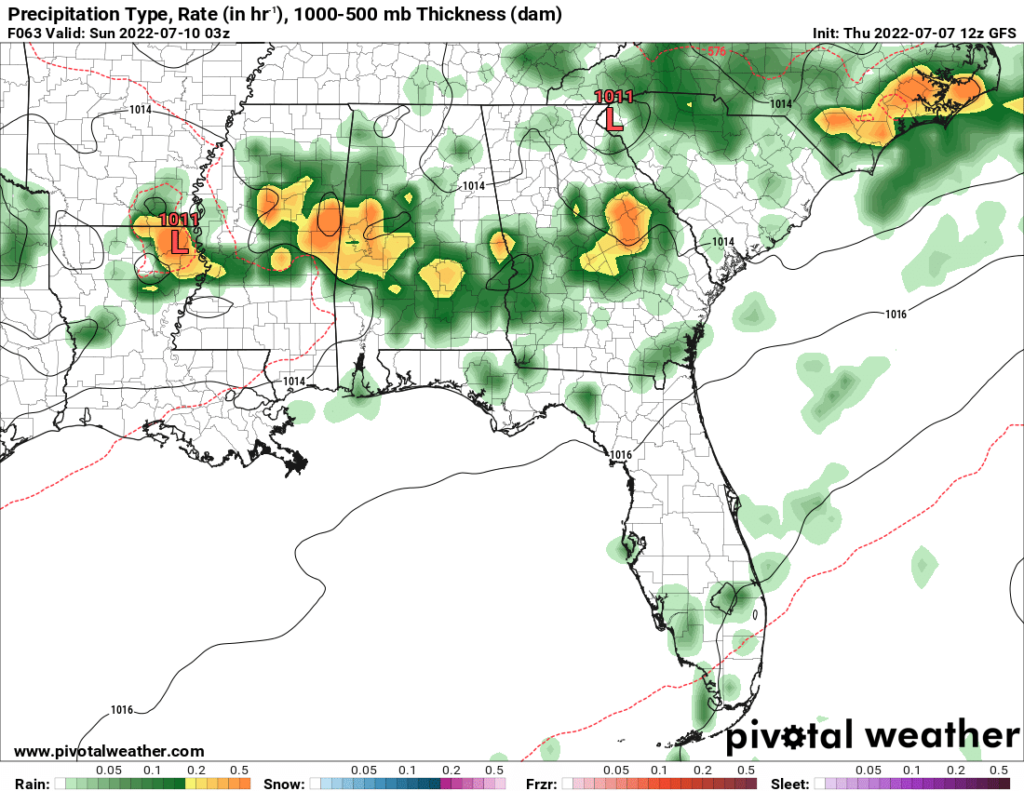
These thunderstorms should reach the coastal area late Saturday night through early Sunday morning. Additionally, the Storm Prediction Center has given the area a Marginal Risk for severe thunderstorms during this time, owing to a slightly elevated amount of wind shear. The main threat would be for isolated wind damage.
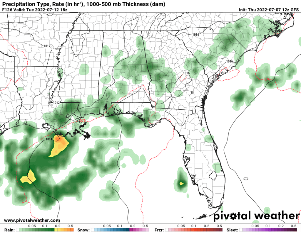
Fast forward to Tuesday, and lower temperatures and more precipitation can be expected in the area. Highs may not even make it to 85 on this day, which will be a relief to many. In fact, the upcoming week will be characterized by lower temperatures than we’ve been experiencing the past month. Thursday’s temperatures are also expected to be in the lower 80s as a trough from the Northeast CONUS digs south, which means cooler temperatures.
Day to Day Forecast
Friday
Mostly sunny. Highs around 90. Chance of rain 20 percent.
Friday Night
Mostly clear. Lows in the lower 80s. Chance of rain 10 percent.
Saturday
Mostly sunny. Highs in the lower 90s. Winds SW at around 10 mph. Chance of rain 20 percent.
Saturday Night
Cloudy with showers and thunderstorms. Slight chance for strong gusty winds. Lows around 80. Chance of rain 80 percent.
Sunday
Partly cloudy with a slight chance of thunderstorms. Highs in the upper 80s. Chance of rain 30 percent.
Sunday Night
Partly cloudy. Lows in the upper 70s. Chance of rain 20 percent.
Monday
Mostly sunny with a slight chance of thunderstorms. Highs around 90. Chance of rain 30 percent.
Monday Night
Mostly clear. Lows around 80. Chance of rain 20 percent.
Tuesday
Mostly cloudy with a chance of thunderstorms. Highs in the lower 80s. Winds S at around 10 mph. Chance of rain 60 percent.
Tuesday Night
Mostly cloudy. Lows in the upper 70s. Chance of rain 10 percent.
Wednesday
Mostly cloudy. Highs around 90. Winds SSW at around 10 mph. Chance of rain 20 percent.
Wednesday Night
Mostly cloudy. Lows in the mid 70s. Chance of rain 10 percent.
Thursday
Cloudy. Highs in the low 80s. Chance of rain 10 percent.
Thursday Night
Cloudy. Lows in the lower 70s. Chance of rain 20 percent.


