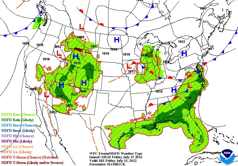
Happy Friday everyone! I hope everyone has been staying safe from the heat and dry from the rain. We still have that pesky stationary front draped across the Southeast that is helping to produce some showers and storms behind it.
For Friday here in SW Mississippi, rain chances will be lower for the next couple days. Most of the shower and storm activity will be focused along the Gulf Coast, Florida, and Georgia into the Carolinas. The stationary frontal boundary continues over the Southeast for the next few days before tapering off through the weekend.
Rain chances are lowered for the area on Friday due to drier air aloft that is being ushered towards the south behind the frontal boundary. This dry air will help limit robust convection as it prevents moist updrafts from taking shape. The best chance for any storms will be the southern counties from daytime convection from the sea-breeze or outflow boundary collisions from other storms.
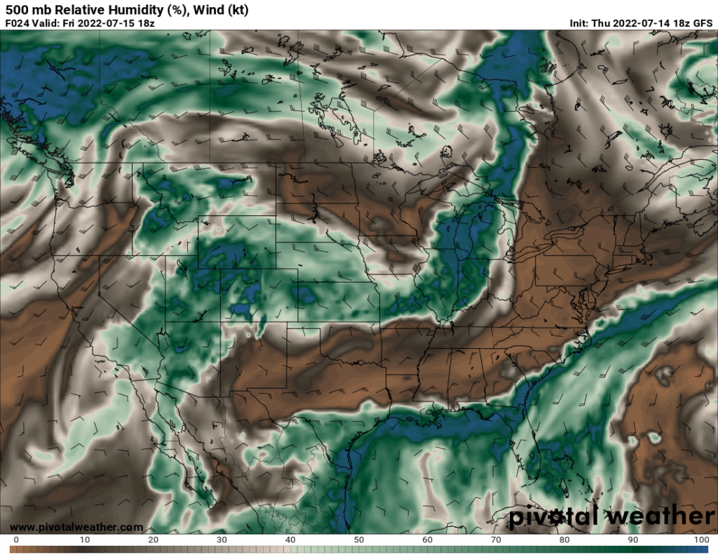
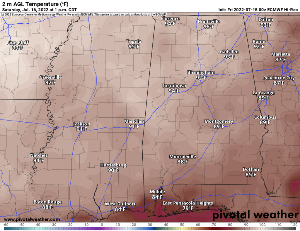
With limited rainfall, temperatures will be in the low-to-mid 90s throughout much of the area. Any storms that do pop off will provide some relief by bringing down the temperature slightly. Some of these scattered storms could be slow moving as there is weak flow aloft to help steer these storms. This week flow is due to the current upper-level pattern.
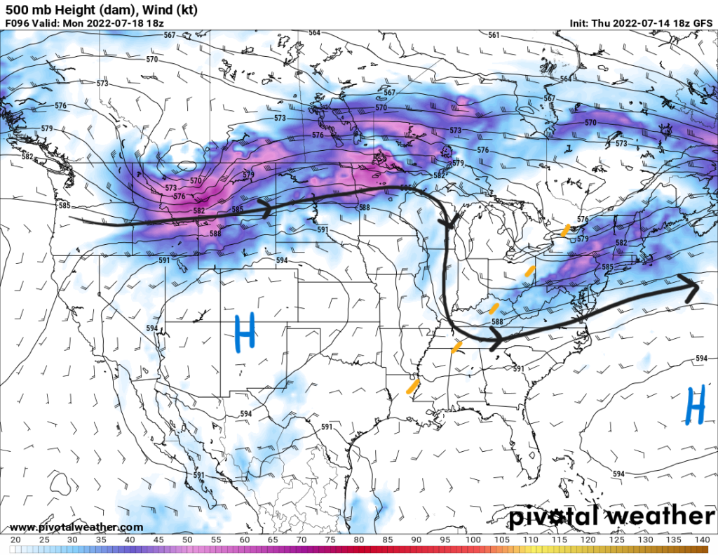
A ridge is situated over the Rockies to the west and the Bermuda high sits over the Atlantic. SW Mississippi is wedged in between these two features. The high pressure ridge will stretch towards the east as it works its way in behind the frontal boundary on Saturday.
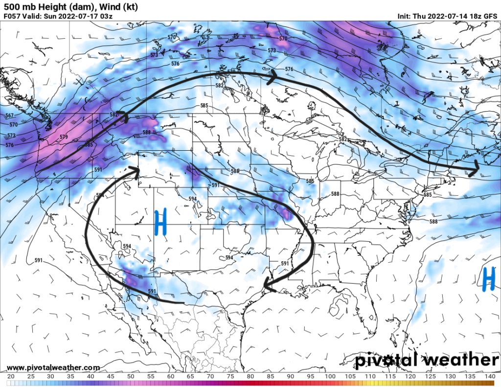
This will result in a more northerly flow aloft along with an increase in temperatures. High temperatures will begin to reach the low-to-mid 90s as cloud cover will not be a thick. Heat indices will also begin to reach 100F in some places. The heat will stick around into next week as well with highs possibly reaching 100F by next Tuesday.
Saturday and Sunday will see a small chance for scattered thunderstorms kicked off by daytime heating as some humidity returns and precipitable water values increase to greater than 1.7″. Rain chances should increase more by next Monday as a shortwave trough moves in from the Great Lakes region into the Ohio Valley. This weak troughing will be oriented northeast to southwest into Mississippi. This will help kick off some convection from diurnal heating with the increasing humidity.
Day-to-Day Forecast
Friday
Partly cloudy with a 30-percent chance of thunderstorms in the northern counties and a 50-percent chance of storms in the southern counties. Storms could develop in the late afternoon hours. Highs in the low 90s with heat index values reaching 100F. Lows in the low 70s.
Saturday
Mostly sunny with a 30-percent chance of thunderstorms starting in the afternoon hours. Highs in the low 90s with heat index values reaching 100F. Lows in the low 70s.
Sunday
Mostly sunny with a 30-percent chance of thunderstorms starting the in afternoon. Highs in the low 90s with heat index values in the upper 90s. Lows in the low 70s.
Monday
Mostly sunny with a 40-percent chance or precipitation. Highs in the low 90s and lows in the mid 70s.
Tuesday
Mostly sunny with a 20-percent chance of precipitation. Highs in the low 90s with heat indices in the upper 90s. Lows in the mid 70s.
Wednesday
Mostly sunny with a 20-percent chance of precipitation. Highs in the mid 90s with heat indices reaching 100F. Lows in the mid 70s.
Thursday
Partly cloudy with a 40-percent chance of precipitation. Highs in the upper 90s with heat indices reaching 105F. Lows in the mid-to-upper 70s.


