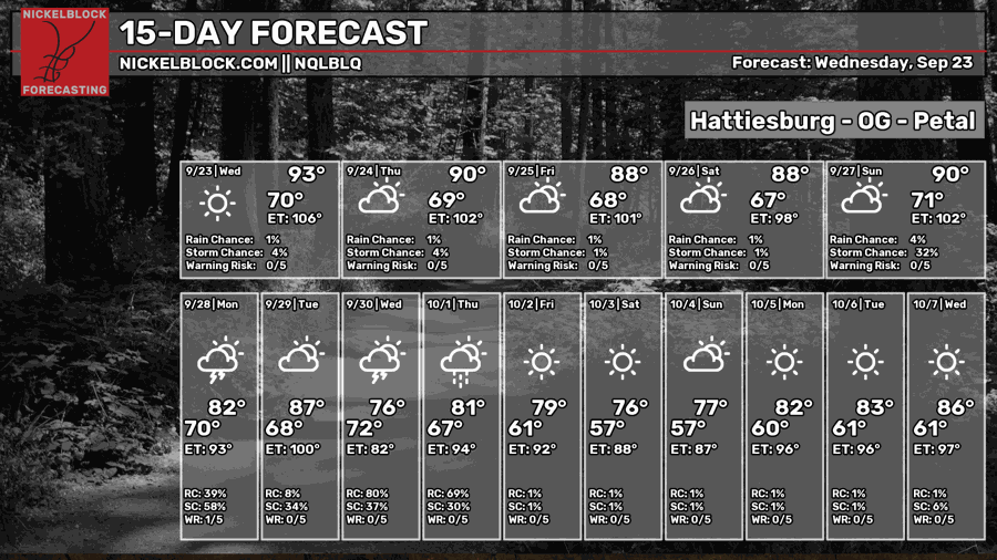
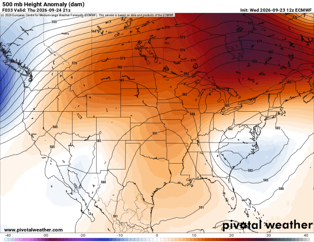
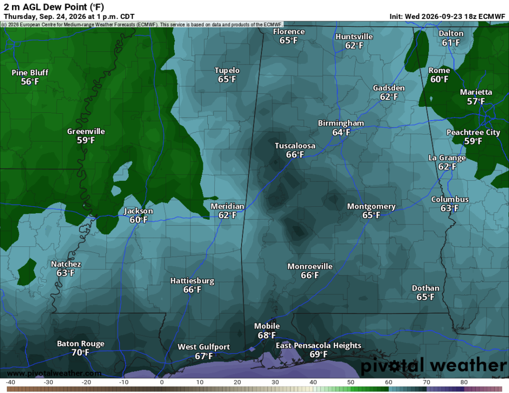
The first cold front has made its way through and things are going to feel a bit drier! As it passes, the dewpoint will drop a bit leaving us with less humid days for the weekend. Rain chances are basically nil as the front hangs out in the Gulf over the weekend keeping much of the moisture at bay.

Tonight and Tomorrow
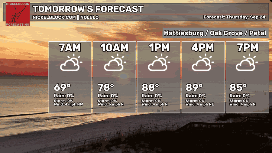
We’ll have a slightly cooler day tomorrow and high level clouds will move in during the day. We’ll start off the day around 70 degrees around sunrise and top out in the low 90s by the mid afternoon. Winds will be out of the north around 5 mph. Overnight, temperatures will fall back around the upper 60s to around 70.
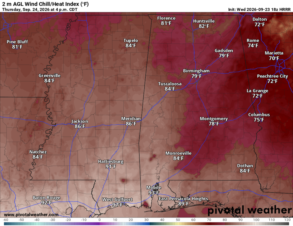

Friday
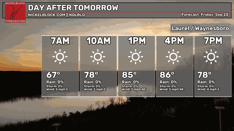
The NQLBLQ model is showing highs in the mid 80s, however this will likely apply to most of the central counties in Mississippi. Further to the south, highs are hovering around the upper 80s to low 90s. A few clouds in the sky and winds will be out of the east northeast. Overnight, the temperature will fall into the mid to upper 60s, so not a bad night to be outside for the game or a night out!
The Weekend
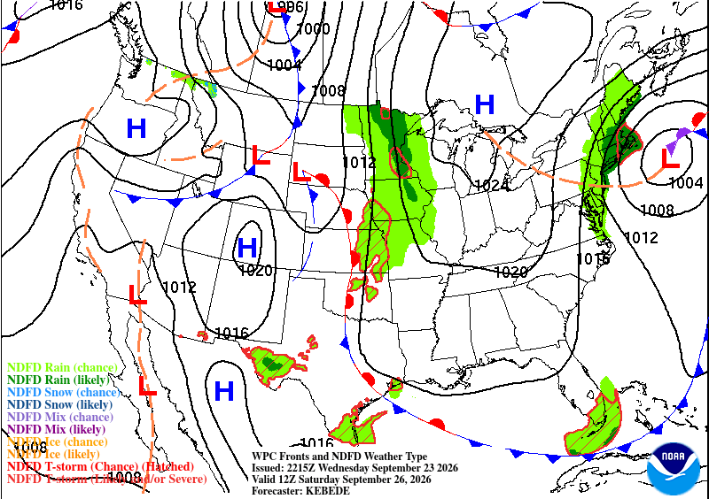
This forecast goes out to my soon-to-be wife! We’re getting married this weekend and it looks like great weather! We’ll start off in the low 70s in the morning and reach the low 90s during the afternoon. A few clouds are likely. The heat index will match the temperature which is better news compared to a more humid hot day. Overnight, the temperature will reach the mid to upper 60s.
Sunday will be a similar story with another warm day and a high in the low 90s. Dry conditions and few clouds are in the sky. The start of the week looks a bit more humid again as another cold front develops from the southwestern US and moves northeast. We’ll watch for some storms moving in by midweek.