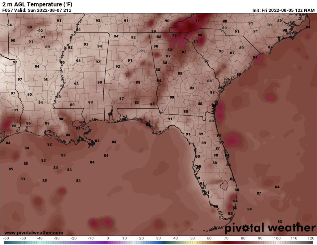
The weekend forecast is what you would expect for Mississippi this time of year: hot, humid, and chances for pop up storms. The rain chance is not extremely high, but a brief thunderstorm cannot be ruled out on Saturday or Sunday. The heat index will be in the upper 90s in some places, which is hot but not unusual for August.
The rain chances pick up Monday with the passage of a small front. A round of thunderstorms is currently forecast to pass through the area Monday afternoon or evening.
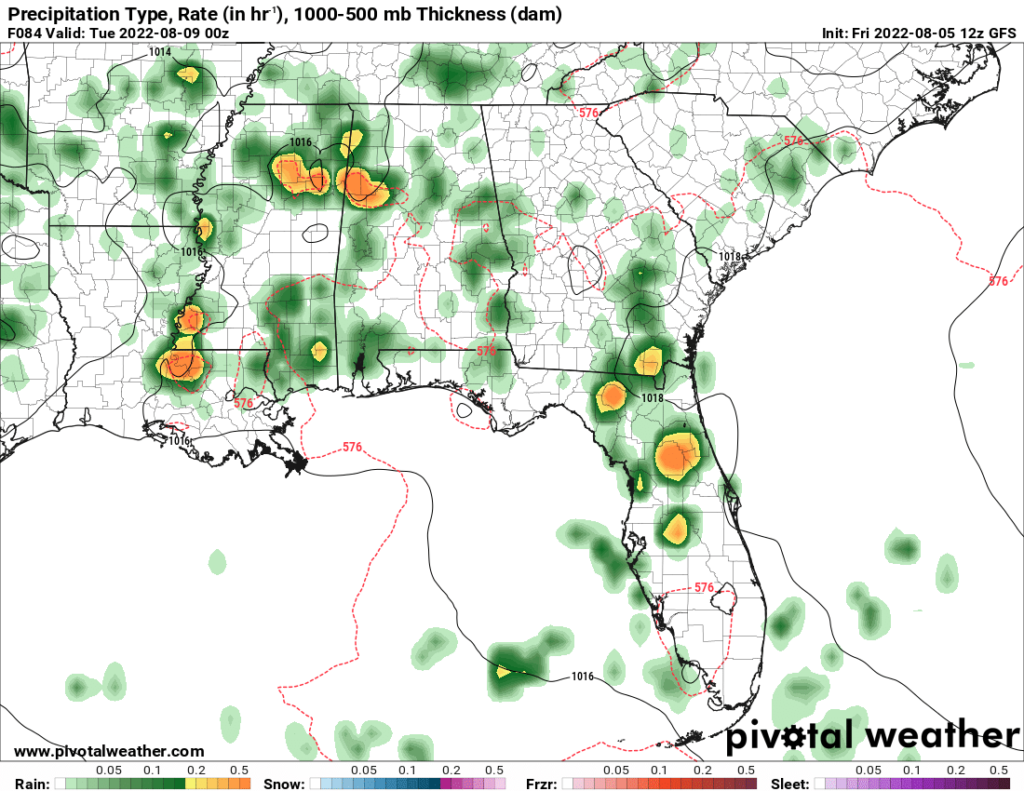
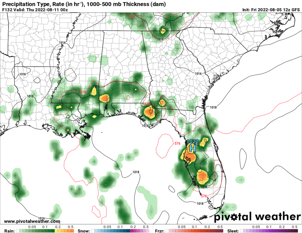
The chance for rain and thunderstorms does not end Monday. Tuesday and Wednesday may see storms as well, with an 80 percent chance of rain on Wednesday. The cooler temperatures from the front will be short lived, with only Tuesday expected to see high temperatures below 90. By Friday, the temperatures may reach the mid 90s with a heat index as high as 100.
Day to Day Forecast
Saturday
Partly cloudy with a chance for isolated thunderstorms later in the day. Highs around 90. Heat index in the upper 90s. Winds SSE at 5-10 mph. Chance of rain 30 percent.
Saturday Night
Mostly clear. Lows in the mid 70s. Chance of rain 20 percent.
Sunday
Mostly sunny with a slight chance of thunderstorms. Highs in the lower 90s. Heat index in the upper 90s. Chance of rain 30 percent.
Sunday Night
Mostly clear. Lows in the mid 70s. Chance of rain 20 percent.
Monday
Mostly cloudy with thunderstorms later in the day. Highs in the lower 90s. Heat index in the upper 90s. Chance of rain 80 percent.
Monday Night
Cloudy with a chance of thunderstorms. Lows in the lower 70s. Chance of rain 50 percent.
Tuesday
Partly cloudy with a chance of thunderstorms. Highs in the upper 80s. Chance of rain 40 percent.
Tuesday Night
Partly cloudy with a chance of thunderstorms. Lows in the lower 70s. Chance of rain 40 percent.
Wednesday
Mostly sunny early. Increasing clouds with thunderstorms by evening. Highs around 90. Chance of rain 80 percent.
Wednesday Night
Chance of thunderstorms early, then partly cloudy overnight. Lows in the lower 70s. Chance of rain 50 percent.
Thursday
Mostly cloudy with a slight chance of thunderstorms. Highs around 90. Chance of rain 30 percent.
Thursday Night
Partly cloudy. Lows in the mid 70s. Chance of rain 20 percent.
Friday
Chance of a morning shower or thunderstorm. Mostly sunny. Highs in the lower to mid 90s. Heat index around 100. Chance of rain 30 percent.
Friday Night
Partly cloudy. Lows in the upper 70s. Chance of rain 20 percent.


