Ah, yes, the infamous “death ridge” that everyone talks about this time of year. If I’m going to be completely honest, I don’t think we’re there quite yet to warrant that name. We’re only beginning our summer and what our first indicator usually is is a subtropical ridge presiding over the whole of the Southeast. It’s here! It’s hot! It’s humid!
Both the surface and the mid-levels are ridged over, which means that rain chances will be limited today. The skew-T’s show some low level clouds that could be possible, and under the right conditions could bring a pop-up thunderstorm, but they will be isolated. The downside to the ridge is that the dewpoint is also much higher which means that we’ll definitely feel the humidity with the heat today.
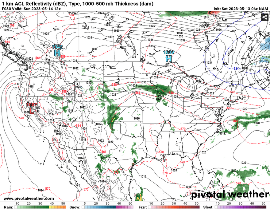
Sunday is basically the same story and we won’t get a lot of relief from the humidity despite some North winds developing on the back side of the ridge. As the ridge breaks down and starts moving east, the dewpoint will drop slightly, but not enough to make a huge difference. Expect highs to be in the low 90s in the afternoon. We won’t get much in terms of rain chances and skies will clear out by the afternoon.

[wpcode id=”41179″]
Regional Day-to-Day Forecast
Today – A 20 percent chance of showers and thunderstorms after 1pm. Partly sunny, with a high near 91. Southeast wind around 5 mph.
Tonight – A 20 percent chance of showers and thunderstorms before 8pm. Patchy fog in the early morning. Otherwise, mostly clear, with a low around 67. Southeast wind around 5 mph becoming calm in the evening.
Sunday – A 20 percent chance of showers and thunderstorms after 1pm. Patchy fog after sunrise. Otherwise, partly sunny, then gradually becoming sunny, with a high near 93. Calm wind becoming north around 5 mph in the morning.
Sunday Night – A chance of thunderstorms before 7pm. Mostly clear, with a low around 70. North wind around 5 mph becoming calm. Chance of precipitation is 30%.
Monday – A 30 percent chance of showers and thunderstorms after 1pm. Sunny, with a high near 93. Light north northwest wind becoming north 5 to 10 mph in the morning.
Monday Night – Partly cloudy, with a low around 68. North northwest wind around 5 mph becoming calm.
Tuesday – A 30 percent chance of showers and thunderstorms after 1pm. Mostly sunny, with a high near 90. Calm wind becoming north northwest around 5 mph in the morning.
Tuesday Night – Partly cloudy, with a low around 68. North northwest wind around 5 mph becoming calm in the evening.
Wednesday – A 40 percent chance of showers and thunderstorms, mainly after 1pm. Partly sunny, with a high near 89. Calm wind becoming west around 5 mph in the morning.
Wednesday Night – Partly cloudy, with a low around 67.
Thursday – A 40 percent chance of showers and thunderstorms. Mostly sunny, with a high near 89.
Thursday Night – Partly cloudy, with a low around 68.
Friday – A chance of thunderstorms. Mostly sunny, with a high near 89. Chance of precipitation is 40%.
[wpcode id=”41149″]


