Well, it only took an early hurricane season scare to bring us some rain, but it’s a-comin’! Invest 91L is moving our way, but it’s not organized and is only bringing the rain with it. It’ll be a lot of relief for us, but other areas such as southern and western Louisiana may get more rain than they bargained for in the next week.
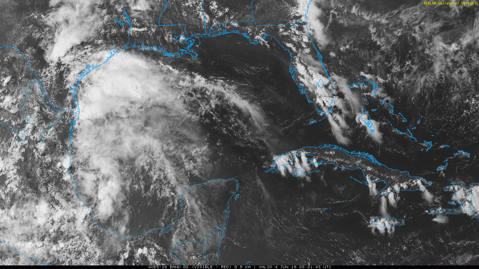
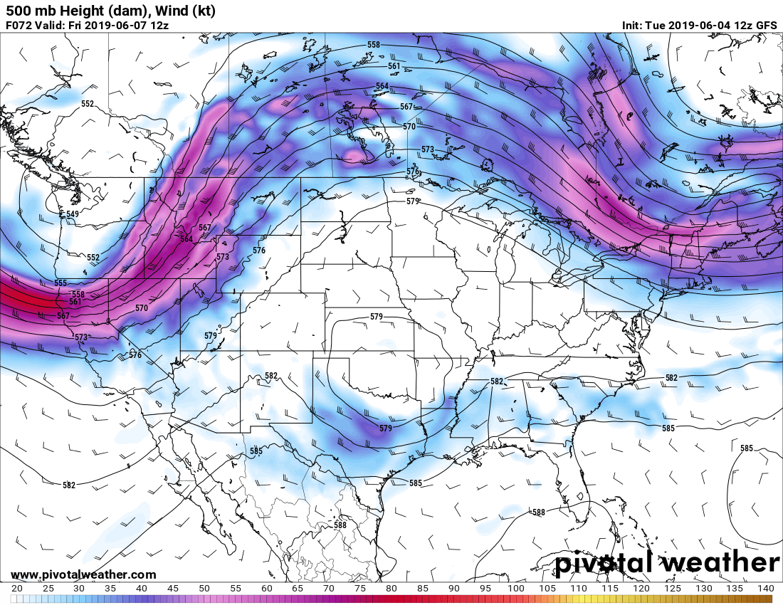
Not only that, a trough out in Western Texas is finally pushing east and going to bring in more cloud cover and slightly cooler temperatures with higher rain chances leading into the weekend. While it is moving towards us and pushing the invest away, the trough is moving slow enough for us to receive a significant amount of rain up to 4 inches. For the next 4-5 days, I would keep your umbrella handy, but the other side is that it’s still going to be warm and muggy each day, so don’t expect a major cooldown with the rain.
Wednesday starts off cloudy with a slight rain chance scattered across the Pinebelt throughout the afternoon. Winds will be shifting throughout the day as the tropical invest moves in. A high of 90 and a low of 72.
Thursday continues the rain as the invest stalls out over us. Over the period of the day, we could see up to an inch of rain before the day is through especially during the afternoon and evening hours. High of 86 and a low of 73. Winds are from the southeast at 5 mph.
Friday brings in another chance for heavy rain scattered across the area with an inch of rain possible. The high will be 87 and the low will be 74 with winds southwest at 5 mph.
Saturday we’ll see scattered rain showers throughout the morning and a better chance of rain in the late afternoon with another inch possible depending on where the storms organize the best. A high of 88 and a low of 72 with winds southwest at 5-10 mph.
Sunday also has a higher chance of rain in the late afternoon and even overnight heating with an inch possible of rain. High of 87 and a low of 73 with southwest winds at 5-10 mph.
Monday is when the front finally moves out and we go back to our normal summertime heat and misery. Some clouds will remain from the front, but it’s not enough to keep the hot, muggy summer away. High of 93 and a low of 72. Winds northwest at 5-10 mph.
Tuesday it’s back to normal with only a few clouds in the sky and nothing short of heat. A high of 94 and a low of 71 with winds from the northwest at 5 mph.


