The rain will pick up later this afternoon and be on-and-off (but likely mostly on) as we move through most of Thursday before easing back Friday before sunrise.
During this round of rain, there’s also a chance for some heavy rainfall, but this should mostly stay over the Gulf and marsh areas of southeastern Louisiana. A strong push of Gulf moisture with the warm front will rapidly move inland later tonight, and this is when we could see heavy rain. Although the rain won’t hang out over the same areas for long, a few areas could get a quick 2-3 inches, which could cause flooding in low-lying or poor drainage areas.

The track of the upper low along the coast could increase the threat for flash flooding in the southeast, but we’re not entirely sure yet. The severe threat remains low, as there’s a lack of instability and forcing. Although there is a chance for isolated severe storms in eastern Mississippi, with the main threat being damaging wind gusts.
Friday should be dry, with highs in the upper 70s to low 80s. However, on Saturday, a trough tracking across the High Plains into the Midwest will swing across the Middle and Lower Mississippi Valley region, bringing another round of precipitation. There’s a potential for severe weather, but it looks conditional and may be pretty spotty.
TODAY’S MAPS
Here is a look at the maps for this afternoon:
In-house model data
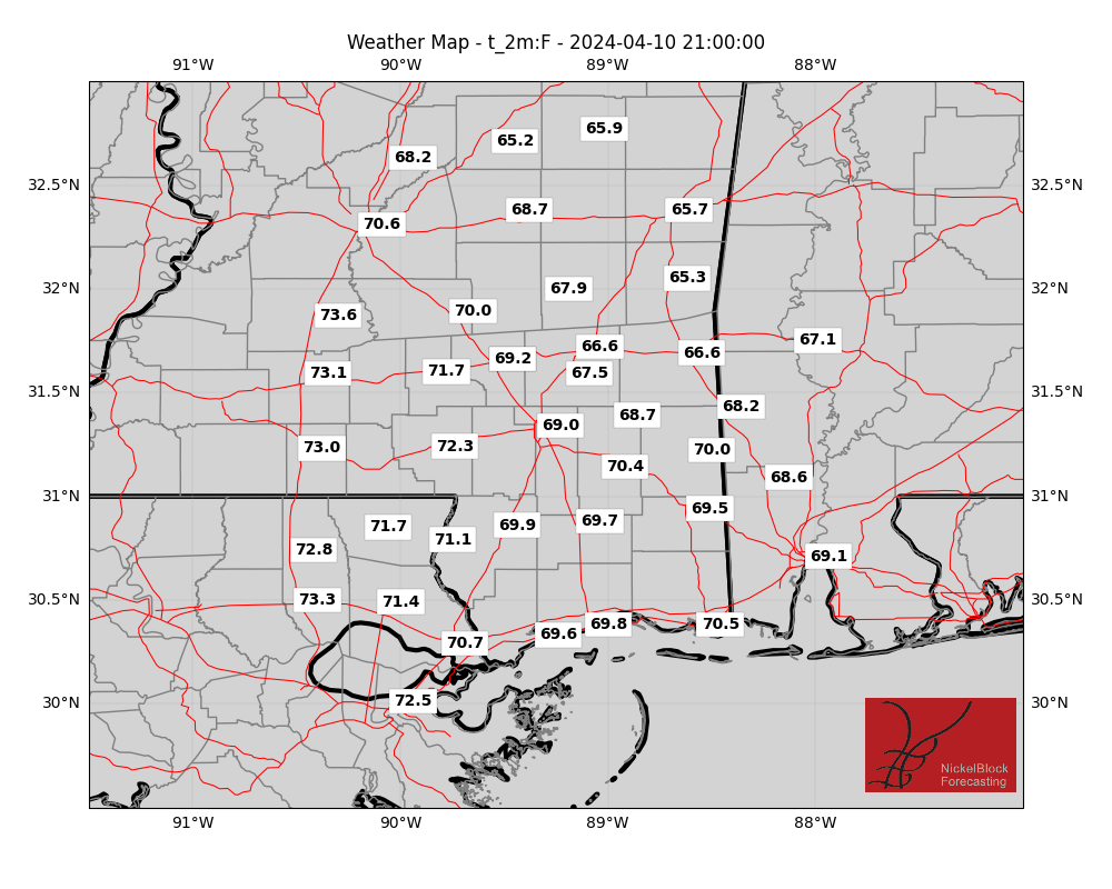
I’m continuing to work on the presentation of these maps and will hopefully soon have a more robust viewer available for you guys!
AG FORECAST
Here is a look at the Ag Forecast for today:

For a full-size image, CLICK HERE
REGIONAL DAY TO DAY FORECAST
Today: Mostly cloudy. A chance of showers and thunderstorms this afternoon. Highs in the mid 70s. East winds 10 to 15 mph. Chance of rain 50 percent.
Tonight: Showers and thunderstorms likely. Lows in the upper 50s. Northeast winds 10 to 15 mph with gusts up to 25 mph. Chance of rain 80 percent.
Thursday: A chance of showers and thunderstorms in the morning, then showers and thunderstorms likely in the afternoon. Highs in the lower 70s. Northeast winds around 15 mph, becoming southwest in the afternoon. Chance of rain 90 percent.
Thursday Night: Mostly cloudy. Lows in the mid 50s. Southwest winds 5 to 10 mph.
Friday: Mostly sunny. Highs in the lower 80s. West winds 5 to 10 mph.
Friday Night: Partly cloudy. Lows in the lower 60s.
Saturday: Partly sunny with a slight chance of thunderstorms. A slight chance of showers in the morning, then a chance of showers in the afternoon. Highs in the lower 80s. Chance of rain 40 percent.
Saturday Night: Mostly cloudy with a slight chance of thunderstorms. A chance of showers. Lows around 60. Chance of rain 40 percent.
Sunday: Mostly sunny. A slight chance of showers in the morning. Highs in the mid 70s. Chance of rain 20 percent.
Sunday Night: Mostly clear. Cooler with lows around 50.
Monday: Sunny. Highs around 80.
Monday Night: Clear. Lows in the mid 50s.
Tuesday: Sunny. Highs in the mid 80s.


