You’ll get one or the other. Maybe both.
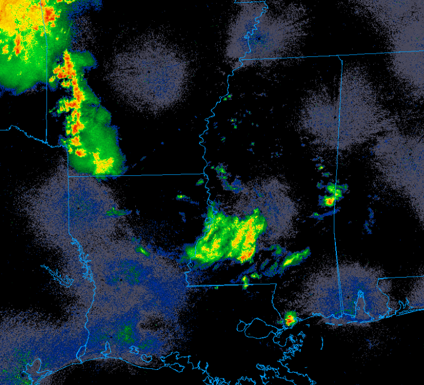
A decaying cluster of thunderstorms is noted over Mississippi. These storms are currently very weak but may strengthen over the next couple hours as the encounter stronger instability from daytime heating.
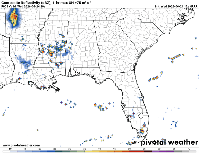
If this does occur, these storms may be capable of damaging winds up to 60 mph along with heavy rain and frequent lightning. The exact way this convection evolves is very uncertain, however.
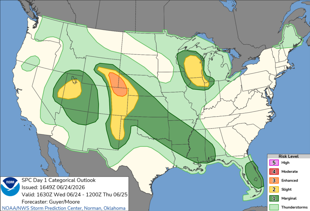
The Storm Prediction Center has outlined parts of our area in a level one out of five, marginal risk. This means that severe weather is possible but is unlikely to be very significant or widespread.
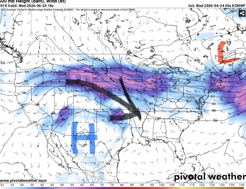
These storms are being driven by shortwaves rotating along the periphery of the ridge. For areas that are not impacted by storms, expect another day of hot and humid conditions.
Heat indexes may exceed 100 given highs in the low 90s and dewpoints in the 70s. Overall, a fairly typical summer day. Tomorrow will be very similar but with a slightly lower chance of storms.
One other thing, make sure to enjoy any rain you get over the next two days. After that, it’s gonna be even hotter and dryer.


