It’s finally time we start seeing some X’s on the map. The Atlantic has apparently woken up this week with two tropical disturbances forming over the past few days.
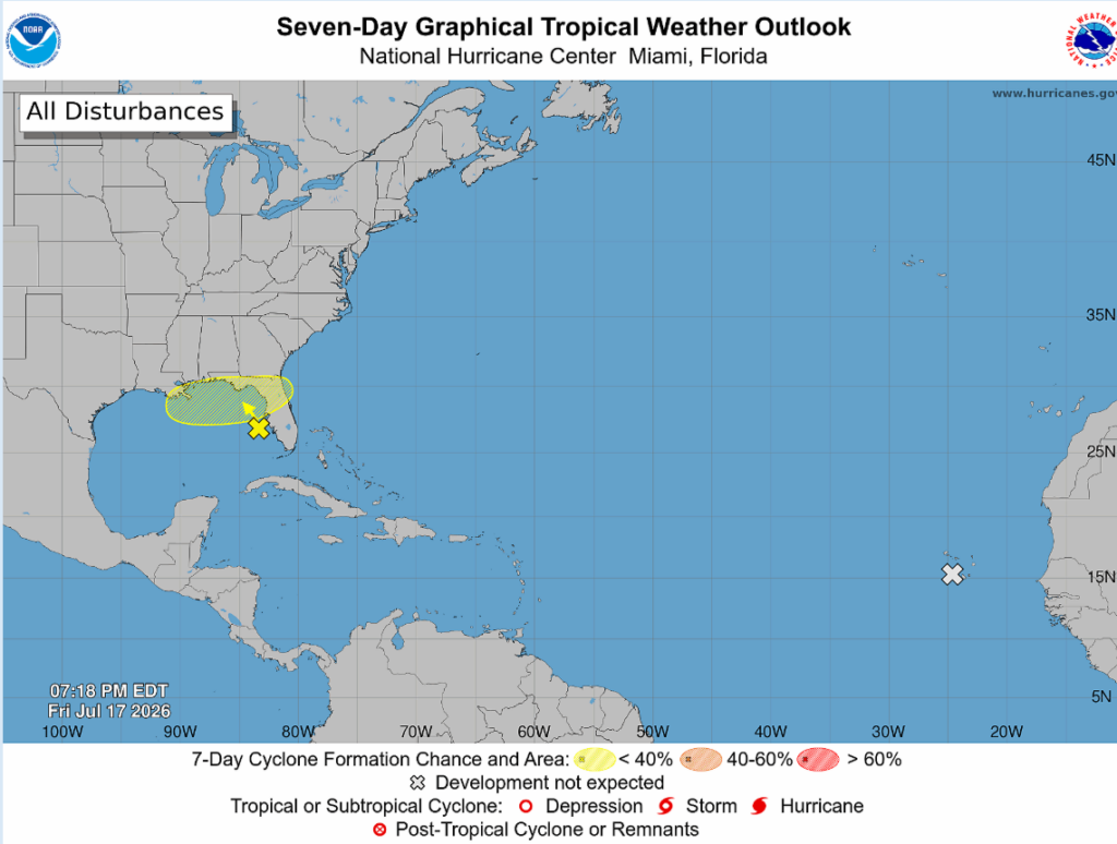
I think by now, almost everyone has heard about the “thing” spinning around in the Gulf. This system is associated with an upper-level low and a surface trough, bringing showers and thunderstorms to the Gulf Coast region. Development is not too favorable, 10% in the next 48 hours and 30% through the next 7 days, yet this system will continue to bring heavy thunderstorms to surrounding areas.
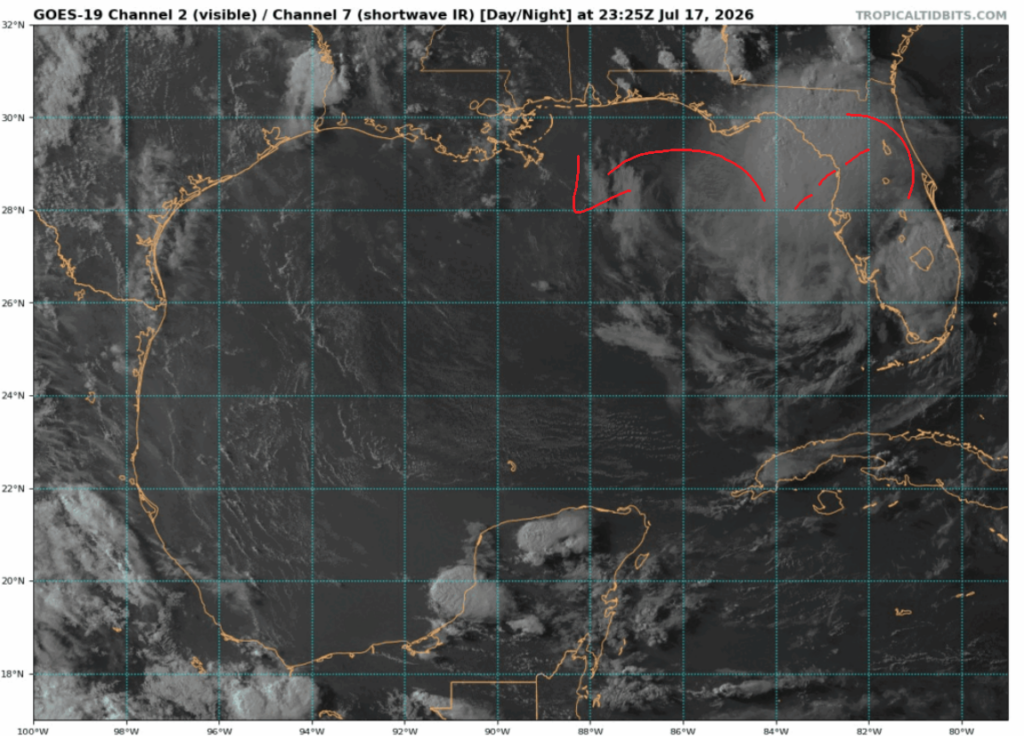
In regard to this system’s possible development, low pressure across the Northeast Gulf will remain almost stationary throughout the next few days. Some development is possible as this storm shifts northward and continues to bring rounds of heavy rainfall to the Florida Gulf Coast over the next few days. The future impact of this storm depends on whether it moves East, where the low will weaken over Florida, or westward, where there is a possibility of a homegrown storm (a storm that forms in the Gulf) developing over the warm Gulf waters.
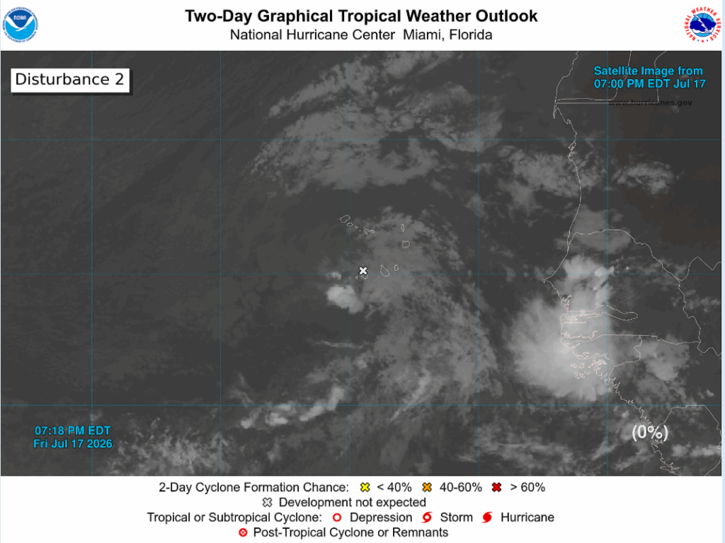
As for the other little X way out in the Atlantic, nothing major is expected to develop from the low pressure/tropical wave combo. This storm is located near the western Cabo Verde Islands and is moving northwest at 10 to 15 mph. The chance for development of this system remains at nearly 0%, with no threat to the continental US, but the Cabo Verde Islands can expect rain and gusty winds tonight.


