Moving into August in the next few days, it’s no surprise we’re going to hit the highest of highs for the year next week. Unfortunately, there’s going to be little relief for the next several days with spotty rain chances every afternoon.

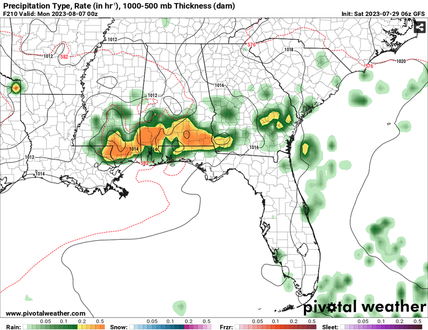
So, how’s the weather up there? Well, a big ol’ bubble is pressing down not only over us, but over most of the southern US! From California to Georgia, we’re all under the ridge and it’s slowly moving east! A piece of good news is that near the end of the week, the ridge will break down with a long cold front moving through the eastern US over the weekend.

The Weekend
For Saturday, temperatures will reach the upper 90s to low 100s by the mid-afternoon. A few isolated showers will arrive from the north and will move fairly slowly towards the coast. Dewpoints are low so most of these storms will be relegated to the right environment. Sunday will be a very similar story with a few isolated storms firing off during the evening and temperatures reaching the low 100s and lows dipping to the mid 70s to low 80s.
Next Week
Going back to the little relief point, most of the rain arriving during the week will be closer to sunset, so the heat will be present through most of the day. Temperatures will reach the upper 90s to low 100s especially closer to the western end of southern Mississippi. Heat indices will reach the upper 100s to low 110s.
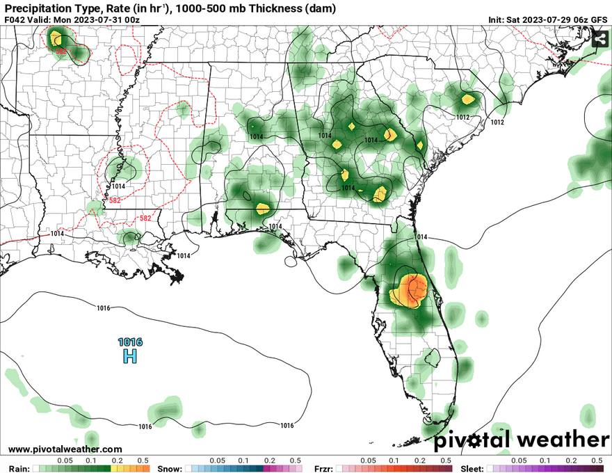
A series of shortwaves will move through during the early part of the week. Monday and Tuesday will see some shots for rain especially to the eastern part of Mississippi and Alabama. Wednesday will be a bit more spotty, however the breakdown of the ridge on Thursday will give us a better shot for evening storms with some sea breeze influence.
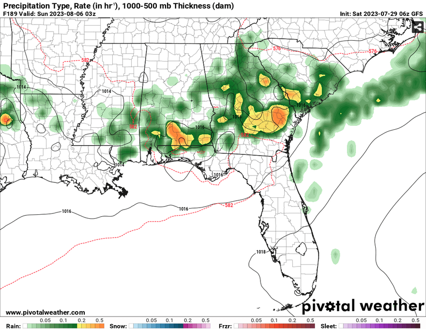
Closer to the weekend, the aforementioned cold front will move towards our neck of the woods with rain chances increasing as the high squeezing out some moisture. Temperatures will still be in the 90s and the rain will likely stay towards the evening. Make sure to keep water and electrolytes on you at all times during the week as it’s going to be a complete scorcher all week!
[wpcode id=”41179″]
Regional Day-to-Day Forecast
Today – A 20 percent chance of showers and thunderstorms in the afternoon and evening. Sunny, with a high near 96. Heat index values as high as 105. Calm wind becoming northwest around 5 mph in the afternoon.
Tonight – A 20 percent chance of showers and thunderstorms before sunset. Mostly clear, with a low around 76. South southwest wind around 5 mph becoming calm.
Sunday – A 20 percent chance of showers and thunderstorms in the afternoon. Sunny and hot, with a high near 99. Heat index values as high as 109. Calm wind becoming northwest around 5 mph in the afternoon.
Sunday Night – Partly cloudy, with a low around 77. West wind around 5 mph becoming calm.
Monday – A 20 percent chance of showers and thunderstorms after 1pm. Sunny and hot, with a high near 99. Calm wind becoming north around 5 mph in the morning.
Monday Night – Mostly clear, with a low around 76. Northwest wind around 5 mph becoming calm.
Tuesday – A 20 percent chance of showers and thunderstorms in the afternoon. Sunny and hot, with a high near 98. Calm wind becoming north around 5 mph in the afternoon.
Tuesday Night – Partly cloudy, with a low around 75. Northeast wind around 5 mph becoming calm in the evening.
Wednesday – A 30 percent chance of showers and thunderstorms in the afternoon. Sunny and hot, with a high near 99. Calm wind becoming north northeast around 5 mph in the afternoon.
Wednesday Night – Partly cloudy, with a low around 77.
Thursday – A 20 percent chance of showers and thunderstorms. Sunny and hot, with a high near 98.
Thursday Night – Mostly clear, with a low around 76.
Friday – A 20 percent chance of showers and thunderstorms. Sunny and hot, with a high near 98.
[wpcode id=”41149″]


