El Nino is working it’s magic.
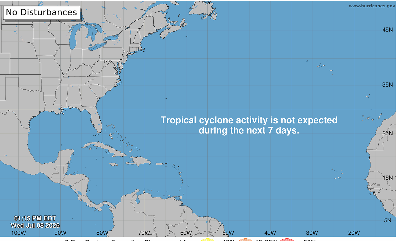
Yup. There’s still nothing developing out there. This looks to continue for the foreseeable future.
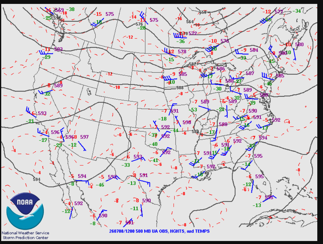
The upper air analysis from this morning shows a large ridge over the desert Southwest with a weak low over the Ohio valley. To the south of this low, the subtropical jet is attempting to work its way along the Gulf. This low will gradually move out of the region as the ridge builds back in towards the east.
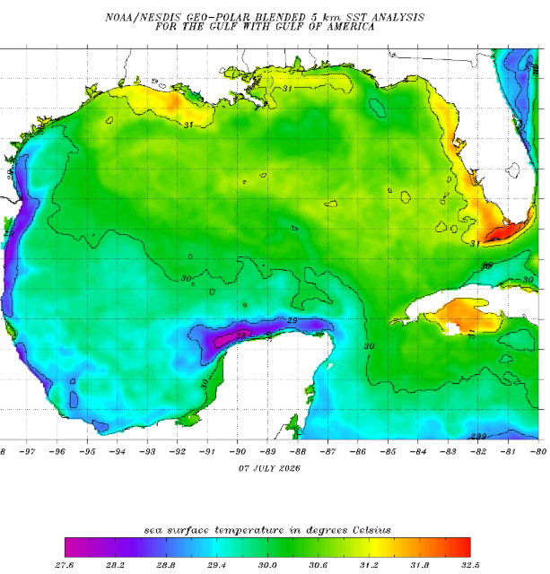
Unsurprisingly, our waters are getting pretty toasty. Temperatures of around 30c can definitely support tropical cyclone development. Thankfully, there appears to be several reasons that this will not occur.
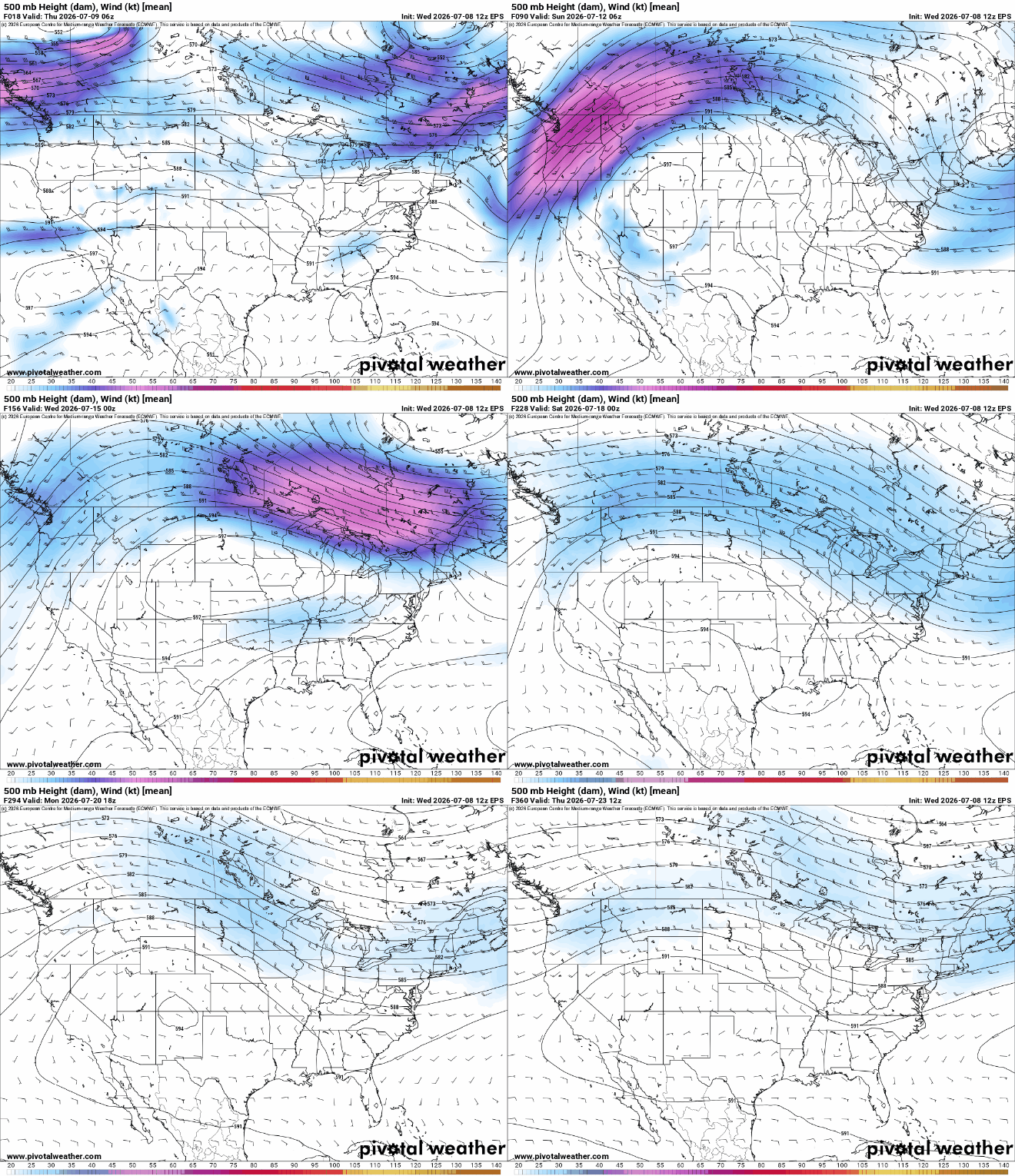
As the ridge amplifies, it will keep hot, sinking air over the Gulf. This will suppress convection and keep thunderstorms from being able to organize.
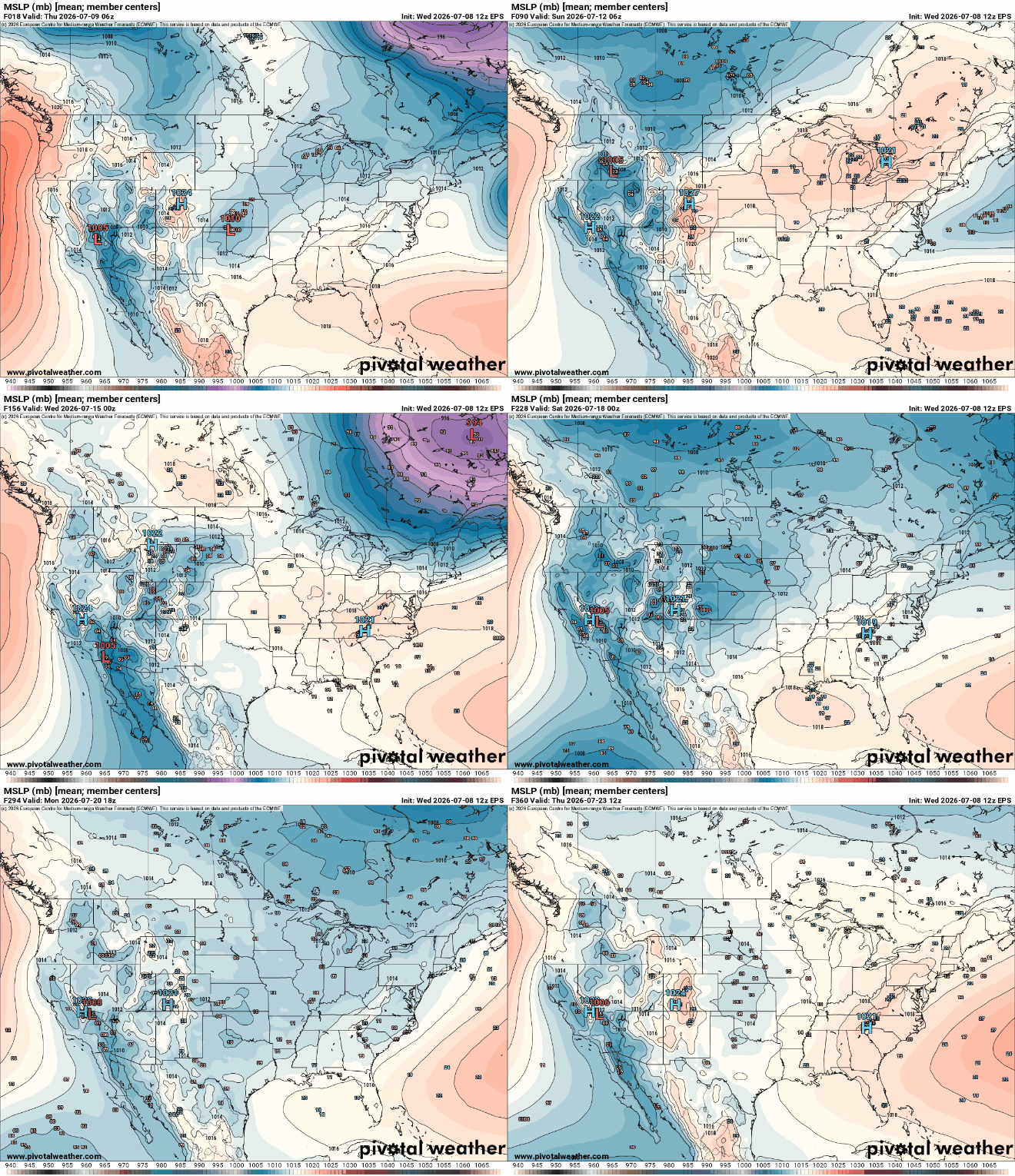
Indeed, the ECMWF ensembles shows no tropical systems developing near or in the Gulf. This is an encouraging sign that indicates it’ll probably be awhile before the pattern will become more favorable for hurricanes again. Overall, our sections of the tropics look calm and tranquil.


