The National Hurricane Center is not anticipating any tropical cyclone activity for us during the next seven days.
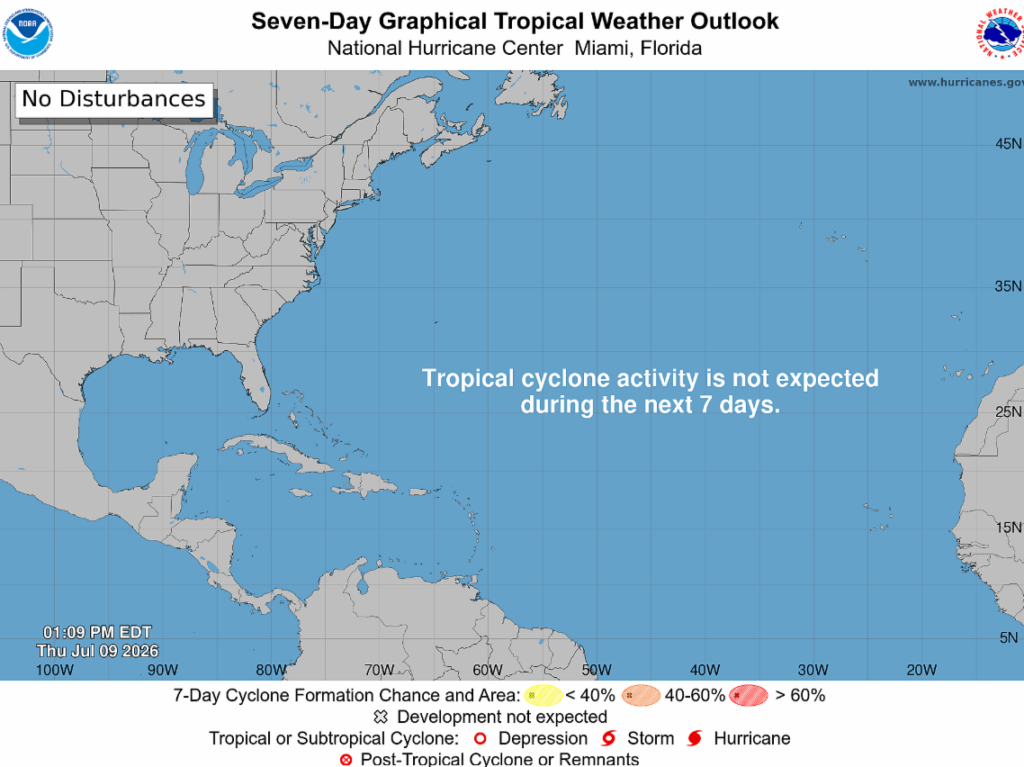
In the Atlantic basin, tropical waves are struggling as they’ve got a lot going against them. This includes below-normal water temps across the tropical Atlantic, along with Saharan dust.
Meanwhile, a lot is cooking up in the Pacific. Just look at all those areas of potential development circled below! Despite being downgraded from a super typhoon, Bavi could still impact northern Taiwan with wind gusts over 100 mph.
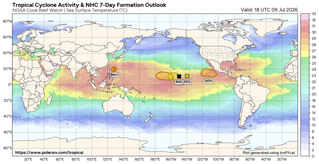
Much of this activity stems from El Niño, a pattern where the central and eastern Pacific Ocean becomes warmer than normal (shown by the red above). The Climate Prediction Center recently issued an El Niño Advisory stating that El Niño is expected to strengthen through the end of the year, with an 81% chance of a very strong El Niño during the Oct-Dec timeframe.
Warm water over the Pacific heats the air above it, causing that air to rise. The air then moves east and sinks over the Atlantic, suppressing tropical storm development. There are also strong upper-level winds across the Caribbean. This means, if anything forms, it would be wiped out in the Caribbean before reaching the Gulf.
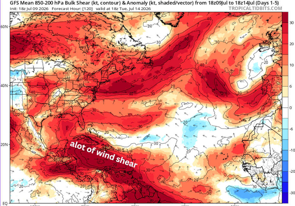
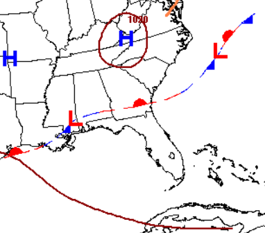
Late this weekend, a weak surface low may form and push off the coast. It’s not forecasted to transform into a tropical cyclone or develop into anything significant, as strong wind shear will dominate. However, the fronts associated with it will bring widespread rain across the southeast next week.