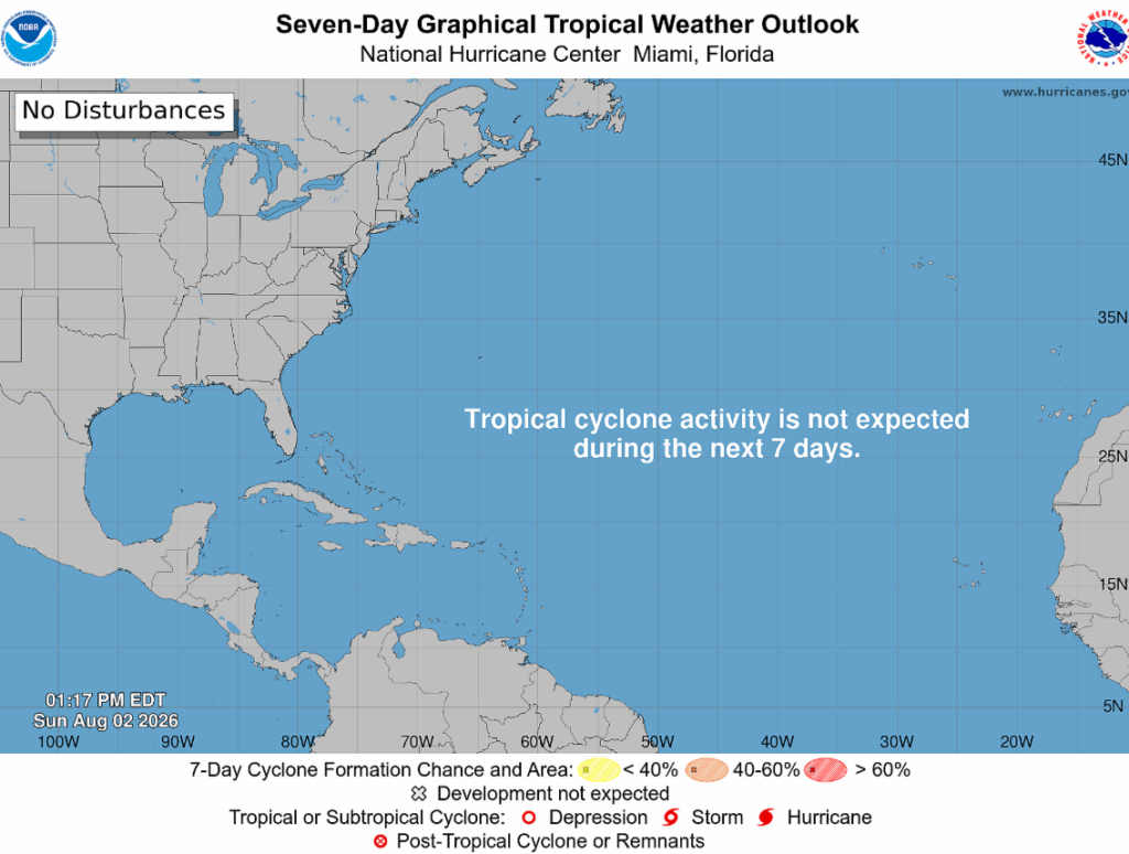
The National Hurricane Center is not anticipating any tropical cyclone activity for us during the next seven days.
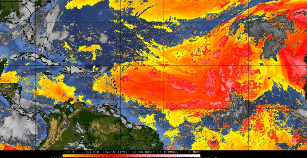
Not much is going on in the Atlantic right now, as dry air/dust is acting as a roadblock for any tropical waves trying to develop, shown by the red blob below.
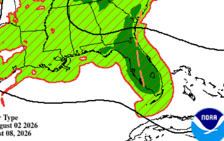
A weak upper-level trough may bring increased shower and thunderstorm activity near Florida late this week, though model guidance remains uncertain on its evolution. As of now, no tropical development is expected from this feature.
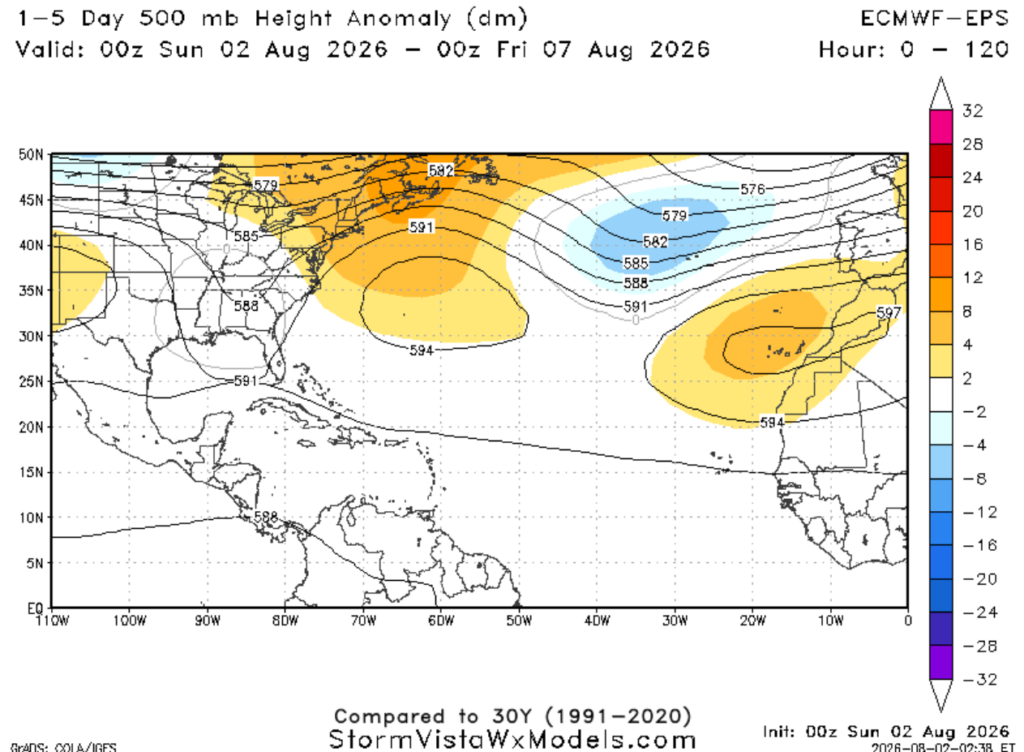
Whether any of that moisture reaches us will depend on whether it gets deflected northward by the ridge over the western Atlantic.
Looking ahead, mid-August appears to become a bit more favorable for tropical development and will be something to monitor as we get closer to peak hurricane season.
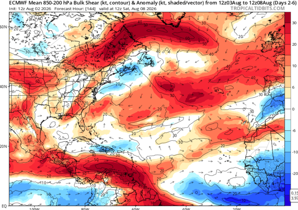
One area to watch is off the coast of Africa, where wind shear is forecast to let up a bit (shown in blue below). That could create a more favorable environment for tropical waves to grow, especially if they can avoid the pockets of Saharan dust.
In summary, quiet conditions are expected in the Atlantic this week, but worth monitoring as we approach the peak of hurricane season!


