You can probably guess what I am about to say (don’t worry it’s good news).
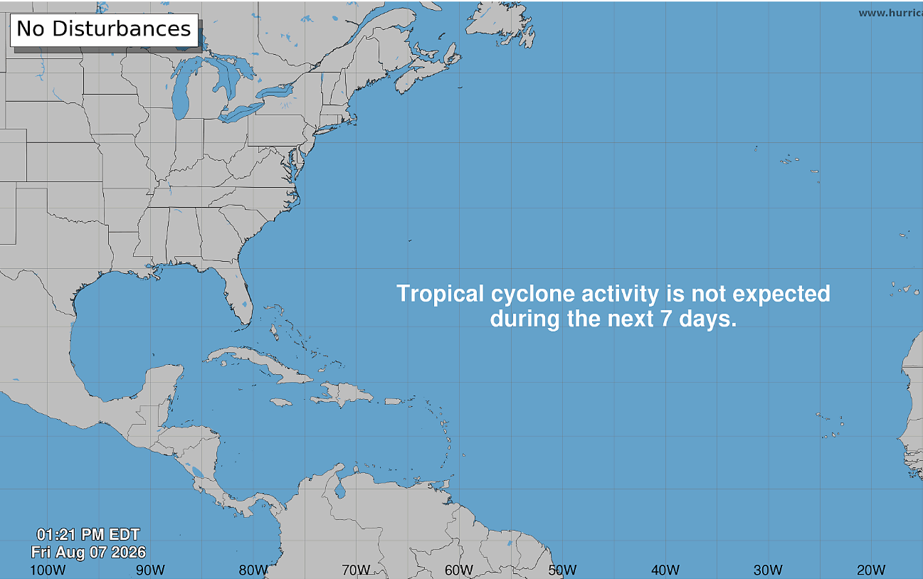
Yup, it looks pretty quiet. Although there is a weak upper level low in the vicinity of our region, ridging is the dominant factor at play. The Pacific is a little slower than it has been with only two areas of interest (both of which have a low chance of development).
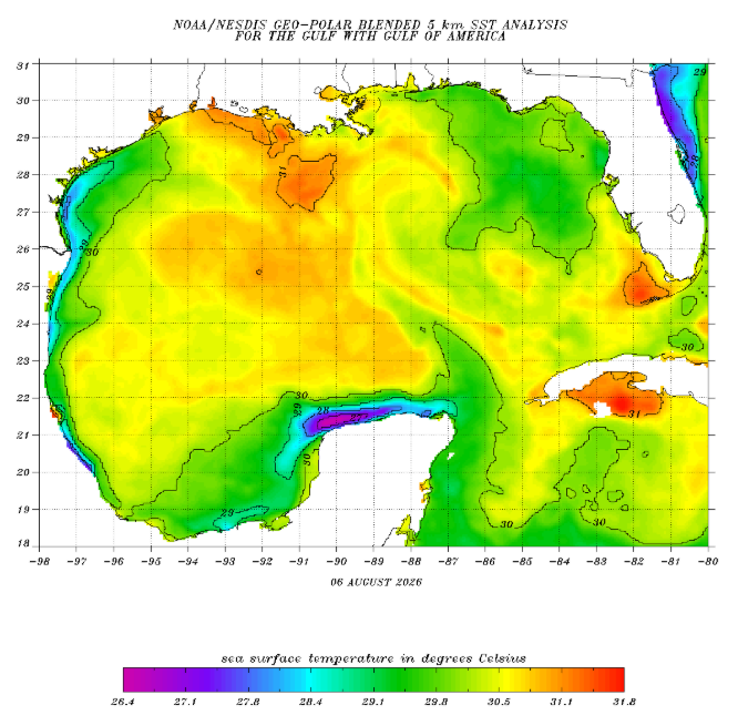
Waters are definitely getting toasty (it’s August, what else is new?). These sea surface temperatures would definitely support tropical cyclone maintenance if something was able to develop.
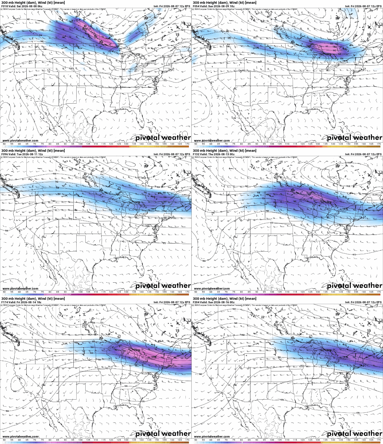
There isn’t too much shear down here as we’re mainly under the ridge. The main jet is well to the north and there is some seasonably strong easterly flow to the south of the ridge. In other words, if something could actually get going it would have have chance of doing something. But…
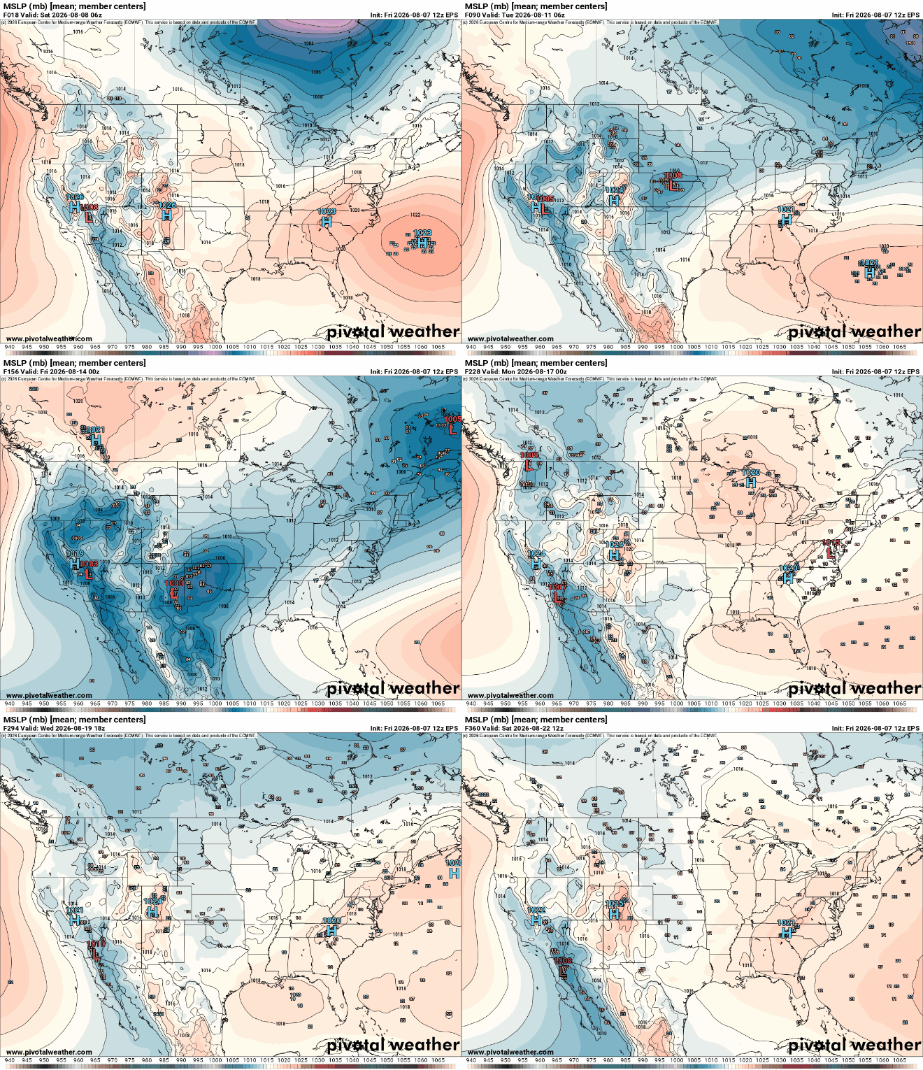
It doesn’t look like anything will develop. Dry air (including some dust) and subsidence is dominating the area where storms typically form. This is fairly common in El Nino years. The latest outlook from the National Hurricane center supports this with an increased chance for a below average season.
We aren’t out of the woods yet. It’s still about a month till the climatological peak of hurricane season and it’s likely something will happen before the season ends.
As of now though, enjoy your peaceful forecast.


