If you look out your window, you’ll see cloudy skies with another rain chance coming soon. A small shortwave trough has developed over Louisiana which is helping to pull enough moisture into southern Louisiana and southern Mississippi which has brought in some rain to wash out the rest of Saturday.
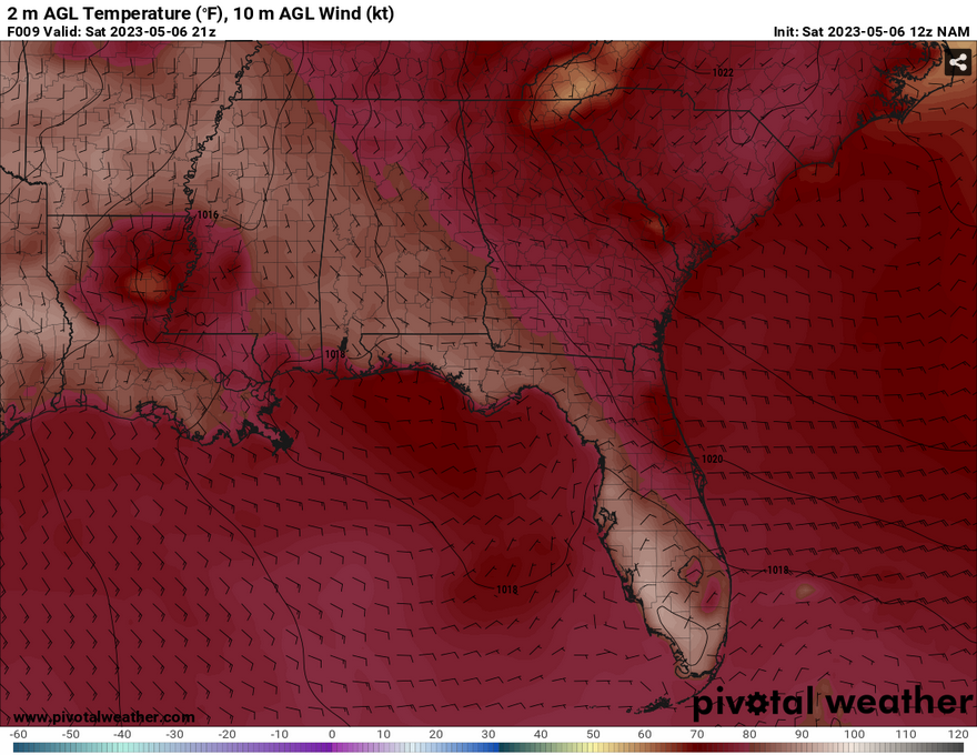
Image courtesy of Pivotal Weather
The southwestern portion of Mississippi is under a marginal risk for severe storms by the Storm Prediction Center. However, most of this severe weather will stay to the south in Louisiana and possibly towards the Mississippi coastline, but the storm system is beginning to dissipate as time goes on. That doesn’t mean that we’re completely out of the clear, though. Rain chances will continue as the storm system butts its head just north enough to hit areas from Pike to Greene County (west to east) and may even poke into some counties further north of the border.
The rain will continue on for the next few hours into the early evening with a few scattered rain chances around sunset. Localized flooding will be possible as there is some moderate to heavy rain that’s shown on the radar currently. Lightning is also a concern if storms have enough instability.
Sunday will be much better in terms of rain chances, but there still is a chance for some isolated and scattered storms especially in the western portion of the Pinebelt. Some southwesterly flow in the lower mid-levels will push some more moisture towards us which could lead to some organized thunderstorms in the evening. Instability levels are fairly high with temperatures warming up and southern/southwesterly flow will help spark off some thunderstorms if conditions are favorable especially with clouds clearing out throughout the middle of the day. Temperatures will also be much warmer with highs in the upper 80s and dewpoints in the upper 60s so expect conditions to be humid.
Regional Day-to-Day Forecast
This Afternoon – A 50 percent chance of showers and thunderstorms. Mostly cloudy, with a high near 82. South southeast wind around 10 mph, with gusts as high as 20 mph. New rainfall amounts between a tenth and quarter of an inch, except higher amounts possible in thunderstorms.
Tonight – A 20 percent chance of showers and thunderstorms before 9pm. Patchy fog after 3am. Otherwise, mostly cloudy, with a low around 64. South wind around 5 mph becoming calm in the evening.
Sunday – A 30 percent chance of showers and thunderstorms in the mid to later afternoon. Patchy fog before 8am. Otherwise, partly sunny, with a high near 88. South southeast wind 5 to 10 mph.
Sunday Night – A 10 percent chance of showers and thunderstorms in the evening. Mostly cloudy, with a low around 68. South wind 5 to 10 mph.
Monday – A 40 percent chance of showers and thunderstorms in the mid-afternoon. Mostly cloudy, with a high near 87. South wind 5 to 10 mph.
Monday Night – A 30 percent chance of showers and thunderstorms before the evening. Mostly cloudy, with a low around 68. South wind 5 to 10 mph.
Tuesday – A 40 percent chance of showers and thunderstorms in the early afternoon. Mostly sunny, with a high near 90. Calm wind becoming south southwest around 5 mph in the morning.
Tuesday Night – A 20 percent chance of showers and thunderstorms before 11pm. Partly cloudy, with a low around 67. South wind around 5 mph becoming calm after midnight.
Wednesday – A 40 percent chance of showers and thunderstorms in the early afternoon. Partly sunny, with a high near 91. Calm wind becoming south around 5 mph in the morning.
Wednesday Night – A 20 percent chance of showers and thunderstorms before midnight. Mostly cloudy, with a low around 67.
Thursday – A 30 percent chance of showers and thunderstorms. A mix of clouds and sun, with a high near 88.
Thursday Night – A 20 percent chance of showers and thunderstorms. Mostly cloudy, with a low around 68.
Friday – A 40 percent chance of showers and thunderstorms. Partly sunny, with a high near 88.


