Time for a quick Gulf Coast Refresh. With summer settling in across the region, we can expect plenty of heat, humidity, and those familiar afternoon thunderstorms.

Today
After a dry morning, we can expect storms to roll in this afternoon. A developing area of low pressure is taking shape this morning and will help increase our easterly breeze throughout the day. That onshore flow will continue to bring moisture into the region, leading to another active afternoon of scattered showers and thunderstorms. Storm coverage is expected to increase this afternoon, with a 60% chance of rain across the New Orleans area.
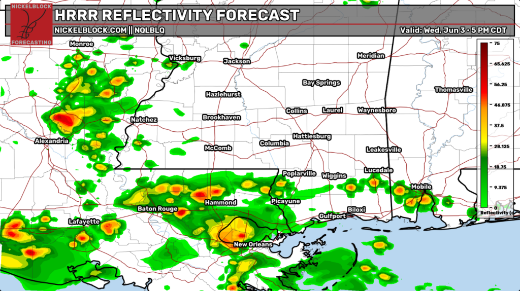
Our HRRR reflectivity forecast shows it’ll be a wet commute home from work for parts of Louisiana. Stay safe out there on the roads!
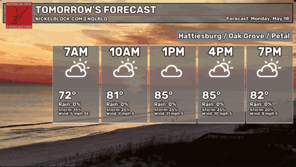
Tomorrow
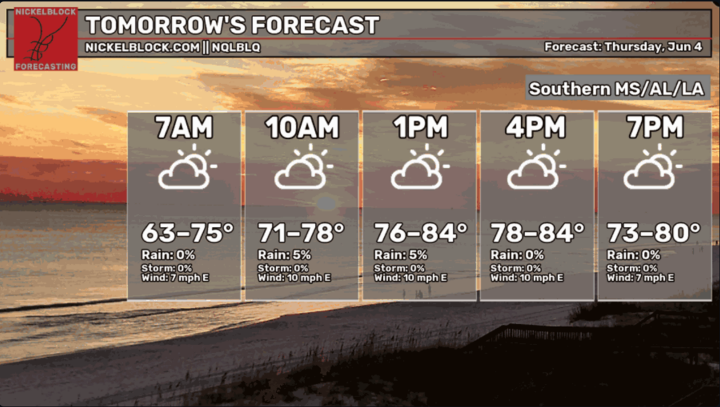
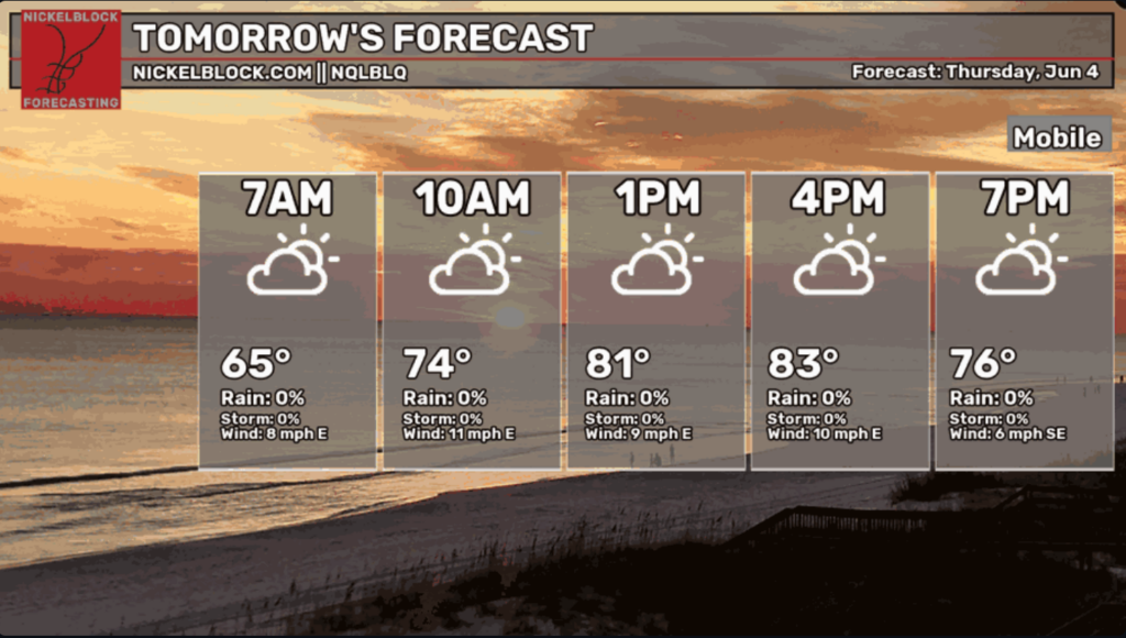
The NickelBlock regional forecast across Southern MS/AL/LA calls for partly cloudy skies with lower chances of rain. Along the Mississippi Coast, Hattiesburg/Oak Grove/Petal, and Mobile areas, we see the same pattern of cloudier skies and lower chances of rain/storms.


Extended Outlook
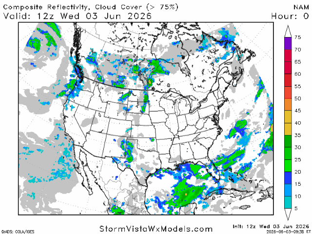
Looking ahead, not much has changed in our overall weather pattern. Our 1-to-5-day composite radar shows several rounds of Gulf moisture moving inland over the coming days. That means daily chances for showers and thunderstorms will stick around, especially during the afternoon and evening hours. Overall, it’s a typical summer pattern with warm temperatures, plenty of humidity, and regular storm chances.

Tropics
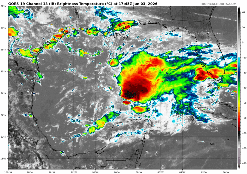
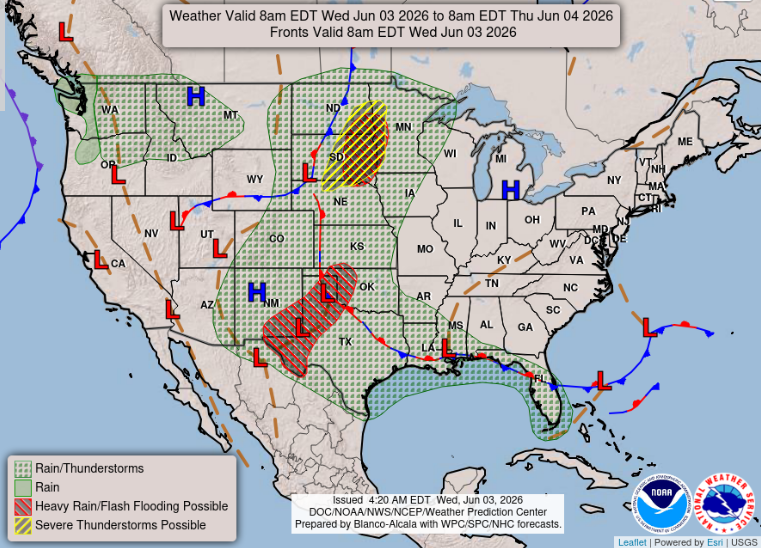
Circling back to the potential tropical development from the stationary front yesterday, tropical development still isn’t expected with this Gulf low. But the spin will come towards our coast on Friday into Saturday, yielding higher rain threats and maybe some heavier, tropical rains.


