Winter weather outlook for Monday/Tuesday here.
The next several days are going to be a bit of a hyperbolic whiplash in terms of temperatures. As we prepare for a bitter cold start to the week, we’ll see a quick warm-up before temperatures plummet again to possible record breaking lows.
I will leave Nick to the details, but as he stated in his post, many areas will receive some sort of wintry mix of freezing rain, sleet, and/or snow. Most of the snow and sleet will remain to the north around I-20 and up. However, in between the Pinebelt to Meridian and further northeast remains a chance of some possible freezing rain as we approach freezing temperatures overnight Monday into Tuesday. If you have to drive anywhere, be safe, drive slow, especially over bridges since they ice over easily.
Afterwards, temperatures will hover around the 30s for Tuesday and dip much below freezing into the mid-teens by Tuesday night. The cold front will be slowly moving past us and bring with it some gusty winds which will make the wind chill that much worse. I’d highly suggest dressing in layers if you have to be outside for any point in time.
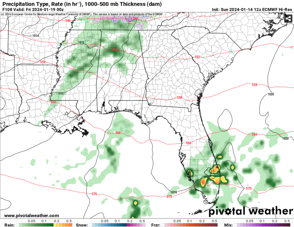
By Wednesday, the winds will relax a bit but we’ll still see temperatures in the upper 30s to low 40s for the high and in the 20s for the low. By Thursday, another front will pass with a chance for rain. This system looks pretty weak and likely won’t have any sort of severe weather associated with it. Judging by the soundings, this looks to be like some low-level stratiform rain which will make it a fairly cool, rainy night overnight into Friday.

With the passage of the cold front, expect some gusty north winds and some wind chill cutting into the already low 50s high. With that and the dry conditions, temperatures may dip into the upper teens again Friday night, so keep your faucets running and outdoor pipes covered. The weekend will be equally as cold with temperatures just brushing the 40s Saturday and Sunday, so be prepared to wear your layers and heavier jackets.
[wpcode id=”41179″]
Regional Day-to-Day Forecast
This Afternoon – Sunny, with a high near 59. West northwest wind around 5 mph.
Tonight – Mostly clear, with a low around 32. North northeast wind around 5 mph.
M.L.King Day – Partly sunny, with a high near 58. Northeast wind around 5 mph.
Monday Night – A chance of rain and sleet before 2am, then a chance of rain, freezing rain, and sleet between 2am and 3am, then a slight chance of freezing rain and sleet after 3am. Mostly cloudy, with a low around 25. North wind 5 to 15 mph, with gusts as high as 25 mph. Chance of precipitation is 40%.
Tuesday – A slight chance of freezing rain and sleet before 7am, then a slight chance of freezing rain between 7am and 8am. Mostly sunny, with a high near 37. North wind 10 to 15 mph, with gusts as high as 25 mph. Chance of precipitation is 20%.
Tuesday Night – Mostly clear, with a low around 14. North northwest wind 10 to 15 mph, with gusts as high as 25 mph.
Wednesday – Sunny, with a high near 44. North wind 5 to 10 mph becoming east in the afternoon.
Wednesday NightMostly clear, with a low around 23. East wind around 5 mph becoming south southeast after midnight.
Thursday – Partly sunny, with a high near 58. South southeast wind 5 to 10 mph.
Thursday Night – A 40 percent chance of rain. Mostly cloudy, with a low around 39.
Friday – Mostly sunny, with a high near 50.
Friday Night – Mostly clear, with a low around 18.
Saturday – Sunny, with a high near 40.
[wpcode id=”41149″]


