Football season is starting today for Southern Miss! Let’s take a look at the forecast for this weekend first.
Today
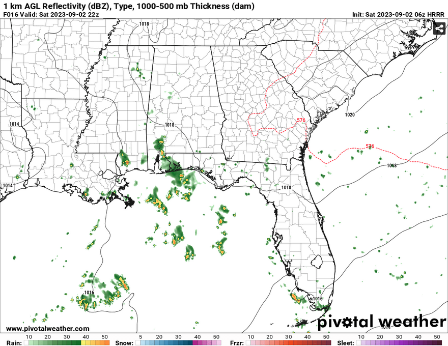
We’ll have a mix of clouds all day with some scattered thunderstorms moving in from the coast, especially in the mid-afternoon into the evening. I would keep an umbrella or a poncho with you if you’re going to the game tonight as most of the rain will start moving up from the south in the evening. It also should be stated that a lightning delay may not be ruled out. Rain chances should diminish as we go into the overnight hours.
Sunday
Sunday will be a similar story to Saturday with diurnal thunderstorm development coming from the Gulf Coast. Scattered thunderstorms are possible around the Pinebelt, however, most of these storms shouldn’t be severe with instability being fairly low. Temperatures will range around the upper 80s to low 90s with heat indices in the upper 90s.
Labor Day
Monday will see some showers and thunderstorms closer to the early afternoon into the early evening before the ridge settles in. So far, the SPC doesn’t have any sort of severe outlook for Monday. Temperatures will reach the low 90s and will be a mix of clouds and sun.
The Rest of the Week
With the low pressure retreating west and ejecting northeast, another ridge will take its place during the week. The ridge will strengthen over the next few days and will also shift winds more northerly. Sadly, this will also diminish rain chances later in the week. Temperatures will also be on the rise into the upper 90s and while not as extreme as last month, heat indices will also reach the low 100s.
[wpcode id=”41179″]
Regional Day-to-Day Forecast
Today – Showers and thunderstorms likely in the afternoon. Partly sunny, with a high near 89. Calm wind becoming east around 5 mph in the morning. Chance of precipitation is 70%. New rainfall amounts between a tenth and quarter of an inch, except higher amounts possible in thunderstorms.
Tonight – A chance of showers and thunderstorms before midnight, then a slight chance of showers before sunrise. Mostly cloudy, with a low around 74. East southeast wind around 5 mph becoming calm. Chance of precipitation is 30%.
Sunday – Showers and thunderstorms, mainly after noon. High near 90. Heat index values as high as 98. East wind 5 to 10 mph. Chance of precipitation is 80%. New rainfall amounts of less than a tenth of an inch, except higher amounts possible in thunderstorms.
Sunday Night – A 30 percent chance of showers and thunderstorms. Mostly cloudy, with a low around 73. South southeast wind 5 to 10 mph becoming light southeast after midnight.
Labor Day – Showers and thunderstorms likely, mainly after noon. Partly sunny, with a high near 90. East southeast wind 5 to 10 mph. Chance of precipitation is 60%. New rainfall amounts between a tenth and quarter of an inch, except higher amounts possible in thunderstorms.
Monday Night – Partly cloudy, with a low around 71. South southeast wind 5 to 10 mph.
Tuesday – A slight chance of showers and thunderstorms in the afternoon. Sunny, with a high near 92. Southeast wind 5 to 10 mph. Chance of precipitation is 20%.
Tuesday Night – Mostly clear, with a low around 70. South wind 5 to 10 mph.
Wednesday – Sunny, with a high near 95. East southeast wind 5 to 10 mph.
Wednesday Night – Clear, with a low around 71.
Thursday – Sunny and hot, with a high near 97.
Thursday Night – Clear, with a low around 71.
Friday – A 20 percent chance of showers and thunderstorms. Sunny and hot, with a high near 98.
[wpcode id=”41149″]


