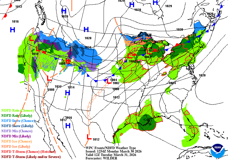
Weather conditions have certainly flip-flopped over the weekend, and we’ll have another flip coming up this week. Low and mid-level clouds will be present today with a few cells developing over parts of Louisiana and southern Mississippi. This trend will be more widespread over the next several days as we contend with an incoming front and moisture flow from the Gulf.

Today
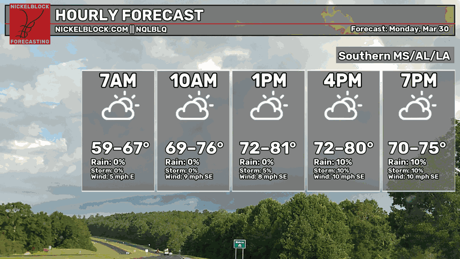
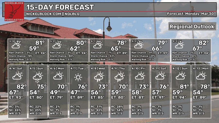
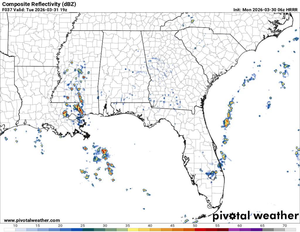
We can expect a mix of clouds and sun today with incoming low and mid-level clouds pulling from the south. So far, the rain chances are concentrated towards much of southeastern Louisiana, but we may see a few cells make their way up towards southwestern Mississippi and even parts of the Pine Belt. Highs will be in the low 80s, so it’ll feel warmer than it did yesterday. Overnight, we’ll reach the low 60s.

Tomorrow
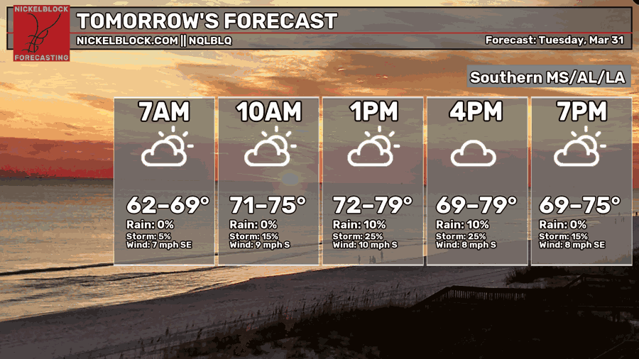
We’ll have a slightly cooler day tomorrow, but more clouds will roll in by the afternoon. A higher chance for rain is possible as the moisture flow shifts to the east. This means that those of us in the Pine Belt will see rain. Hooray! After all the wildfires and unusually dry conditions, we’ll finally get some rain tomorrow afternoon. Highs will be in the upper 70s and lows in the low to mid 60s.
Wednesday
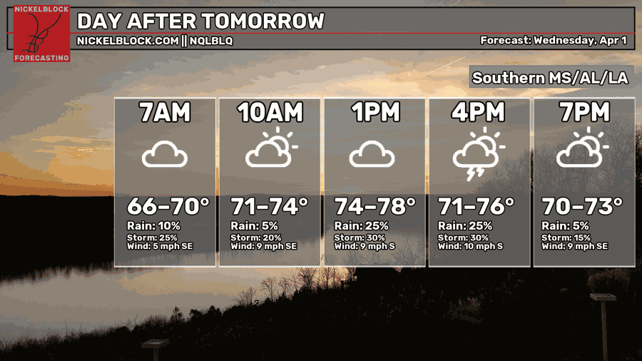
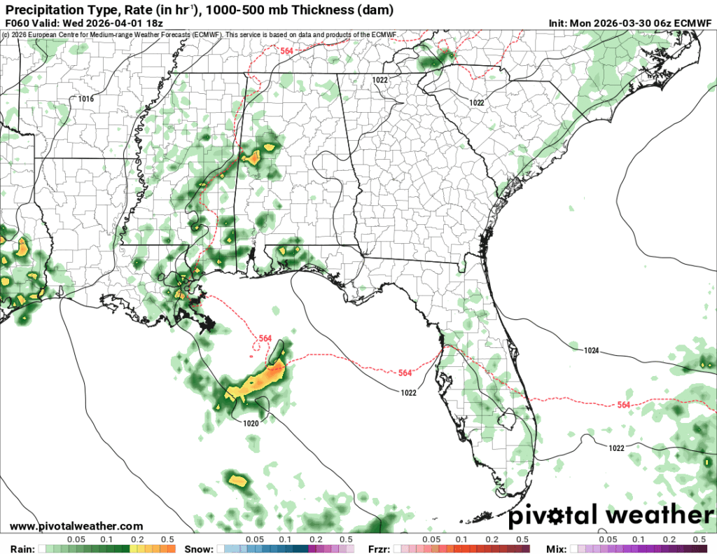
Another round of showers and thunderstorms are possible Wednesday afternoon. This is based on more gulf moisture and CAPE, so cells won’t develop everywhere, but will be scattered across the Gulf south again. Otherwise, expect a mix of clouds and sun during the day with highs in the mid to upper 70s and a low in the mid 60s.
End of the Week
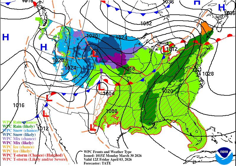
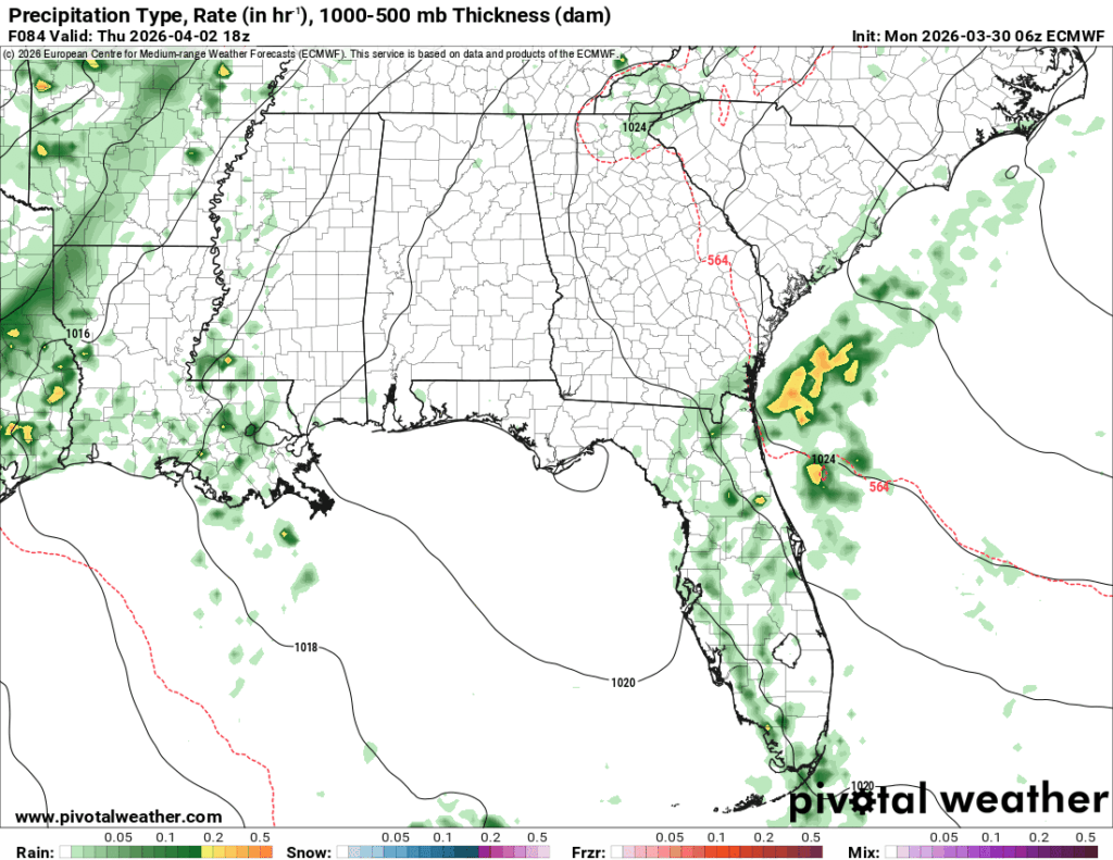
The rain chances will decrease a bit Thursday and Friday, but that doesn’t mean they’ll be zero. A low pressure system is going to move further to the north from the eastern Plains to the Great Lakes region leaving behind the moisture flow in the Deep South. It’s going to be warm and humid both days and will continue on into the weekend.
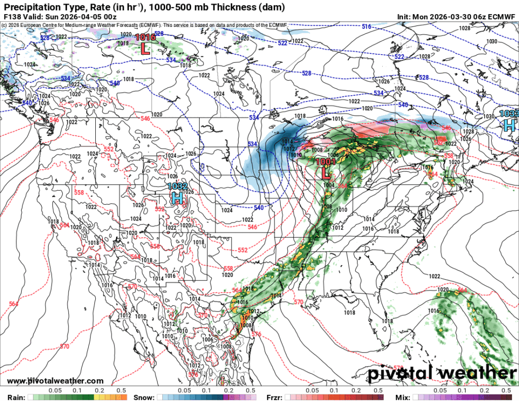
Speaking of the weekend, it’s looking like the Easter egg hunt may be a washout so far. Saturday will have another chance of scattered storms moving from the south. So far it doesn’t look like there’s much severe weather to contend with, but it’s worth keeping an eye on since these cells are ahead of the main line. The next round with the front will move in overnight into the morning hours. The line itself will last until the afternoon hours, so it looks like church and the Easter egg hunt may have to wait until the later afternoon, so keep that in mind!