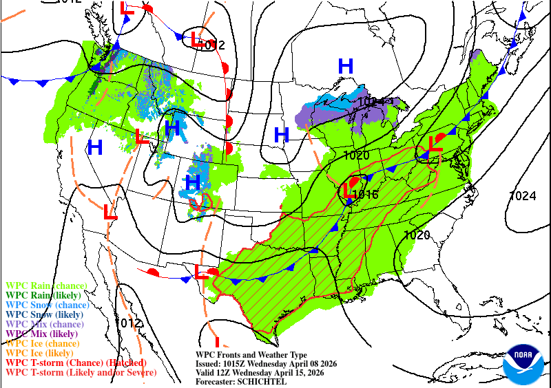
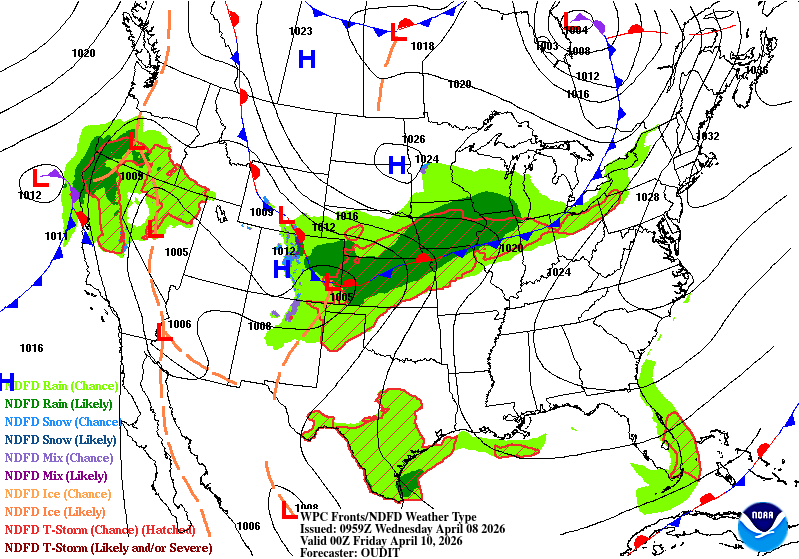
We’re continuing the trend of warm and dry temperatures as we’re still stuck under a large high pressure system. That won’t be going away for the next several days and while it won’t bring temperatures to summertime-like conditions, we’ll slowly creep back into the warm and humid conditions like we had last week. The main difference with this though is that there’s very little rain to contribute to the humidity!

Today
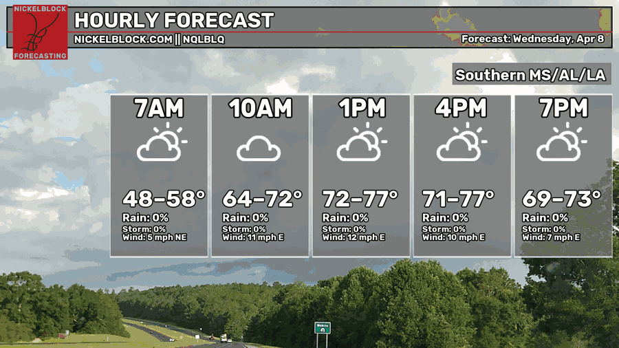
It started off a bit chilly this morning with many of us reaching the upper 40s/low 50s. Some upper level clouds are already in the sky and will hang around during the day. Highs will be in the mid to upper 70s with winds out of the East. Overnight, we’ll fall back into the mid 50s.

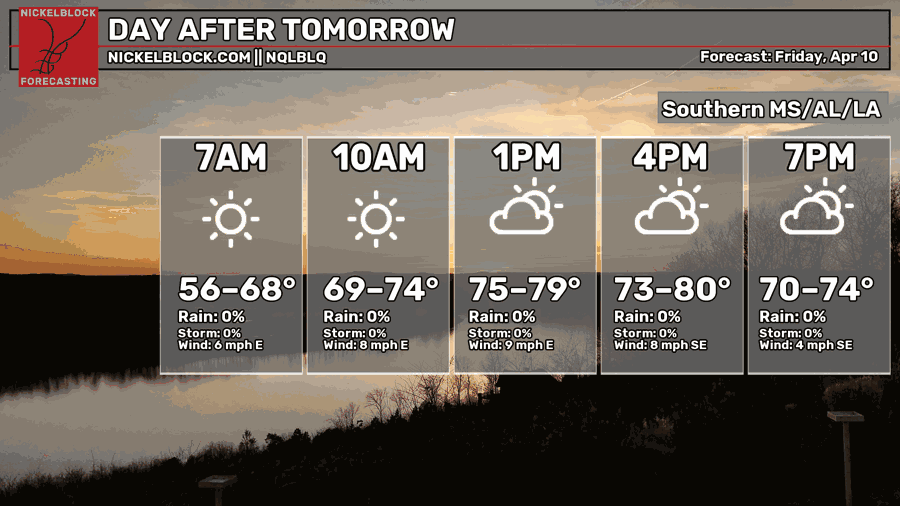
Tomorrow
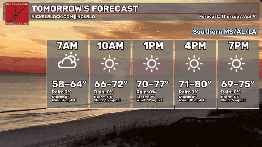
Tomorrow will be mostly sunny with temperatures in the mid to upper 70s again. Winds will calm down a bit but still out of the east. Overnight, we’ll reach the mid 50s again. A few areas in Louisiana may see a shower or two.
This Weekend
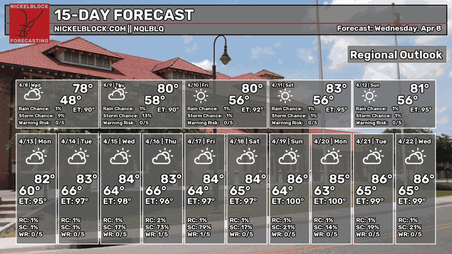
We’ll be on a gradual warming trend this weekend beginning on Friday. Temperatures will reach the low 80s during the day creeping up towards the mid 80s by Sunday. The good news is that the humidity doesn’t really increase, so it won’t be miserable outside. Low temperatures stay around the mid 50s for the weekend before increasing by next week.
Extended Look
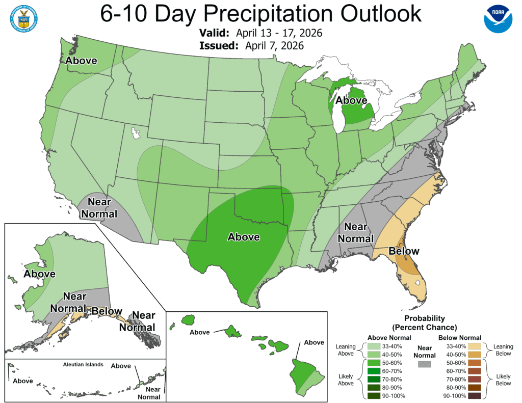
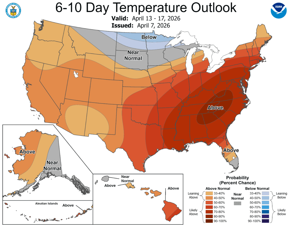
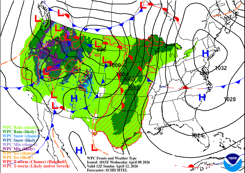
While the high pressure system hangs around the Atlantic coast, another cold front will move in and put the pressure (no pun intended) on it to move. The high will weaken a bit and allow some areas to receive some rain in parts of central MS/north LA. It’s going to be a toss-up as to whether the front moves further south, however. Otherwise, we can expect warmer temperatures and higher humidity next week.