A break. Finally.
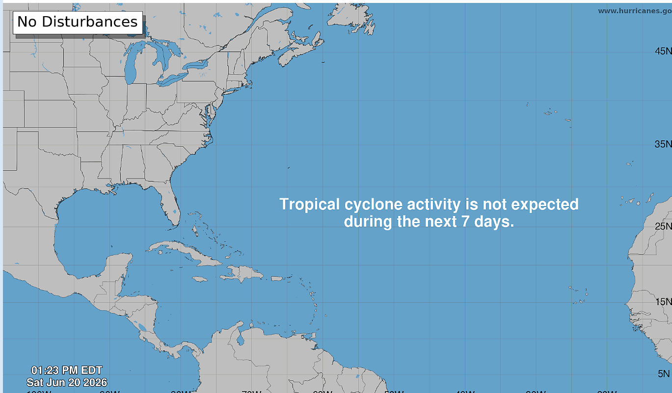
The upcoming pattern does not appear to be favorable for tropical cyclone formation in or near the southeastern United States. This will give us a well deserved break even though the weather will not exactly be quiet.
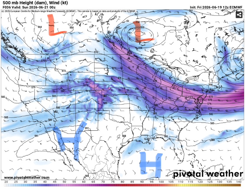
The jet stream is fairly active for this time of year with moderate westerly flow across the country. The jet is expected to dip south towards our area keeping tropical systems from being able to reach the region.
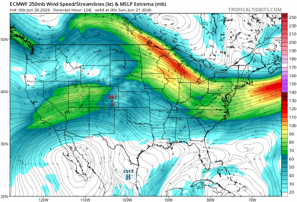
Given the background El Nino conditions, the tropical jet will likely remain fairly strong and far south. This will keep wind shear in place that is detrimental for tropical storm formation. The bad news is that there will likely be plenty of rain and storms from this jet even without a hurricane in the picture.
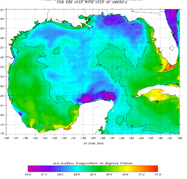
The other piece of the puzzle is sea surface temperatures. Due to all the recent rain, temperatures in the gulf are very cool (too cool for tropical systems). These cooler waters may remain in place for sometime as repeated rounds of precipitation traverse the coast.
Most long range ensemble models do not show any systems forming for the foreseeable future. Overall, no tropical cyclones are expected but rain and storms will be likely.


