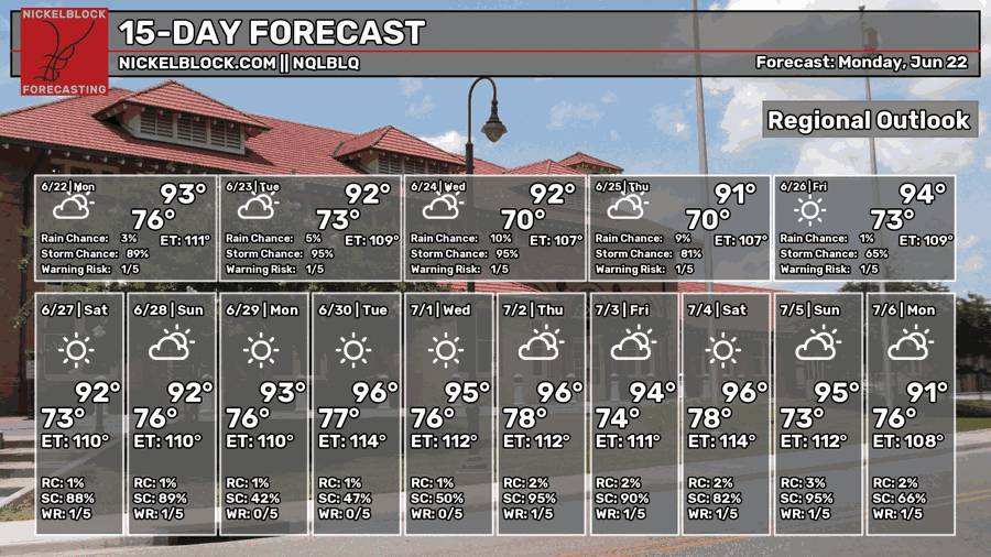
While the overwhelming flash flood rainfall has exited, we’re not quite out of the woods for the next few days. A small system is currently moving southward bringing a line of MCS storms our way tonight and tomorrow. While most of this will dissipate by early Tuesday morning, more afternoon storms are possible later. By Thursday, the front moves out and we get a high pressure dome in the Gulf bringing warmer weather.

Today’s Setup
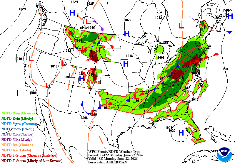
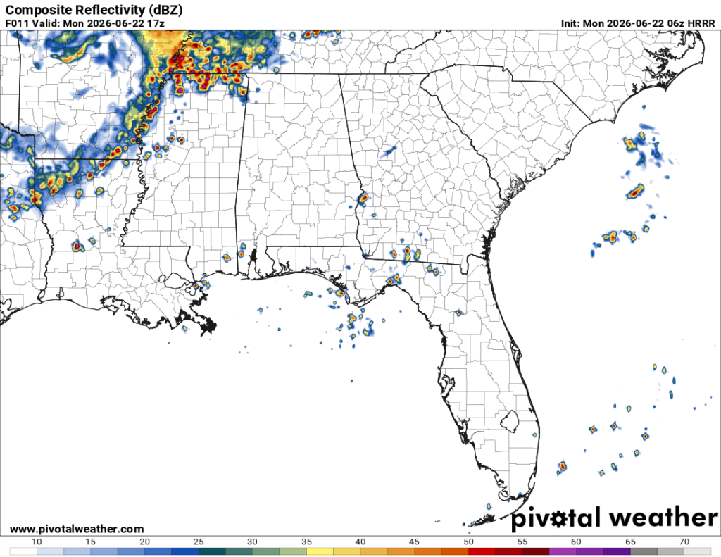
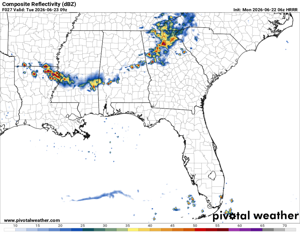
Looking at the surface, we can see a large stationary front over much of the eastern US leading to possible severe weather in the upper Appalachians and eastern half of Pennsylvania. For us, the rain we’ll see will be from a few afternoon thunderstorms moving out of the southwest. Storms are possible from this front in northern and central Mississippi during the afternoon to evening. Towards the early morning hours, the line will begin to fall apart as it moves further south into the Pine Belt.
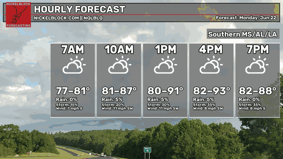
Otherwise, we’ll be back in the upper 80s to low 90s today. Dewpoints will be in the low 70s, so it’ll still be fairly humid outside. Skies will be partly cloudy with winds out of the southwest around 5-15mph. Lows will be in the low 70s.

Tomorrow
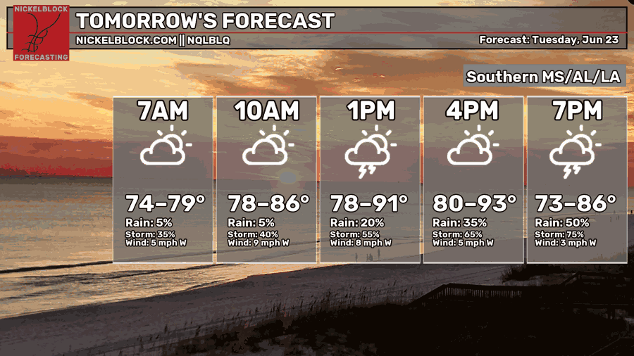
Some early and late afternoon thunderstorms are possible tomorrow as the front moves further south. Winds will shift to the west pushing storms towards the southeastern part of MS but the northwesterly winds in the mid-levels will drive more and more over the period of a few hours.
Along with more storms moving in during the day, temperatures will be in the upper 80s to low 90s with partly to mostly cloudy skies. Overnight, the temperatures will fall back into the low 70s with a small chance for rain in the early morning hours.
Wednesday
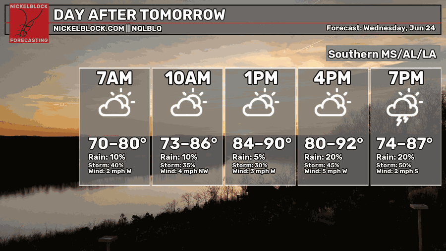
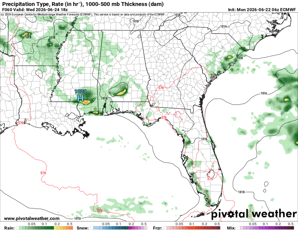
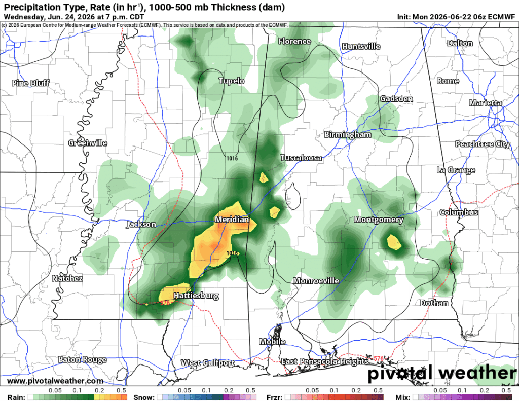
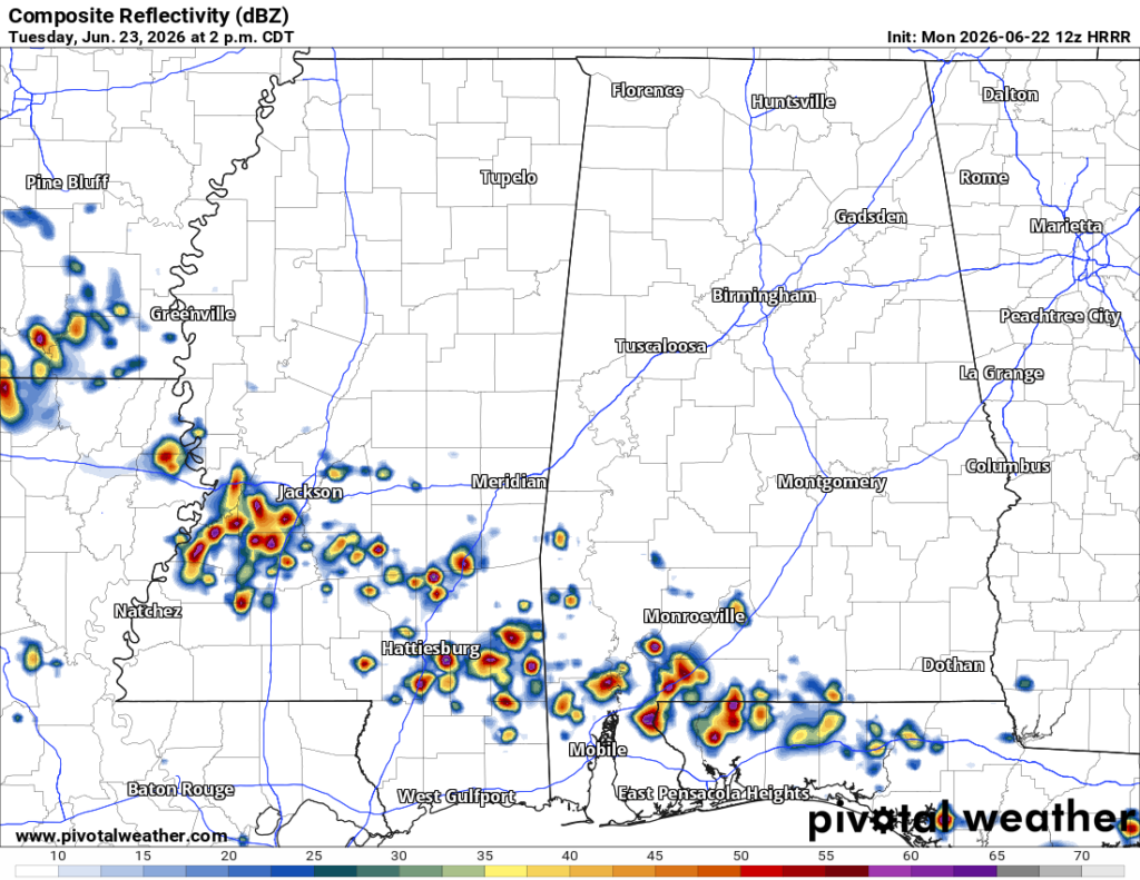
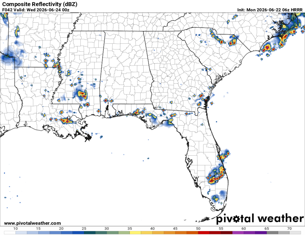
Wednesday is looking like another stormy one with a split MCS moving in during the early afternoon and late afternoon. Storms will move in from the northwest adding to our rain total for June, which is already pretty darn high. Afterwards, we’ll have a muggy but calm evening. Highs in the upper 80s/low 90s, lows in the low 70s.
End of the Week
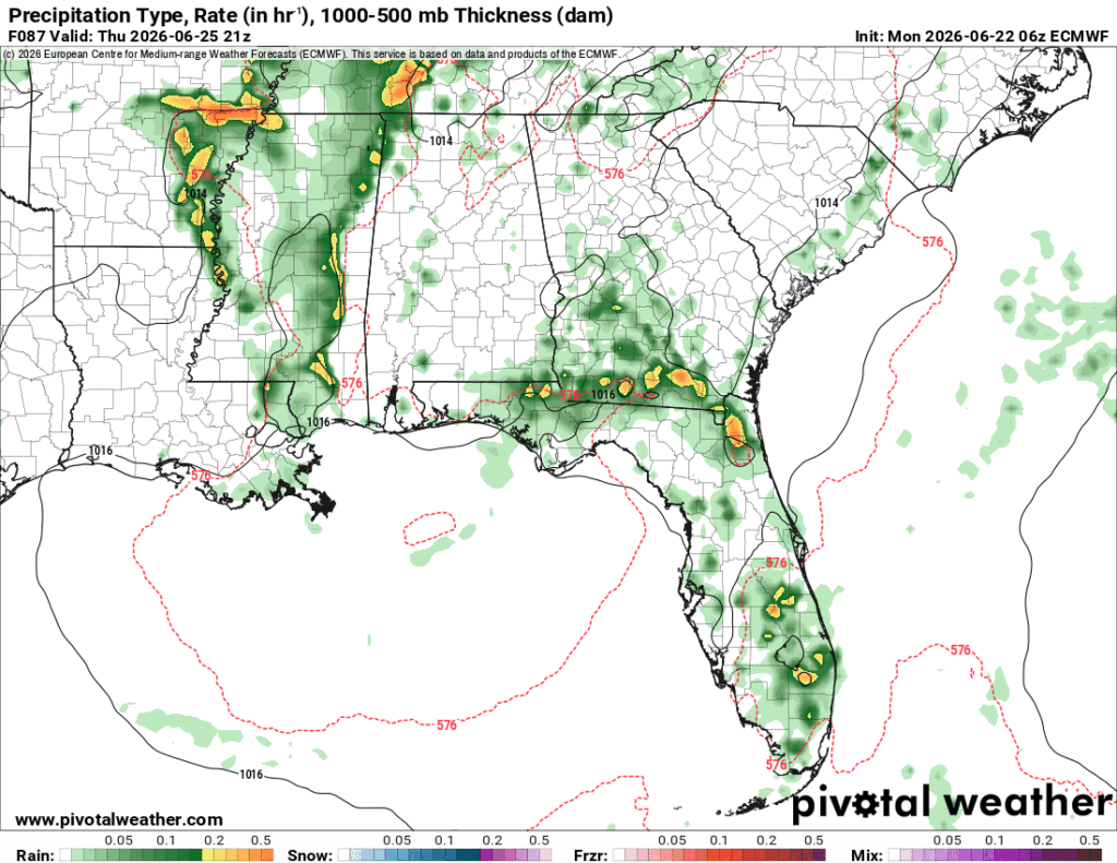
We have one more day of rain on Thursday. The front is dissolving and on its way out, and in its place is a Gulf high. The good news is that the rain is moving out. The bad news? Well, it’s summer. In Mississippi. It’s gonna be hot. That high pressure system is going to bring in southerly winds adding to the already high humidity, so it’s going to be hot and muggy going forward into the weekend. Get your jugs of water ready and sunscreen because the start of summer is going to be sticky!