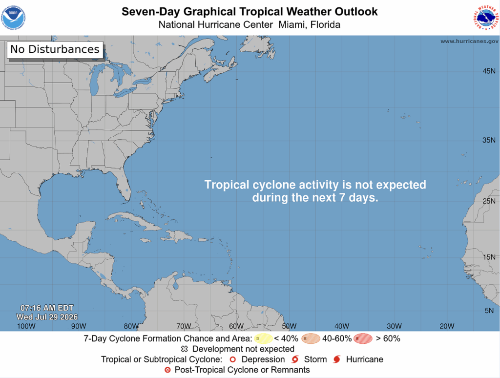
The Atlantic is quiet there with no expected tropical cyclone activity over the next week.
The Pacific is a different story. There are two tropical cyclones: Post-tropical Cyclone Fausto and Hurricane Genevieve.
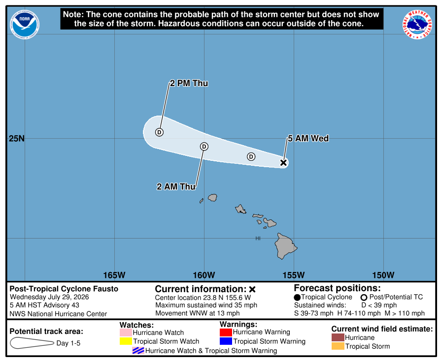
Post-tropical Cyclone Fausto was a tropical storm yesterday. The reason for the reclassification is due to the loss of convection, disorganized circulation, and unfavorable environmental conditions. Now, the maximum sustained wind speed is 35 mph, and it is moving west-northwest at 13 mph. The east side of the Hawaiian Islands is still facing dangerous beach conditions such as large surf and strong currents as Fausto passes north of the islands.
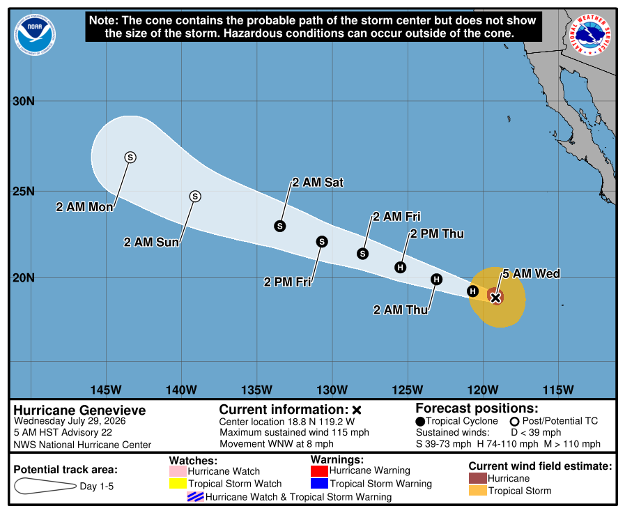
Category 3 Hurricane Genevieve, while weakening, still has maximum sustained winds of 115 mph. Genevieve is moving west-northwest at 8 mph. Genevieve seems to be weakening and could become a tropical storm late Thursday/ early Friday.
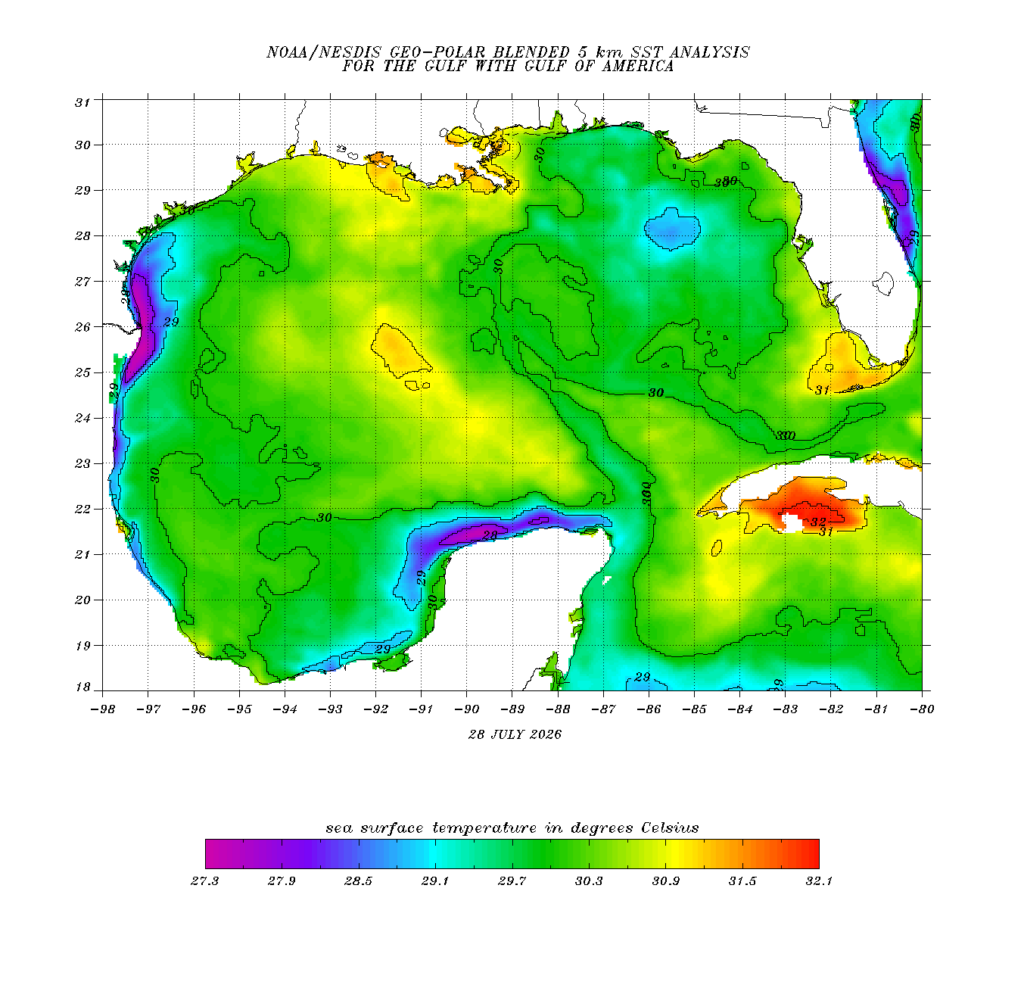
In the Gulf, sea surface temperatures (SSTs) in the Gulf, while still mostly within the optimal range for tropical cyclone development, are beginning to cool down.
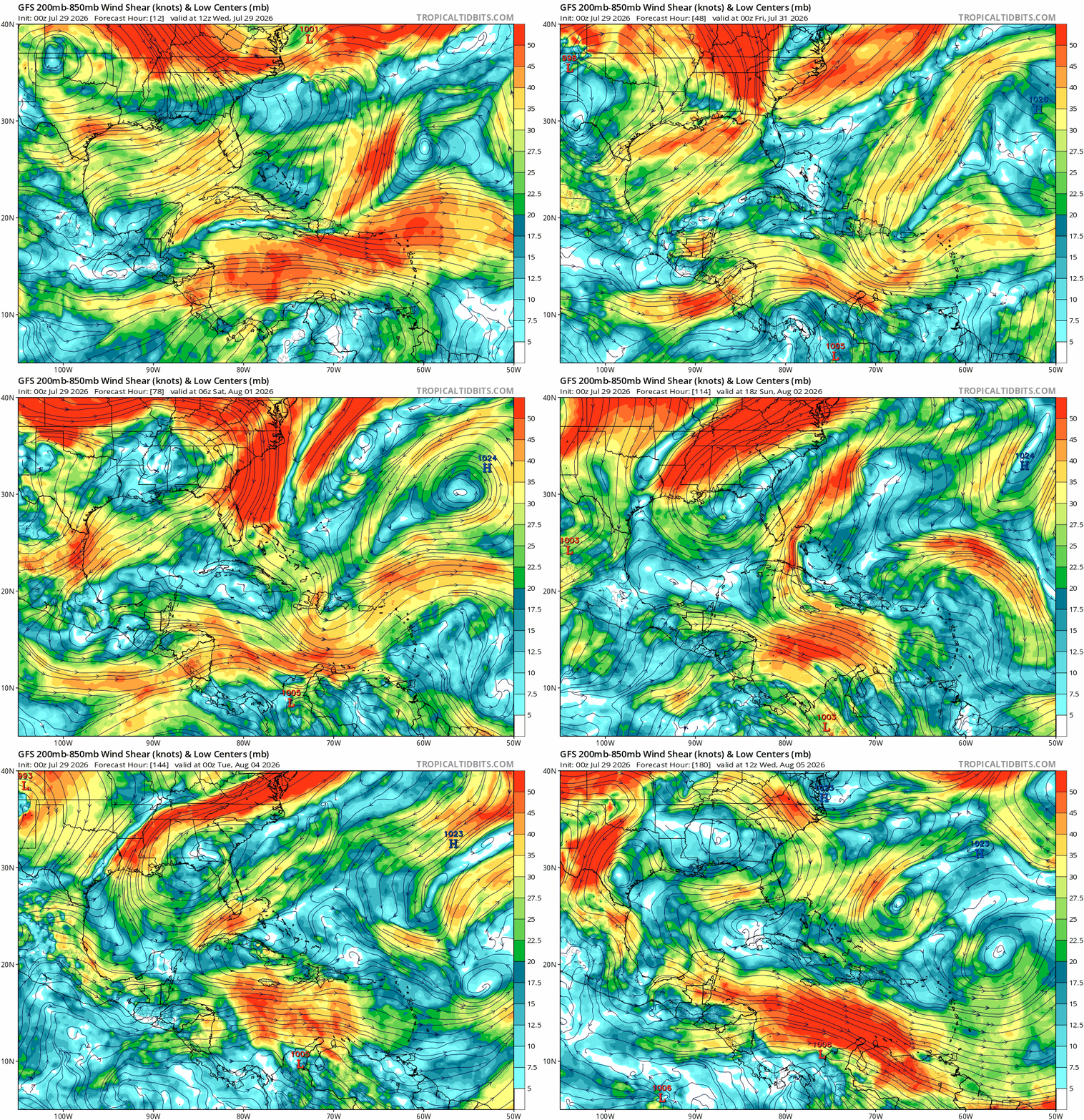
Over the next week, wind shear in the Gulf is moderate to high for the first half of the week. By the end of the week, the wind shear is low to moderate. The Caribbean Sea has strong wind shear the whole week. This is not optimal for tropical development.