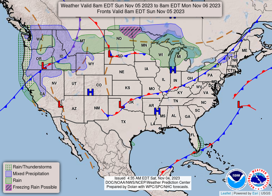
It’s still no surprise that we’re stuck in a major dry pattern after the CPC has put the Deep South under an exceptional drought. A strong eastern high pressure system is dominating most of the South and Atlantic coast keeping chances for precipitation low or non-existent.
Looking at the Euro model, this high doesn’t look like it’s going anywhere for several days. It’s currently at its peak in terms of strength, and it’s bringing in warmer than average temperatures with it. Today, we’ll see temperatures reach the mid to upper 70s and likely crack the 80s by the beginning of the week. Low temperatures will range from the upper 40s to the low 50s by Sunday and into the upper 50s by Monday. It’s definitely a big change from last week’s fall weather!

The NWS in Jackson has also issued a limited risk of fire danger for the weekend and likely will last until the middle the week. While the wind isn’t as big of a problem for spreading fires, the continued dry conditions with plenty of fuel is! I will continue to say, heed the burn bans.
I will have our weekly outlook out tomorrow to talk about another cold front possible near the weekend and a possible chance of rain. Stay tuned!
[wpcode id=”41179″]
Regional Day-to-Day Forecast
Today – Sunny, with a high near 78. Calm wind becoming east around 5 mph.
Tonight – Clear, with a low around 48. Calm wind.
Sunday – Sunny, with a high near 80. Calm wind becoming north around 5 mph.
Sunday Night – Mostly clear, with a low around 50. Calm wind.
Monday – Mostly sunny, with a high near 81. Calm wind becoming south southwest around 5 mph in the afternoon.
Monday Night – Partly cloudy, with a low around 53. South southwest wind around 5 mph.
Tuesday – Sunny, with a high near 82. South southwest wind 5 to 10 mph.
Tuesday Night – Mostly clear, with a low around 58. South southwest wind 5 to 10 mph, with gusts as high as 20 mph.
Wednesday – Sunny, with a high near 83. South southwest wind 5 to 10 mph, with gusts as high as 20 mph.
Wednesday Night – Partly cloudy, with a low around 61.
Thursday – Mostly sunny, with a high near 82.
Thursday Night – A 20 percent chance of showers. Partly cloudy, with a low around 60.
Friday – A 20 percent chance of showers. Partly sunny, with a high near 74.
[wpcode id=”41149″]


