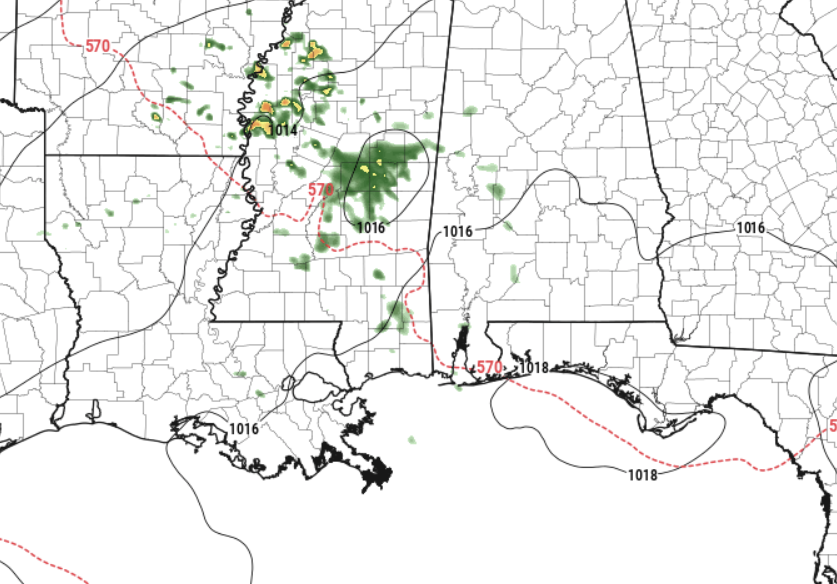
Outside of some patchy drizzle this morning, things look generally dry today, albeit a bit cloudy. Some folks may see some brief rain, but it looks like any potential for organizaed storms will be to the north.
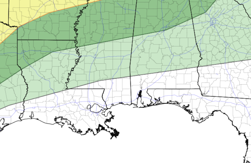
The National weather Service and Storm Prediction Center have highlighted sections north of I-20 with a Marginal Risk for severe weather — the main threat today looks to be brief heavy rain, lightning, gusty wind and small hail.
For everyone else, it looks like some clouds and warmth is going to be the name of the game.
In fact, most of us should stay dry for today and tomorrow, before a better shot for rain arrives on Saturday. So far it looks like areas north of HWY 98 have the best chance for rain on Saturday, but it can’t be ruled out across the entire area.
Then Sunday we all get a decent shot for a bit of rain.
The good news is that it looks like this round of rain won’t come with a shot for muc – if any – severe weather. Sure, its April, we can’t rule it out completely. But the potential isn’t terribly high at all.
Then, as we roll into next week things calm back down and temperatures remain seasonably warm.
REGIONAL DAY TO DAY FORECAST
Today: Mostly cloudy. Highs in the lower 80s. South winds 5 to 10 mph.
Tonight: Mostly cloudy. Patchy fog after midnight. Lows in the mid 60s. South winds 5 to 10 mph.
Friday: Patchy fog in the morning. Mostly sunny. Highs in the upper 80s. Southwest winds 5 to 10 mph.
Friday Night: Mostly clear in the evening, then becoming mostly cloudy. Lows in the mid 60s. Southwest winds 5 to 10 mph.
Saturday: Mostly cloudy in the morning, then partly sunny with a slight chance of showers with isolated thunderstorms in the afternoon. Highs in the mid 80s. West winds around 5 mph, becoming south in the afternoon. Chance of rain 40 percent.
Saturday Night: Mostly cloudy with isolated thunderstorms. A slight chance of showers in the evening, then a chance of showers after midnight. Lows in the lower 60s. Chance of rain 30 percent.
Sunday: Showers likely with isolated thunderstorms. Much cooler with highs in the lower 70s. Chance of rain 70 percent.
Sunday Night: Mostly cloudy. Cooler with lows around 50.
Monday: Mostly sunny. Highs in the mid 70s.
Monday Night: Mostly clear. Lows in the lower 50s.
Tuesday: Sunny. Highs in the lower 80s.
Tuesday Night: Mostly clear. Lows in the mid 50s.
Wednesday: Sunny. Highs in the mid 80s.


