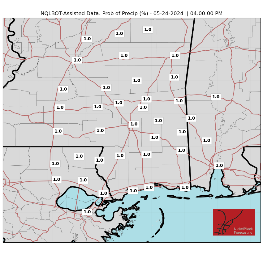
More of the same over the next few days with passing clouds, morning warm and afternoon Spring heat. This afternoon, there is an outside shot for a few showers north of I-20, but outside of that, most of the area should be dry.
As the next system tries to poke its nose into the area, it will likely lose a lot of steam and lay up as more of a stationary boundary. That means we could see a few days of hit and miss showers starting Friday and through the weekend.

Both Saturday and Sunday afternoons look to feature a decent shot for rain and storms. Though, as it looks like right now, the threat for severe storms is on the lower end of the scale.
Normally I would say, “We only have another few weeks of our ‘true’ severe weather season'” but, a bit like last year, I tend to think this year’s severe weather season may linger into May and perhaps even June. It won’t be as robust as last year’s, (given the available data) but we will still be dodging MCSs and fronts through mid-May at the very least.
REGIONAL DAY TO DAY FORECAST
Today: Mostly cloudy with the outside shot for a shower. Highs in the lower 80s. South winds 10 to 15 mph. Chance ofr rain around 10 percent.
Tonight: Mostly cloudy. Lows in the mid 60s. South winds 5 to 10 mph.
Thursday: Mostly cloudy. Highs in the lower 80s. South winds 5 to 10 mph.
Thursday Night: Mostly cloudy. Lows in the mid 60s. South winds 5 to 10 mph.
Friday: Mostly sunny with increasing clouds in the afternoon and evening. A shower or storm are possible. Highs in the upper 80s. Southwest winds 5 to 10 mph. Chance for rain around 10 percent.
Friday Night: Mostly cloudy. Lows in the mid 60s.
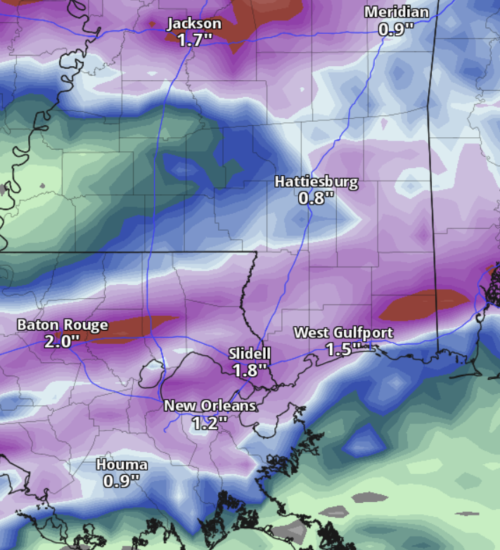
Saturday: Mostly cloudy with storms possible. Locally heavy rainfall possible in the afternoon. Highs in the mid 80s. Chance of rain 40 percent.
Saturday Night: Mostly cloudy. A slight chance of showers and thunderstorms after midnight. Locally heavy rainfall possible after midnight. Lows around 60. Chance of rain 40 percent.
Sunday: Mostly cloudy with a chance of showers and thunderstorms. Locally heavy rainfall possible. Cooler with highs in the lower 70s. Chance of rain 70 percent.
Sunday Night: Mostly cloudy. Lows in the lower 50s.
Monday: Mostly sunny. Highs in the upper 70s.
Monday Night: Mostly clear. Lows in the lower 50s.
Tuesday: Sunny. Highs in the lower 80s.


