As I described yesterday, we’ll be seeing a period of dry, warmer than average days and this will continue on for the next week.
Both at the upper levels and the surface, a strong ridge resides over the south and the eastern US. In the upper levels, a subtropical ridge is forming over the South. At the surface, behind the New England front is an Atlantic/Midwestern ridge.

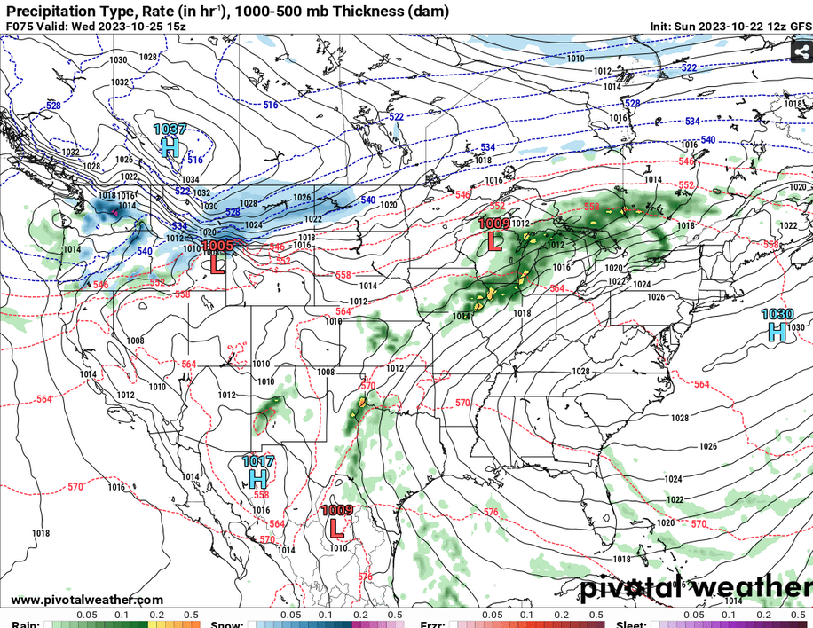
What this means for our neck of the woods is a lack of rain for most if not all of the week. Considering the little bit of rain that we’ve only had for the past few weeks, the fire danger aspect for this has not been diminished by much. Drier conditions will remain until we see a bit of a turn around by the end of the weekend. Not to go too far out, but both the GFS and the Euro models or possibly showing another cold front moving in by the beginning of the week next week.
What this will also mean is that conditions will becomes slightly more humid as we move towards the weekend. As there’s more mixing of Gulf moisture, we’ll see more of that familiar humidity that we’ve oh so missed.
Temperatures will remain in the low to mid 80s for the next several days. At night, we’ll see temperatures dip into the upper 50s to low 60s with fairly dry conditions overall. While some models may imply that rain may be coming a bit sooner, so far it looks like the ridge over us has a pretty strong hold and won’t be moving anytime soon.
[wpcode id=”41179″]
Regional Day-to-Day Forecast
Tonight – Mostly cloudy, with a low around 59. Calm wind.
Monday – Patchy fog before 7am. Otherwise, sunny, with a high near 88. Calm wind becoming east southeast around 5 mph in the morning.
Monday Night – Mostly clear, with a low around 60. Southeast wind around 5 mph becoming calm.
Tuesday – Sunny, with a high near 85. Southeast wind 5 to 10 mph, with gusts as high as 20 mph.
Tuesday Night – Mostly clear, with a low around 61. Southeast wind around 5 mph becoming calm in the evening.
Wednesday – Mostly sunny, with a high near 83. Light east wind becoming east southeast 5 to 10 mph in the morning. Winds could gust as high as 20 mph.
Wednesday Night – Mostly clear, with a low around 61. Southeast wind around 5 mph becoming calm. Winds could gust as high as 20 mph.
Thursday – Mostly sunny, with a high near 83. South southeast wind 5 to 10 mph, with gusts as high as 20 mph.
Thursday Night – Partly cloudy, with a low around 62. South southeast wind around 5 mph becoming calm.
Friday – Mostly sunny, with a high near 84.
Friday Night – Partly cloudy, with a low around 62.
Saturday – Mostly sunny, with a high near 84.
Saturday Night – Mostly clear, with a low around 61.
Sunday – Sunny, with a high near 84.
[wpcode id=”41149″]


