Happy Friday everyone! It is continuing to be a rainy weekend some slight chances for thunderstorms throughout the region. The summer heat will continue to stick around with temperatures into the high 80s and low 90s but not quite as hot as those we have seen the past couple weeks. Let’s take a deeper dive into when and where to expect most of this rain this weekend.
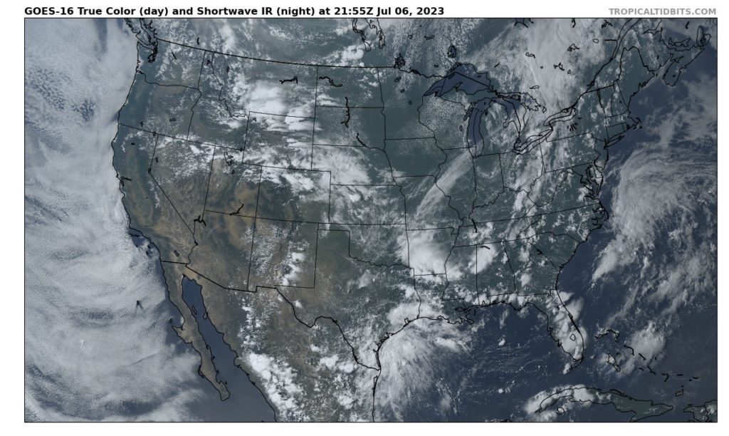
Current Satellite as of Thursday // Courtesy: Tropical Tidbits
[wpcode id=”41149″]
For Today!
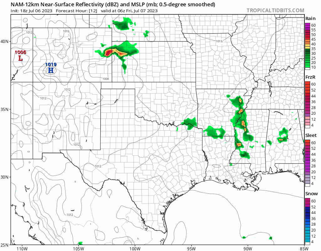
For today, there is a significant chance of showers and thunderstorms with rain that will begin affecting the local area pretty early in the morning. However, the main threat of those storms will generally be later in afternoon. With humid air throughout the area, We can also see that low pressure system make its way into Arkansas that will be generating a lot of vorticity to help develop a lot of these storms further into the weekend.
Further south, there will be numerous storms hitting the coast with strong convection firing up over the Gulf. These storms will be affecting the entire southern portion of Louisiana and will continue to linger over the southeast coast overnight.
[wpcode id=”41149″]
Can’t Escape the Summer Heat

Although we are not quite looking at temperatures surpassing 100 degrees, most of our region is still going to be experiencing high temperatures well into the mid 90s on Saturday. With all that moisture in the area, the “feels like” temperature will be closer into the 100s on Saturday. But there will be a little bit of relief by the start of next week as highs will dip back into the mid 80s.
[wpcode id=”41149″]
Extended Outlook
Looking ahead into next week, this upper-level pattern and trough over the Eastern US will continue to pull moisture from the Midwest and Plains region to provide favorable conditions for that afternoon convection. In combination with clear nights to create a lot of overnight cooling for instability, much of the continuing weather for next week will likely be those afternoon pop-up storms.

[wpcode id=”41149″]
Regional Day-to-Day Forecast
Today: Mostly cloudy. Chance of thunderstorms around 40%. Temperatures reaching the high 80s into the low 90s further South. Winds coming from the Northwest around 5-10 mph.
Tonight: Mostly clear. Chance of thunderstorms around 20%. Temperatures in the high 70s. Winds from the West around 5-10 mph
Saturday: Mostly sunny. Chance of showers and thunderstorms around 50%. High temperatures in the low to mid 90s. Winds from the West 5 to 10 mph. Chance of rain around 70%
Saturday Night: Partly cloudy. Chance of thunderstorms around 20% but mostly clear further south. Low temperatures in the low to mid 70s. Winds southwest around 5 mph.
Sunday: Mostly sunny. Chance of showers and thunderstorms further into the afternoon. High temperatures in the low 90s. Winds from the West around 5-10 mph. Chance of rain 60%.
Sunday Night: Mostly cloudy. Low temperatures in the low to mid 70s. Winds south, southwest 5 to 10 mph with gusts up to 20 mph. Chance of rain 50%.
Monday: Partly sunny. Chance of showers and thunderstorms. High temperatures in the upper 80s to low 90s. Winds from the West around 5 to 10 mph. Chance of rain 70%.
Monday Night: Partly cloudy. Chance of showers and thunderstorms. Low temperatures in the low to mid 70s. Winds from the Southwest 5 to 10 mph. Chance of rain 50%.
Tuesday: Partly sunny. Chance of showers and thunderstorms. High temperatures around high 80s to low 90s. Winds from the West around 5 to 10 mph. Chance of rain 60%.
Tuesday Night: Mostly cloudy. Chance of showers and thunderstorms. Low temperatures in the mid to high 70s. Winds from the Southwest around 5 to 10 mph.
Wednesday: Partly sunny. Showers and thunderstorms likely. High temperatures in the low to mid 90s. Winds southwest 5 to 10 mph.


