After a tornado warning popped up around Marion County and moved into Lamar County, I think it’s safe to say it’s nice to have some good weather. This weekend is definitely the case with cooler and drier temperatures compared to the warm and humid we had earlier this week.
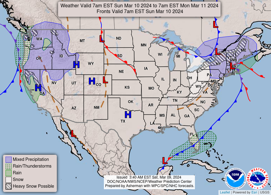
A prominent surface high will overtake the region for the next several days along with a mid-level ridge over us. For us, that means that conditions will be fairly seasonal if not slightly cooler than average for a few days. We’ll see partly cloudy skies which will keep the temperatures down a bit but not too cold for this time of year. Going into the evening, clouds will be on the increase as temperatures drop into the mid-40s for Sunday and Monday. It will likely be one of those “bring a jacket with you and take it off by afternoon” type of weekends as the wind dies down with the cold front moving out.
So, overall a nice break from the warm, humid, and stormy week we had last week. Temperatures will hover around the 60s for the next few days and winds will be coming from the north and shifting to the east by Monday. By nighttime, we’ll drop into the mid to upper 40s with clouds on the increase.
[wpcode id=”41179″]
Regional Day-to-Day Forecast
This Afternoon – A slight chance of sprinkles before 3pm. Mostly cloudy, with a high in the mid 60s. North northwest wind 10 to 15 mph.
Tonight – Mostly cloudy, with a low in the mid 40s. North northwest wind 5 to 10 mph, with gusts as high as 20 mph.
Sunday – Sunny, with a high in the mid 60s. North wind 5 to 10 mph.
Sunday Night – Mostly cloudy, with a low in the low 40s. North northwest wind around 5 mph.
Monday – Mostly sunny, with a high in the upper 60s. East wind around 5 mph.
Monday Night – Mostly clear, with a low around 40. East wind around 5 mph becoming calm.
Tuesday – Mostly sunny, with a high in the low 70s. Light and variable wind becoming south 5 to 10 mph in the morning.
Tuesday Night – Partly cloudy, with a low around 50. South southeast wind 5 to 10 mph.
Wednesday – A 20 percent chance of rain before noon. Mostly sunny, with a high in the upper 70s. South wind 5 to 10 mph.
Wednesday Night – Partly cloudy, with a low in the upper 50s.
Thursday – A 40 percent chance of showers and thunderstorms. Mostly cloudy, with a high near 80.
Thursday Night – A 50 percent chance of showers and thunderstorms. Cloudy, with a low in the low 60s.
Friday – Showers likely and possibly a thunderstorm. Mostly cloudy, with a high in the mid 70s. Chance of precipitation is 70%.
[wpcode id=”41149″


