Clouds will start to increase through the day today with a chance for rain moving into the area tomorrow morning.
The latest from the HRRR model shows the rain moving intot eh region by midnight across Louisiana but closer to 4am for Mississippi.
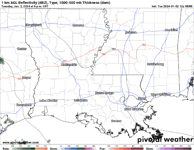
It is during this window when I think some “wet-bulbing” have help to offer a chance for some brief snowflakes to mix in with the rain – or a short burst of full-on snowfall.
But the chance that you see a wintry mix is dependent on a few things. First, we need to make some snowflakes, then we need to keep the column of air near or below-freezing from the ground up to where we are building those snowflakes, and we can’t be too dry in the lower levels so the snow sublimates before it reaches the ground.

And so far, it looks like the area most likely to see this happen is in the highlighted area on teh map above.
Beyond that, the next system that arrives on Friday may have some elevated showers and storms with some gusty wind. Severe weather isn’t anticipated at this time.
REGIONAL DAY TO DAY FORECAST
Tuesday: Sunny. Highs in the upper 50s. Northeast winds around 5 mph.
Tuesday Night: Mostly clear in the evening, then mostly cloudy with a chance of showers after midnight. Lows in the mid 30s. East winds around 5 mph. Chance of rain 50 percent.
Wednesday: Showers likely. Wintry mix around sunrise possible. Highs around 45. Northeast winds 10 to 15 mph with gusts up to 25 mph. Chance of rain near 100 percent.
Wednesday Night: Mostly cloudy. Lows in the lower 30s. North winds 10 to 15 mph.
Thursday: Sunny. Highs in the mid 50s.
Thursday Night: Clear, cold with lows in the lower 30s.
Friday: Mostly sunny. A slight chance of rain showers in the afternoon. Highs around 60. Chance of rain 20 percent.
Friday Night: Showers and storms possible. Lows in the lower 50s. Chance of rain 60 percent.
Saturday: Mostly cloudy with showers in the morning, then clearing. Highs in the lower 60s. Temperature falling into the mid 50s in the afternoon. Chance of rain 40 percent.
Saturday Night: Partly cloudy in the evening, then becoming mostly cloudy. Lows in the upper 30s.
Sunday: Mostly sunny. Highs in the upper 50s.
Sunday Night: Partly cloudy in the evening, then becoming mostly cloudy. Lows around 40.
Monday: Partly sunny in the morning, then mostly cloudy with a chance of showers in the afternoon. Highs in the mid 60s. Chance of rain 50 percent.


