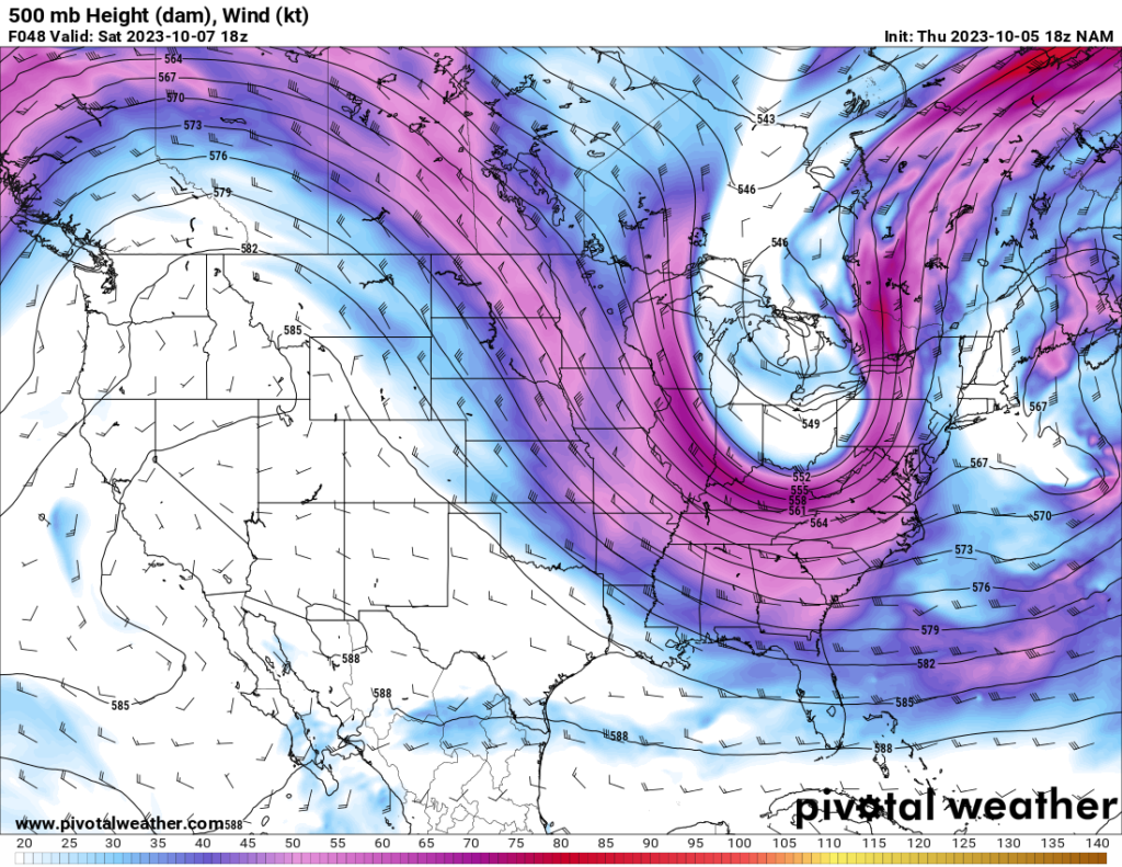
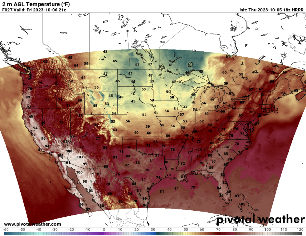
Much of the US will feel a fall chill this weekend, especially in the eastern and central CONUS. A trough is currently moving eastward across the Midwest and is expected to reach the Northeast by Sunday. This trough is associated with a cold front that will bring some areas their first taste of cold weather for the fall season. The northern Plains and Midwest will see highs in only the 40s or 50s on Friday and are expected to see lows that reach freezing in a few areas over the next couple nights.
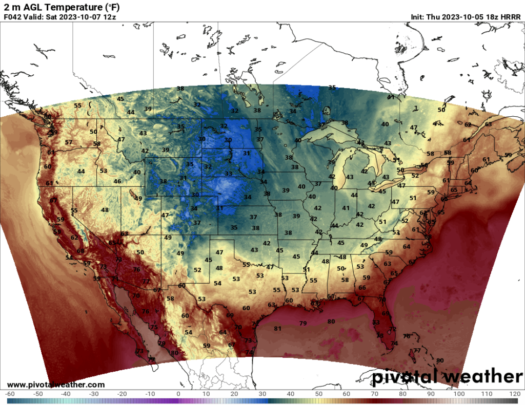
By Saturday or Sunday, the cold front will reach the East Coast. Almost all of the CONUS will see lows in the 40s or 30s Saturday night, and the East Coast will see highs only in the 60s or 50s on Sunday. For those in the South, this will be a big change from the heat they’ve been experiencing.
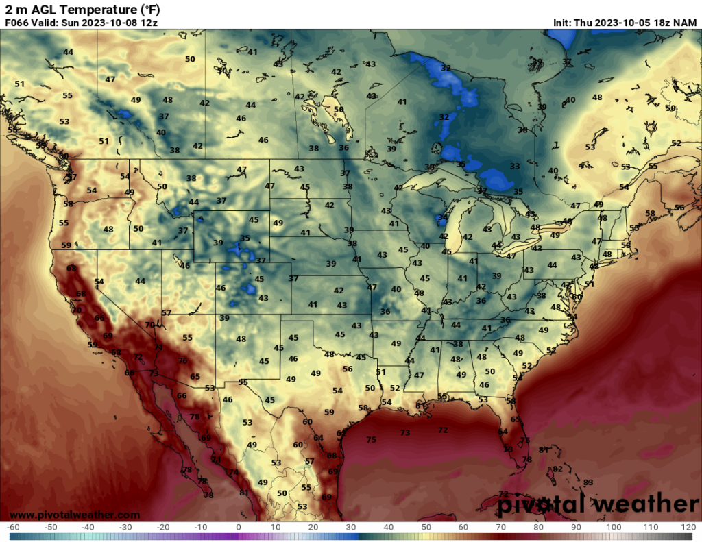
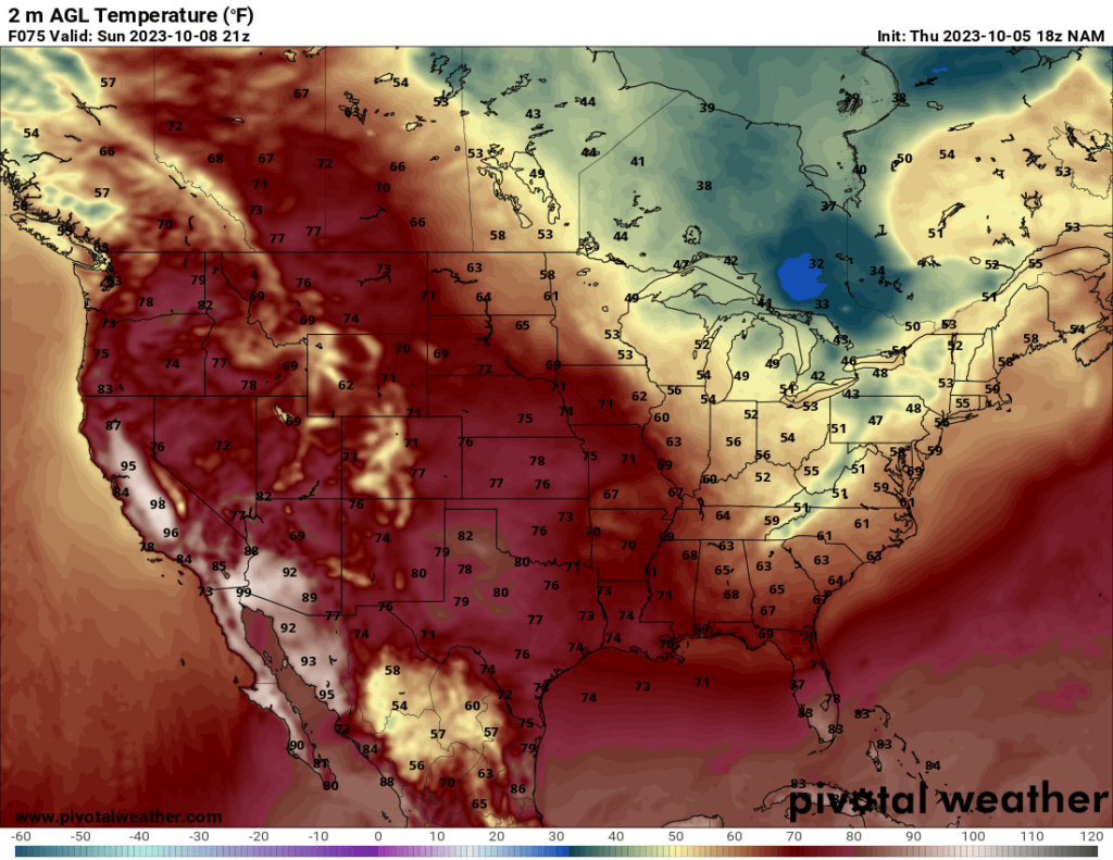
The western CONUS will see warmth return this weekend as a ridge moves over the area, and we will essentially see the reverse of the situation in my last CONUS forecast (where the western US was cool and the eastern US was warm).
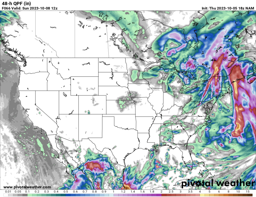
In terms of severe weather, there isn’t much to talk about this weekend. The cold front is currently bringing showers and a few thunderstorms to the Midwest, and it will bring precipitation to the Northeast over the next couple days, but severe weather is not expected with the system. Much of the other parts of the CONUS will see fairly sunny skies over the weekend.


