Hello, I hope you had a great week and were able to beat the heat. Unfortaly, the heat is forecasted to stick around through the weekend. Dryer conditions are also forecasted to remain in place this weekend, with only a slight chance of afternoon thunderstorms. Flooding and heavy rains are unlikely, with only the dangeruly high temperatures a concern.
The Heat Continues

It feels like us forecasters are saying the same thing over and over again, but the heat is expected to stick around the region. Heat advisories are in effect for the region, with high temperatures and high relative humidity. This heat is being caused by an upper-level trought that has been baking the Southern and Eastern United States for the last month. It doesn’t seem like this heat wave will be moving or breaking in the near future. Afternoon high temperatures tomorrow are expected to be as high as 100 degrees Fehernheight (38 degrees Celcius). Heat index values are expected to climb as high as 110 degrees Fehernheight (43 degrees Celcius).
Little Chance of Rain


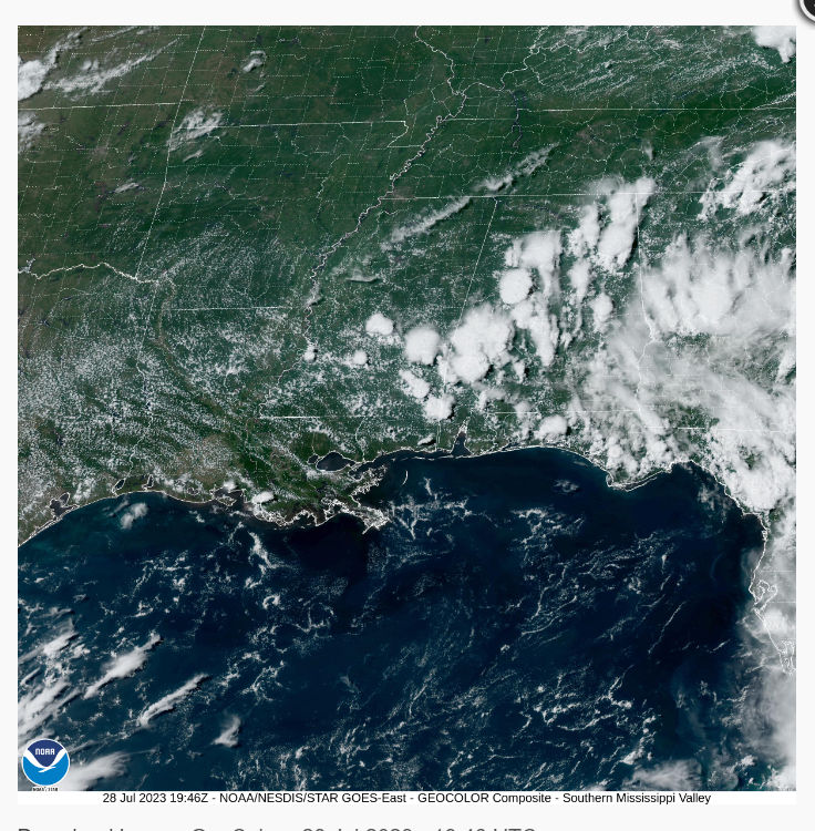
Looking at our rain chances, most of the forecast region is not expected to see rainfall tomorrow. Areas along or near the coast are expected to see the highest chance of rainfall. This is due to the afternoon sea breeze from daytime heating and heating convection mixing with the moist gulf air. Areas east of New Orleans have the best chance of seeing rainfall. This is because of the low-level wind patterns expected tomorrow. None of these storms tomorrow are expected to be severe, with lightning being the biggest threat.
Extended Outlook
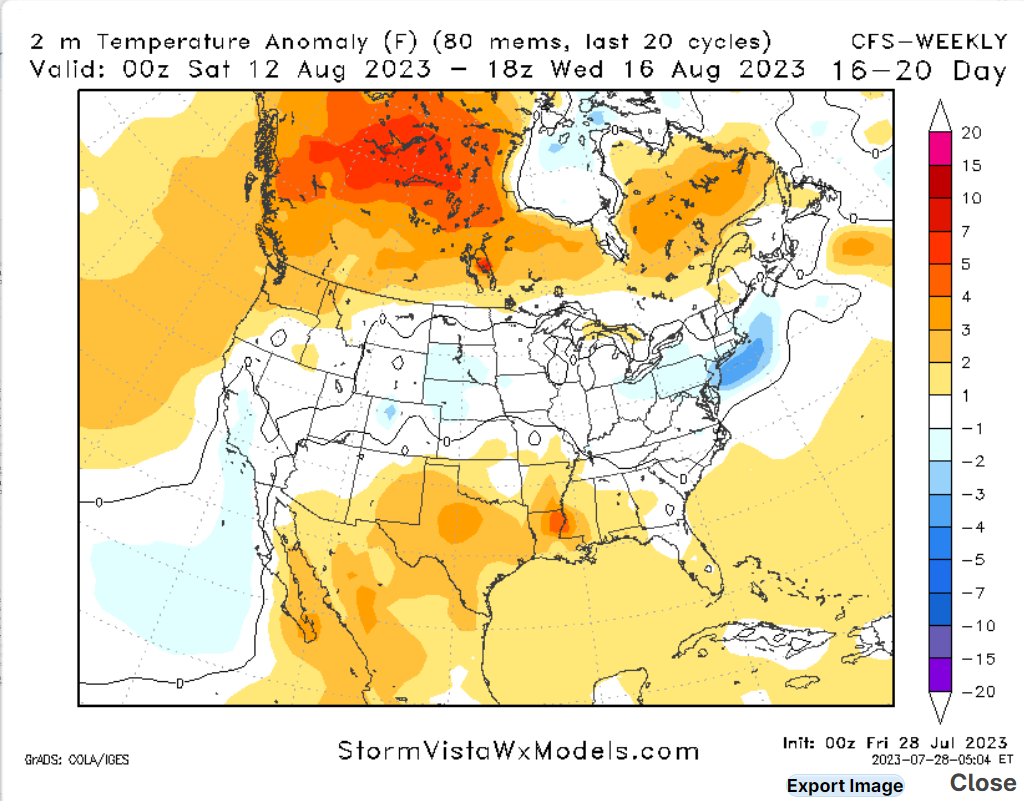
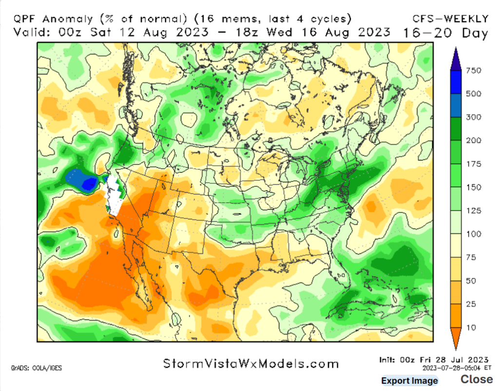
Looking at the extended outlook, these extremely high temperatures should start to slacken as next week approaches. The upper-level ridge that has been dominating the region is expected to start breaking down next week, causing temperatures to cool down somewhat. Rempenr that we are in the dog days of summer, so high temperatures are expected this time of year. Looking at our rain changes, expect below-average rainfall chances to continue for the forcible future.
5 Day Outlook
Today: Mosley sunny and hot, high 96 with a heat index of 107. Winds, northwest at 5 mph. Chance of rain, 20%
Tonight: Mosley clear with a slight chance of rainfall. Low 80. Winds southwest at 5 mph. Chance of rain, 20%
Sunday: Sunny and hot, high 98 with a heat index of 110. Winds northwest at 5 to 10 mph. Chance of rain, 20%
Sunday Night: Mosley clear with a slight chance of rainfall. Low 80. Winds southwest at 5 mph. Chance of rain, 20%
Monday: Sunny and hot with a high of 100. Winds west at 5 to 10 mph. Chance of rain, 20%
Monday Night: Mosley clear with a slight chance of rainfall. Low 80. Winds southwest at 5 mph. Chance of rain, 20%
Tuesday: Sunny and hot with a high of 98. Winds west at 5 to 10 mph. Chance of rain, 20%
Tuesday Night: Partley cloudy. Low 81. Winds south at 5 to 10 mph. Chance of rain, 20%
Wednesday: Sunny and hot with a high of 98. Winds northwest at 5 to 10 mph. Chance of rain, 20%


