The heat is here. And it’s gonna make you feel it.
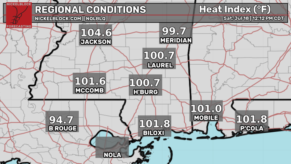
Highs will likely reach the upper 90s across the region. Accordingly, the National Weather Service has issued a heat advisory through Monday evening (and that will probably be extended). Heat indexes will likely exceed 105 today and may reach over 110 in the coming days.
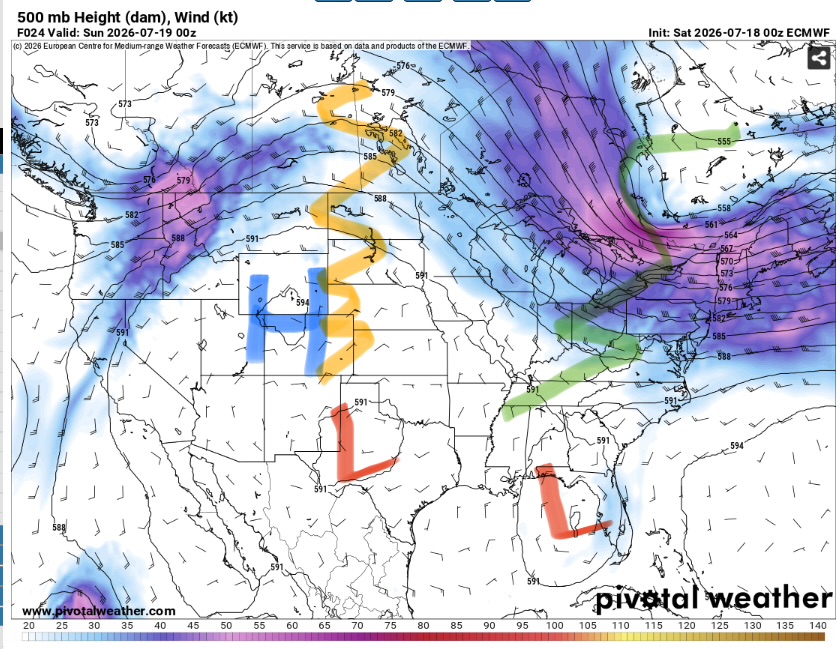
Our area is stuck between the ridge axis and trough axis (over the Great Lakes). This will lead to minimal synoptic scale forcing for convection. This doesn’t mean it won’t storm at all but any convection should remain isolated.
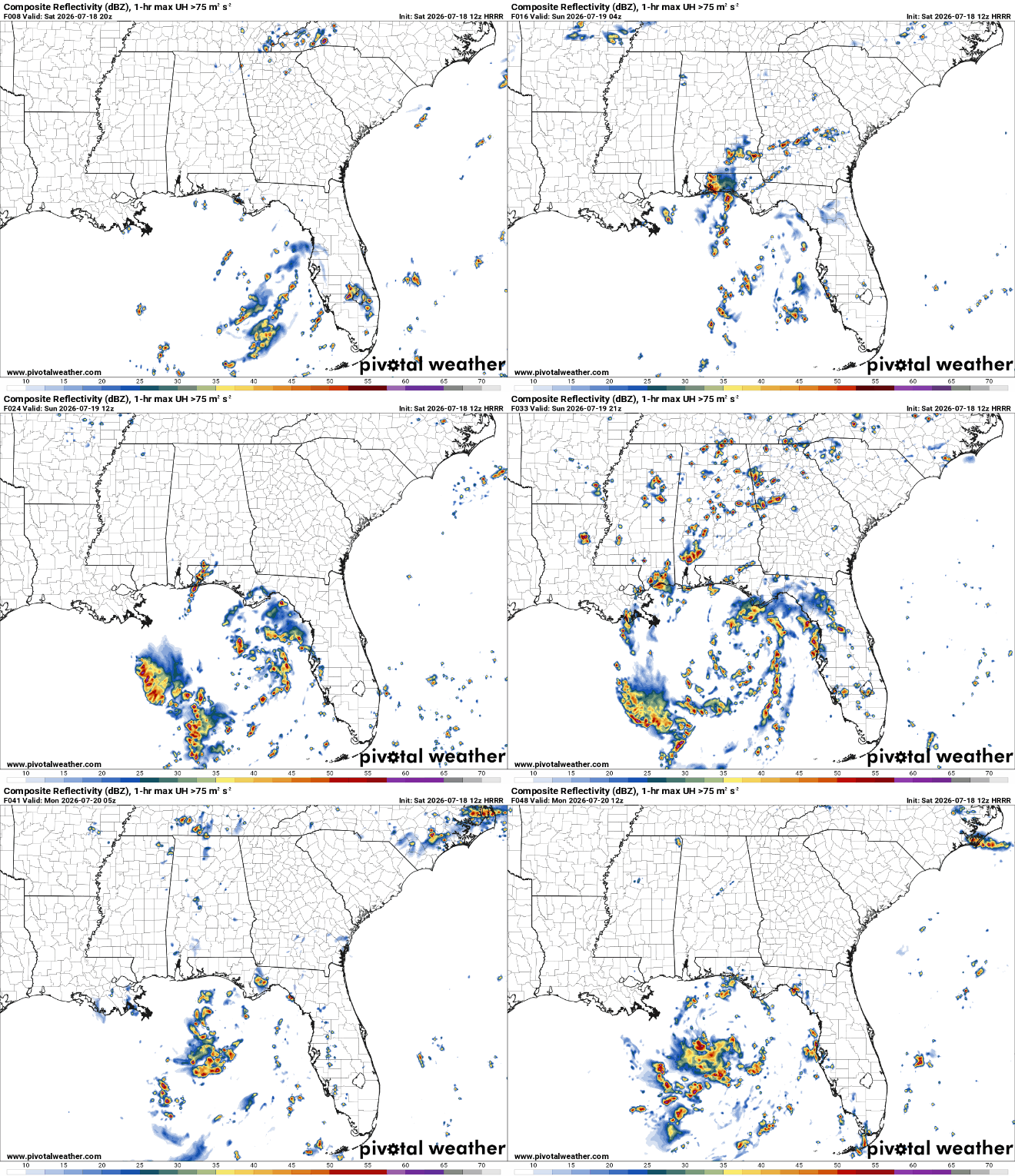
Any storms that develop will be capable of heavy rain and frequent lightning and maybe some gusty winds. Severe weather is not anticipated though.
The main story is definitely the heat. Make sure to drink plenty of water and take frequent breaks in the AC if you must be outside. The elderly, very young, and those with with health issues will be most at risk but these temperatures will be dangerous to anyone who is outside for long periods. A good day to go swimming or stay inside.
One other item to note. Stay tuned for the tropical forecast coming later today. There may be something trying to develop.


