Howdy!
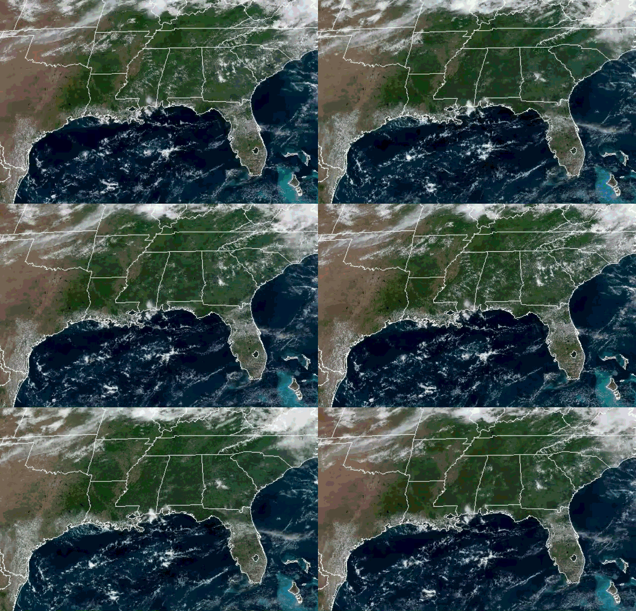
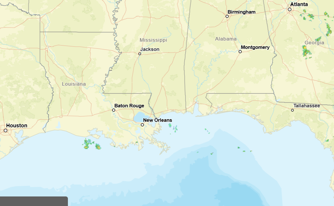
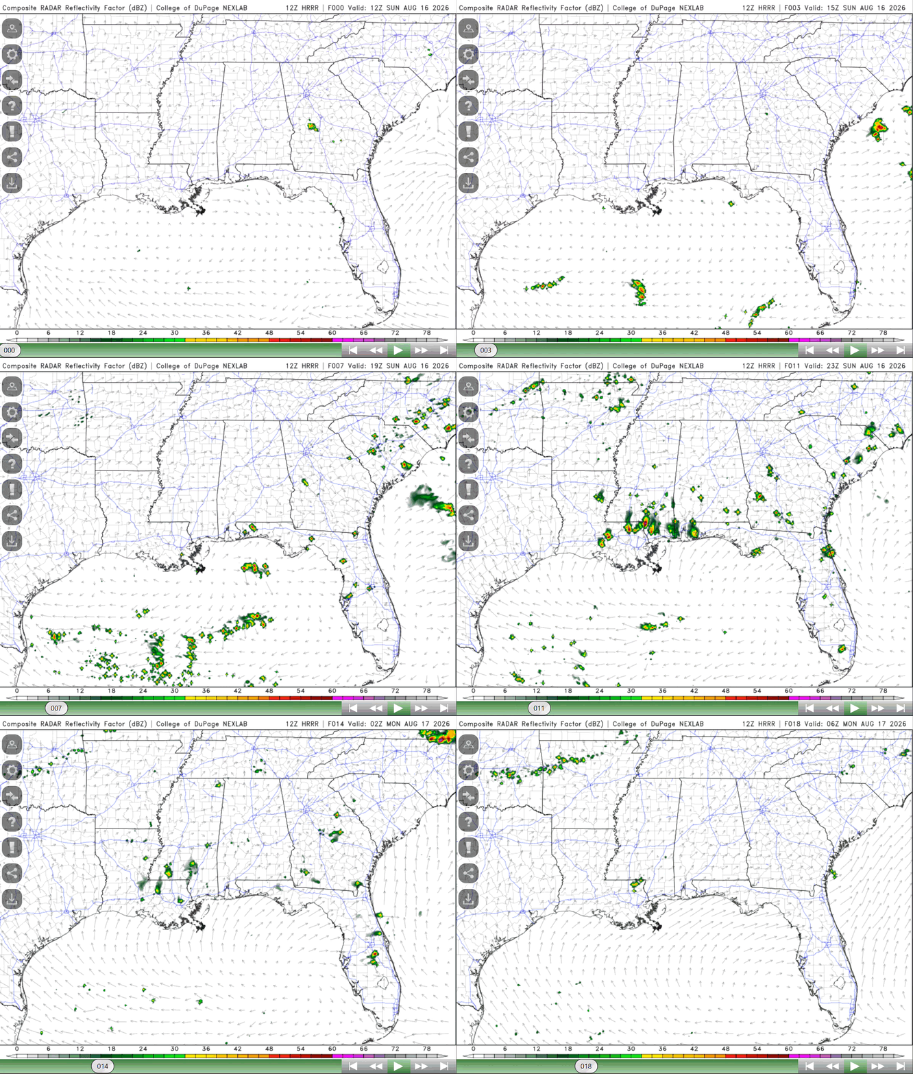
Looking out the window (around 12:00pm CT), there is a bit of cloud coverage near the coast of Mississippi and along the coast of Louisiana. A couple of showers are occurring near the coasts in the gulf, but the main thing for today are the heat advisories that are out for the majority of the region.
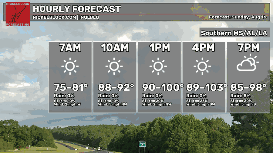
No change to the highs for today (thanks to the high pressure and ridge over us), reaching up to 103 and lows falling in the mid 70s to lower 80s. Muggy conditions will persist for today. A slight decrease in the chance for rain since yesterday, main chances being in the afternoon. Isolated showers and thunderstorms are possible.
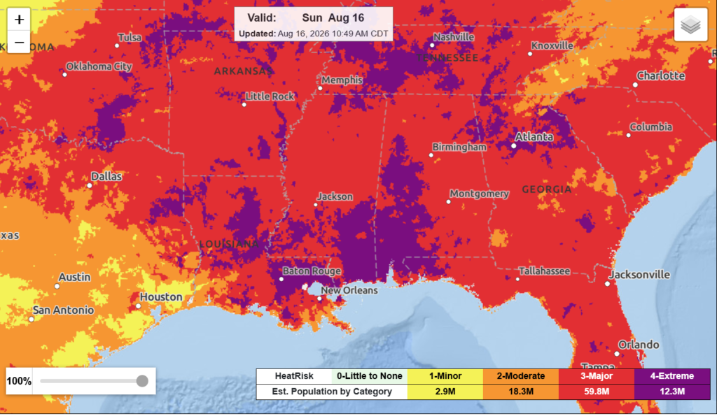
Heat risk is still the main hazard today, a slight decrease in the extreme risk from yesterday, but a good majority of the region is still under that risk. As always, make sure to take this seriously and try to stay cool as best as you can.
Areas closer to the coast have the greatest chance to see some showers and thunderstorms today, not much of a change to this. A very typical summer weather day is in store with the heat and isolated to scattered rain!
Make sure to stay hydrated today and maybe go for a swim to help combat this heat! Other than that, thank you for reading my last forecast post and have a great rest of your Sunday!


