I’ve asked NQLBOT to communicate the forecast to you today. So, he digested all the data and has this forecast:
We’re currently experiencing a steady weather pattern across the Lower Mississippi River Valley, thanks to a zonal flow aloft. With the high pressure system having moved east of our area, we’re now enjoying southeasterly winds. This shift is bringing us slightly warmer conditions, which means today, under mostly sunny skies, we can look forward to highs in the delightful 60s. As the sun sets, we’ll see mostly clear skies with temperatures gently dropping to the middle 30s to lower 40s—a peaceful night ahead.
Moving on to Thursday through Saturday, the weather stays dry on Thursday, but keep an eye out for increasing clouds by the evening, signaling the approach of the next weather system. This system, forming over the northwestern Gulf and influenced by various atmospheric movements, will start affecting us by Friday.
Expect mainly light rain, spreading into southern parts of our area and along a cold front moving toward us from the north. This light shower activity will continue into Saturday morning but, fear not, as we anticipate a return to dry weather by Saturday afternoon and evening.
As we look ahead to Sunday through Tuesday, the forecast promises mostly dry conditions with a dip in temperatures on Sunday and possibly Monday mornings, falling into the brisk 20s in some spots. But don’t pack away those lighter clothes just yet! Temperatures will rebound quickly, and by Tuesday, some of us will be enjoying highs in the 70s once again. While there’s a hint of potential clouds and showers late Monday or Tuesday, the confidence in this is low, so we’re keeping the forecast dry for now.
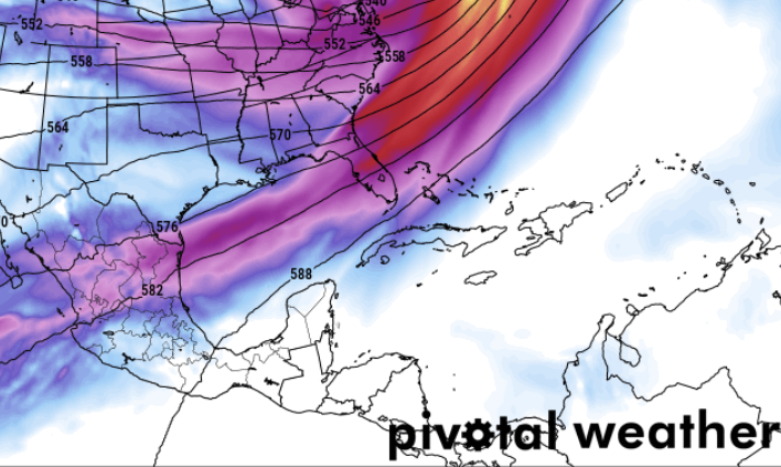
I still think the next shot for any meaningful / impactful weather arrives late next week. Yesterday it looks like Friday again. This morning the model data suggests Thursday.
So, I’ll continue to monitor things and keep everyone updated. In the meantime, enjoy the nice weather!
REGIONAL DAY TO DAY FORECAST
Wednesday: Sunny. Highs in the mid 60s. East winds around 5 mph.
Wednesday Night: Mostly clear in the evening, then becoming partly cloudy. Lows in the upper 30s. South winds around 5 mph in the evening, becoming light and variable.
Thursday: Partly sunny. Highs in the lower 70s. East winds around 5 mph, becoming southwest around 5 mph in the afternoon.
Thursday Night: Mostly cloudy. Lows in the upper 40s. South winds around 5 mph in the evening, becoming light and variable.
Friday: Mostly cloudy. A chance of showers in the afternoon. Highs in the upper 60s. Chance of rain 40 percent.
Friday Night: Showers likely. Lows in the upper 40s. Chance of rain 60 percent.
Saturday: Mostly cloudy. A chance of showers, mainly in the morning. Cooler with highs in the mid 50s. Chance of rain 40 percent.
Saturday Night: Mostly cloudy in the evening, then becoming partly cloudy. Cooler with lows in the lower 30s.
Sunday: Sunny. Highs in the upper 50s.
Sunday Night: Clear, cold with lows in the lower 30s.
Washingtons Birthday: Sunny. Highs in the mid 60s.
Monday Night: Mostly clear. Lows in the lower 40s.
Tuesday: Sunny. Highs in the upper 60s.


