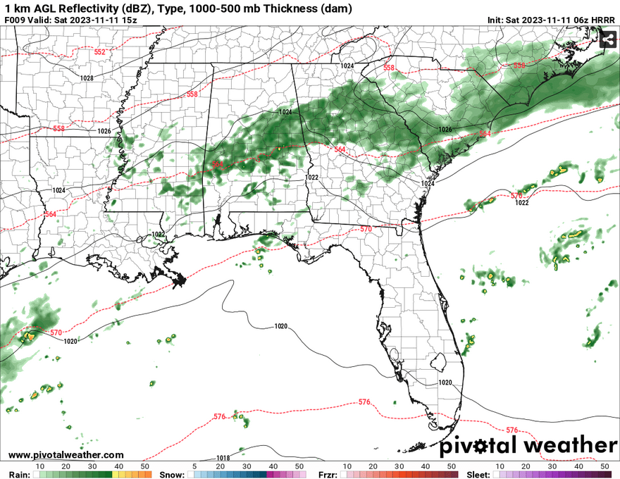
Temperatures are looking much cooler than we’ve had all week with the low clouds and rain hanging around. The rain will make its way eastward out of the Pinebelt with a few stray showers lingering towards the afternoon. While it won’t be much in terms of rainfall totals, some misty sprinkles and light showers can’t be ruled out for most of the area.

The cold front will move further southeast towards the Atlantic and it will leave us a bit drier on Sunday. The clouds will remain with temperatures reaching the upper 60s during the day and lows in the upper 50s at night. A few stray showers are still possible throughout the day.
Come Monday, we’ll still see the low clouds hanging around during the day with highs in the 60s and some windy conditions. Monday afternoon into the evening is when we might see some of the heavier rain move in with a sub-tropical low pushing east from Mexico.
[wpcode id=”41179″]
Regional Day-to-Day Forecast
Veterans DayA 30 percent chance of rain, mainly after 4pm. Cloudy, with a high near 62. North northeast wind 5 to 10 mph.
Tonight – A 40 percent chance of rain, mainly after midnight. Cloudy, with a low around 57. North northeast wind around 5 mph.
Sunday – Cloudy, with a high near 68. Northeast wind around 5 mph.
Sunday Night – A 20 percent chance of rain after midnight. Mostly cloudy, with a low around 56. Northeast wind around 5 mph.
Monday – A 40 percent chance of rain, mainly after noon. Cloudy, with a high near 66. Northeast wind 5 to 10 mph, with gusts as high as 20 mph.
Monday Night – Rain. Low around 55. East northeast wind around 5 mph, with gusts as high as 25 mph. Chance of precipitation is 90%. New precipitation amounts between 1 and 2 inches possible.
Tuesday – Showers and possibly a thunderstorm before noon, then rain and possibly a thunderstorm after noon. High near 62. East northeast wind 5 to 10 mph, with gusts as high as 25 mph. Chance of precipitation is 90%.
Tuesday Night – Showers and possibly a thunderstorm. Low around 56. East northeast wind around 5 mph becoming calm after midnight. Winds could gust as high as 25 mph. Chance of precipitation is 80%.
Wednesday – A chance of showers before noon, then a chance of rain after noon. Mostly cloudy, with a high near 66. Calm wind becoming north northeast around 5 mph. Winds could gust as high as 20 mph. Chance of precipitation is 40%.
Wednesday Night – A 30 percent chance of rain. Mostly cloudy, with a low around 56.
Thursday – Mostly cloudy, with a high near 70.
Thursday Night – Mostly cloudy, with a low around 56.
Friday – Partly sunny, with a high near 73.
[wpcode id=”41149″]


